

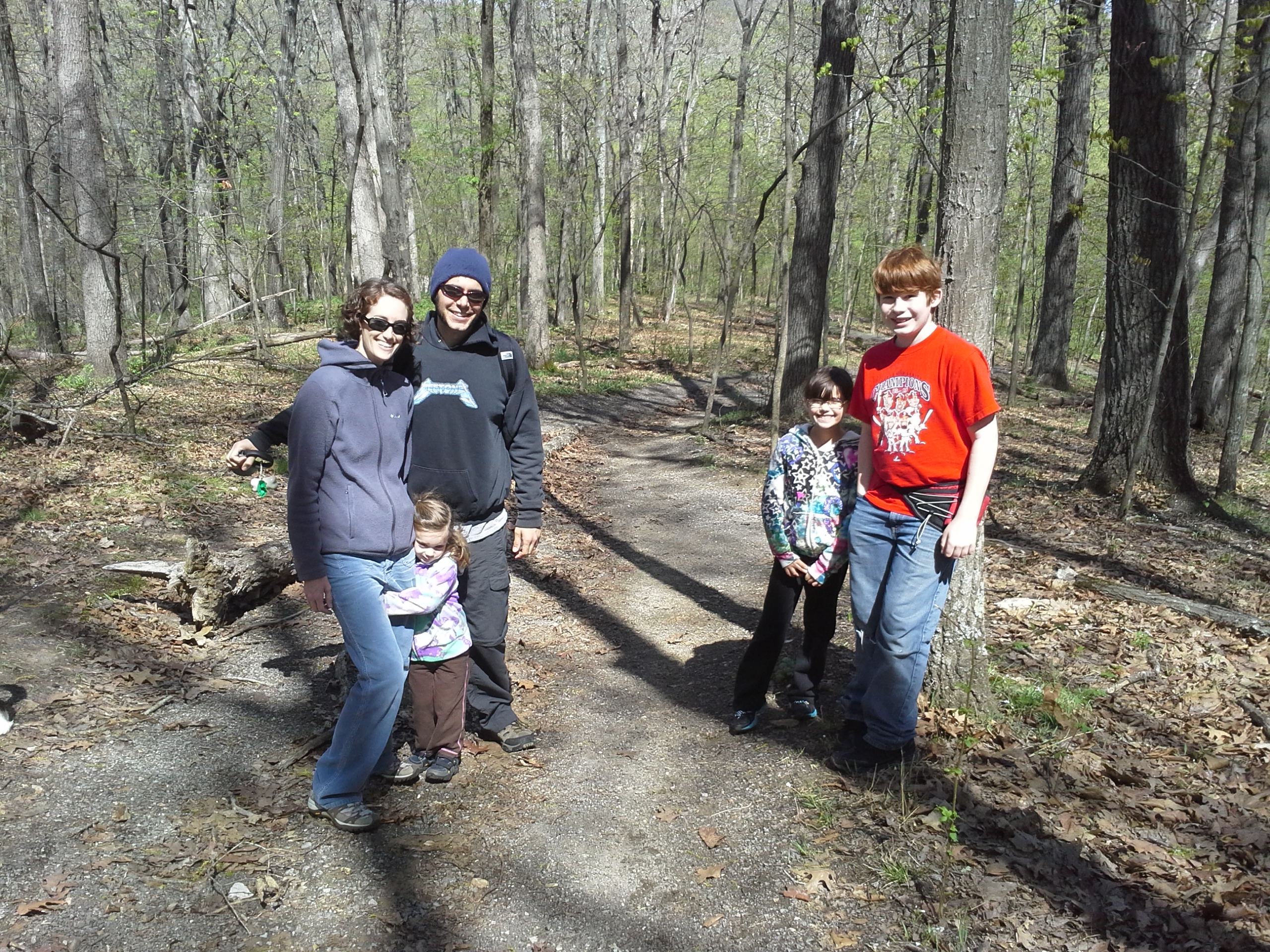
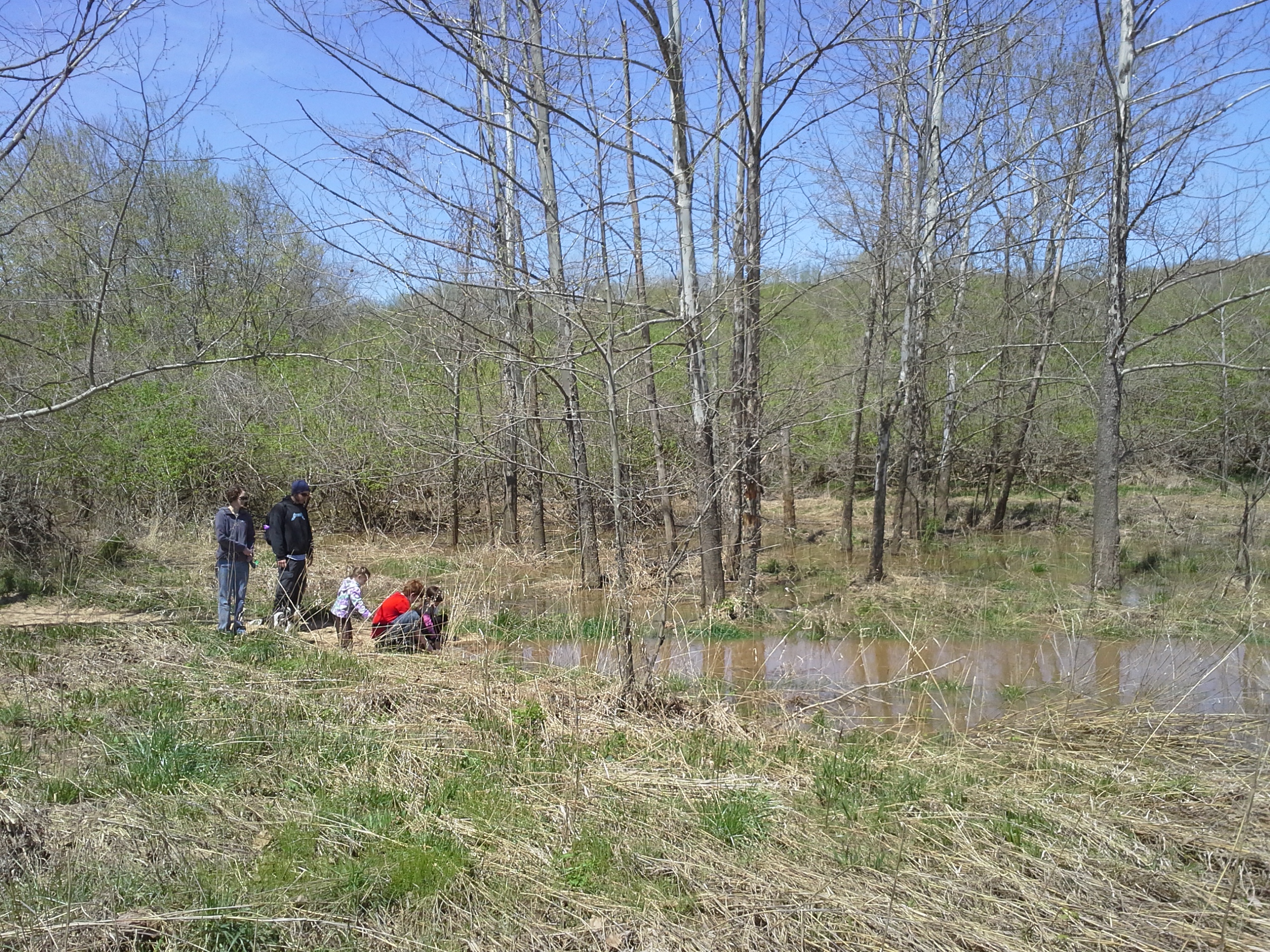
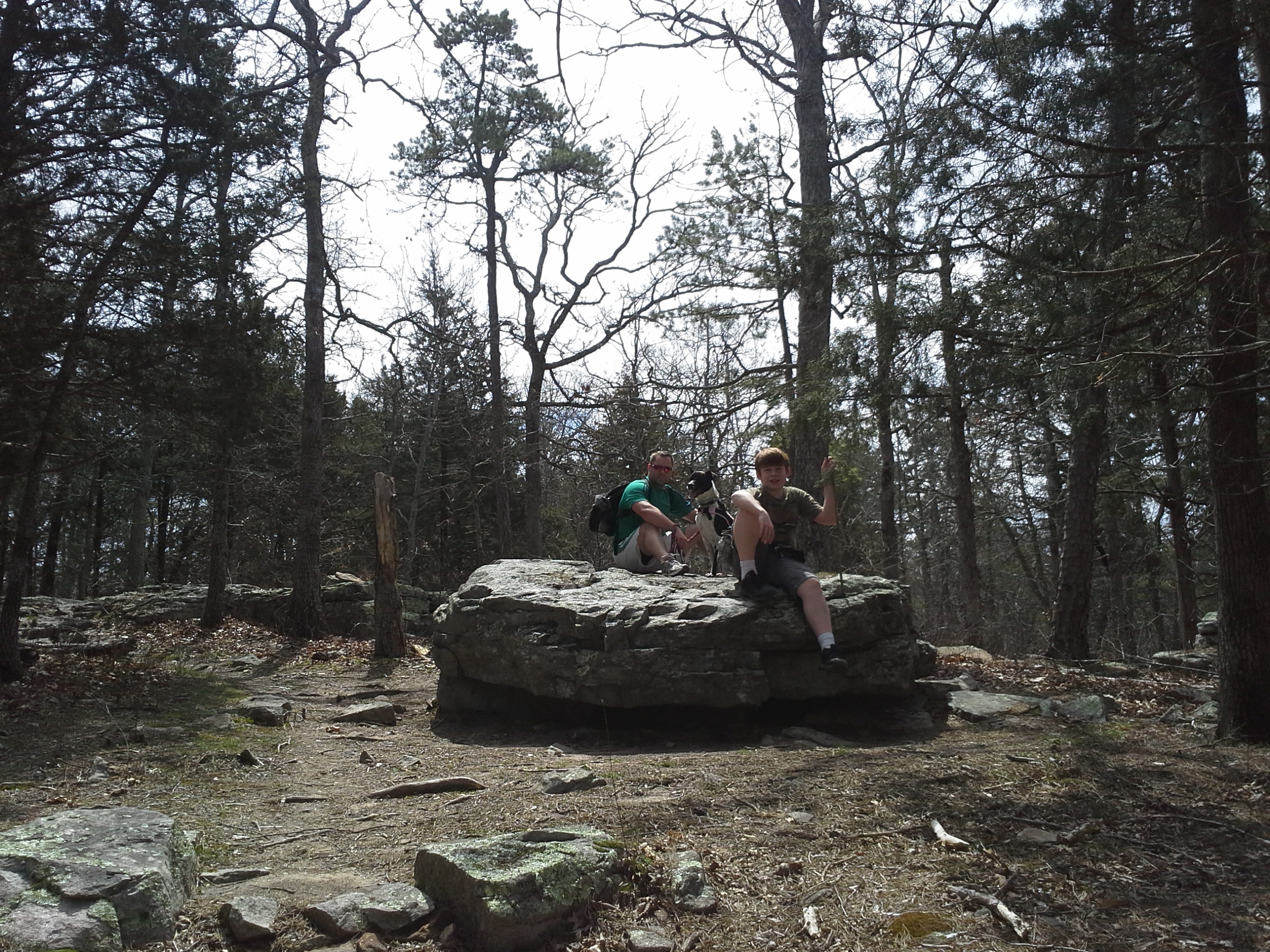
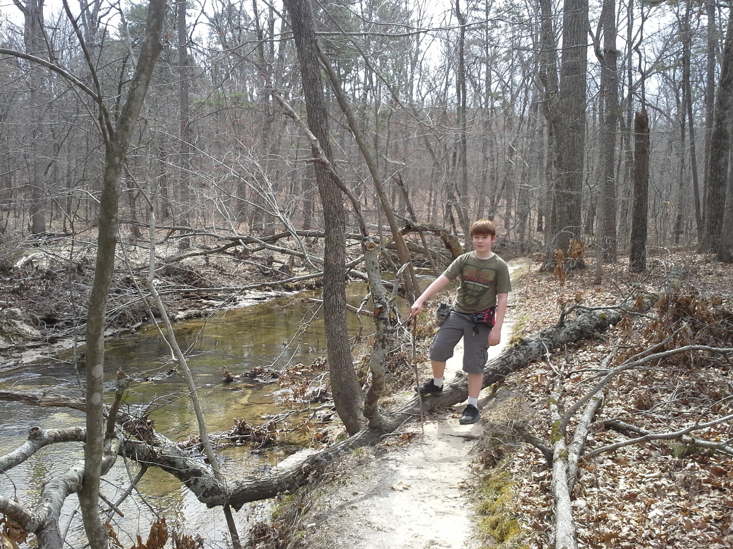
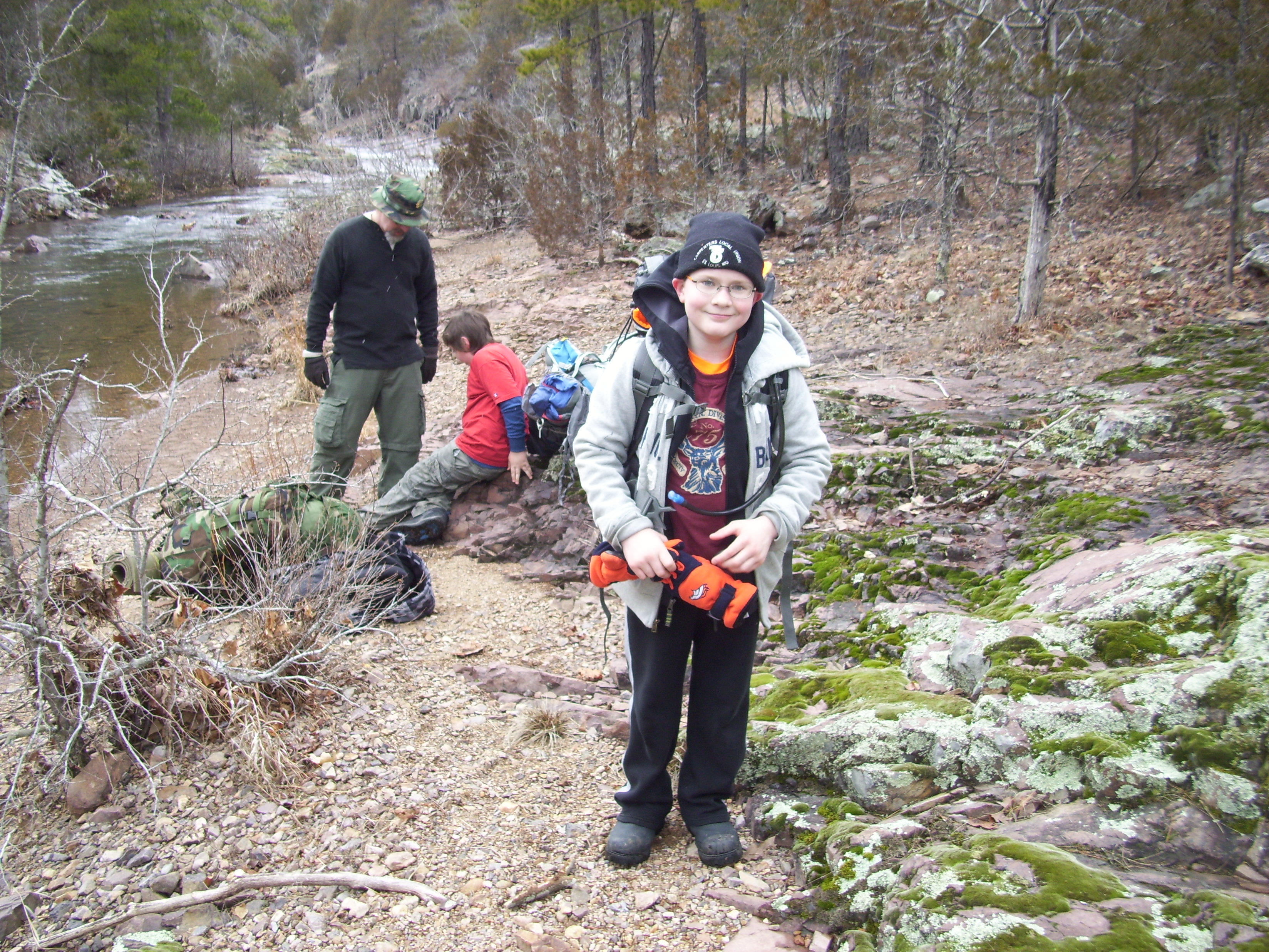
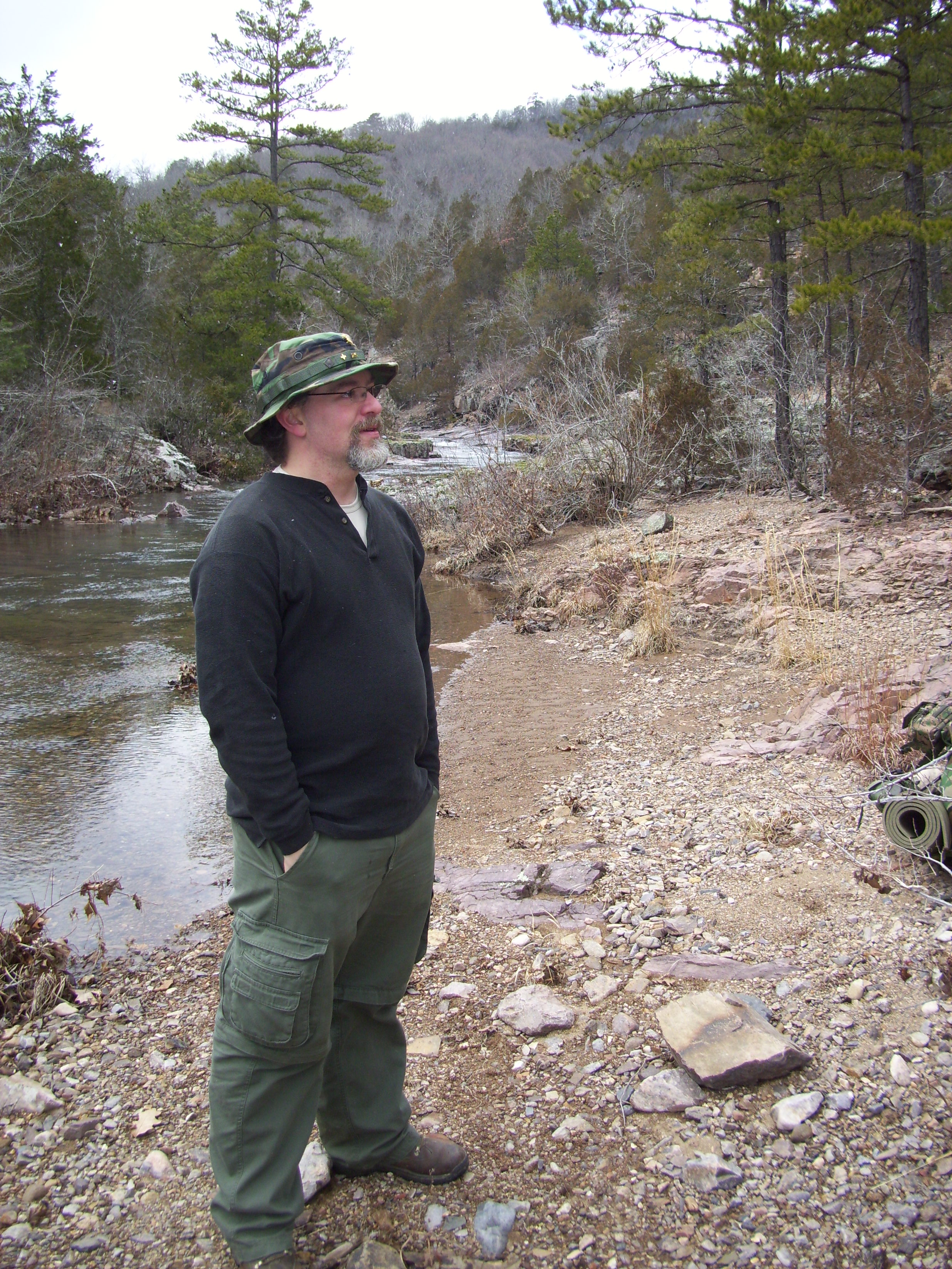
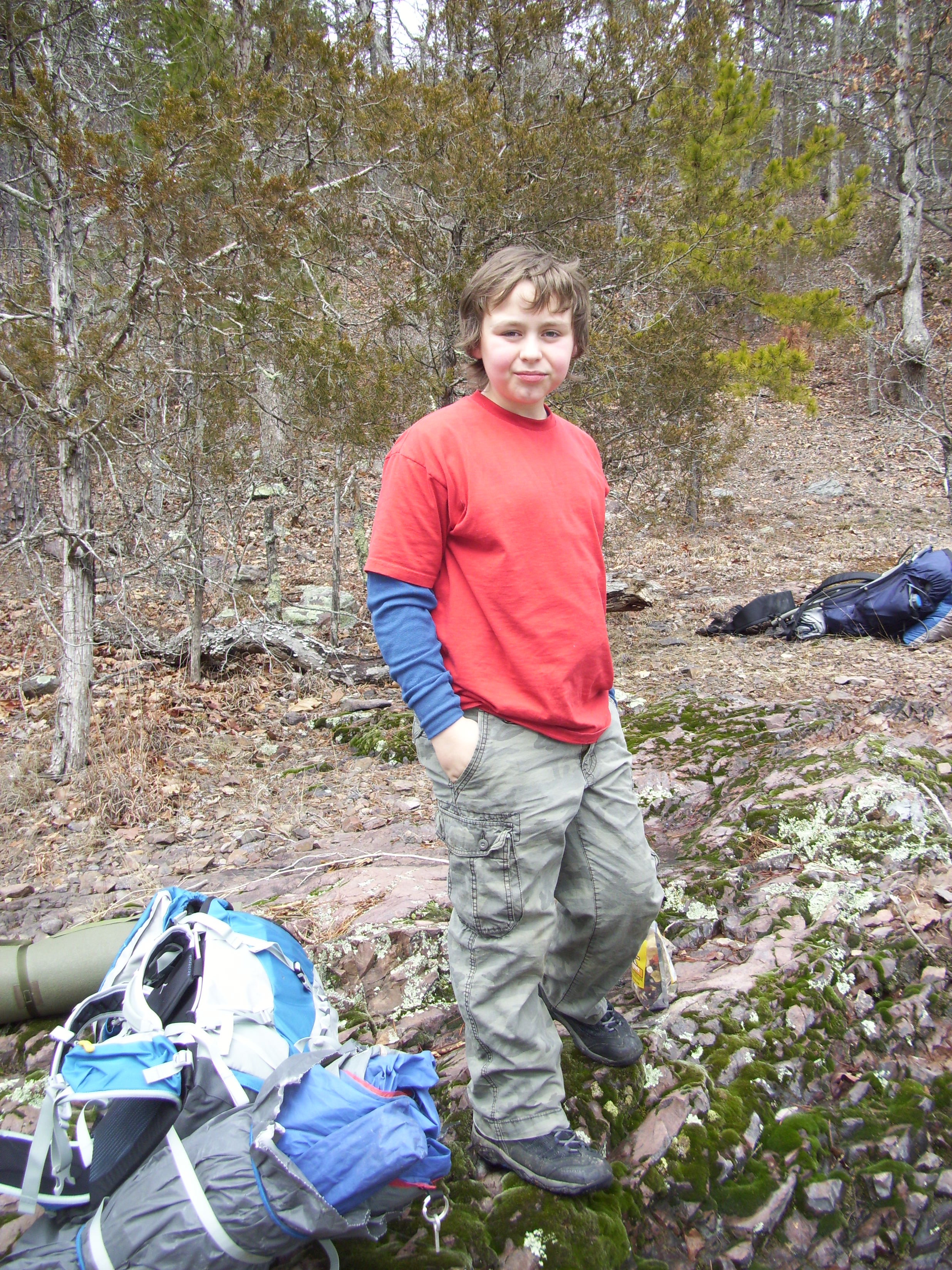
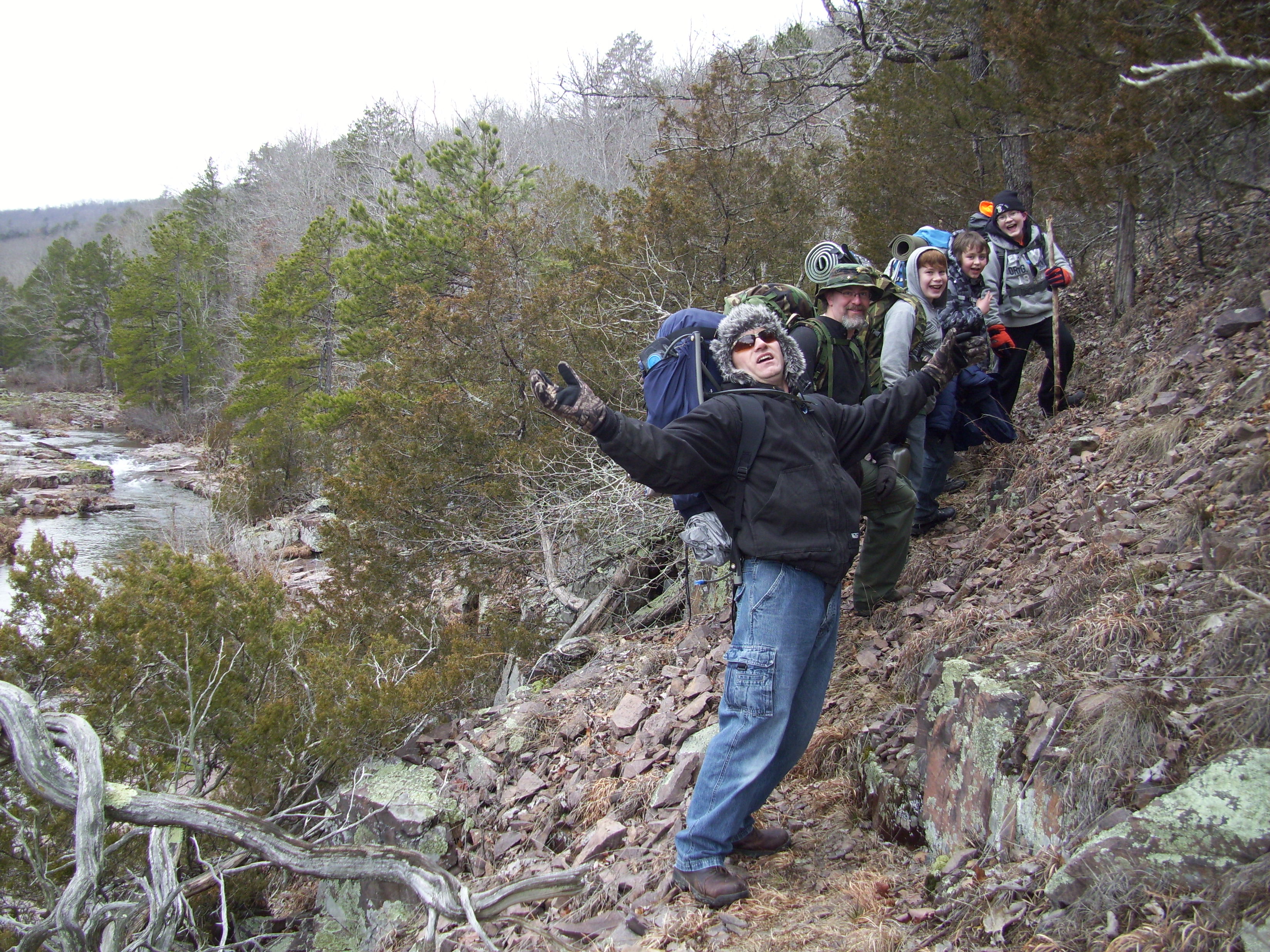
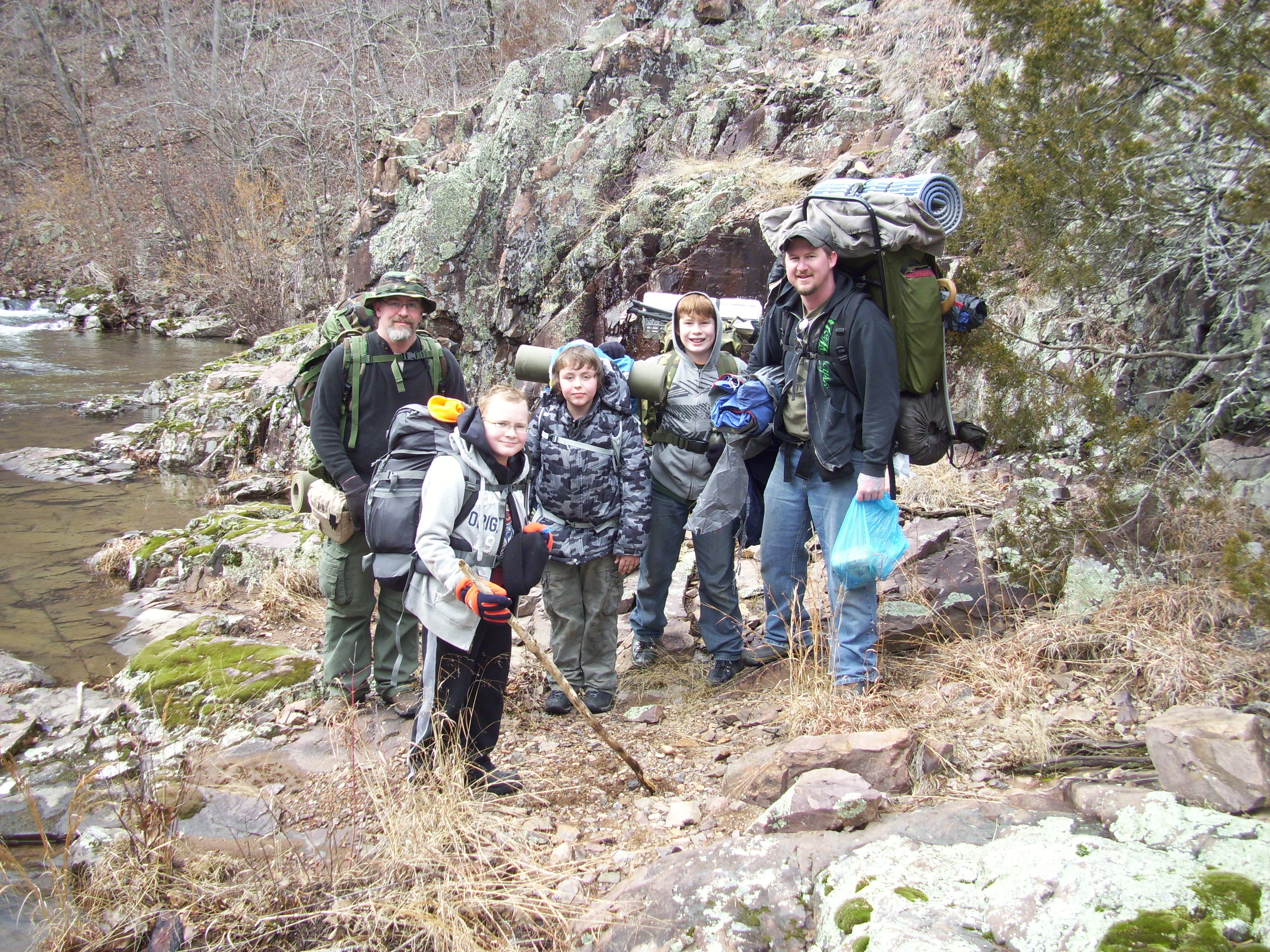
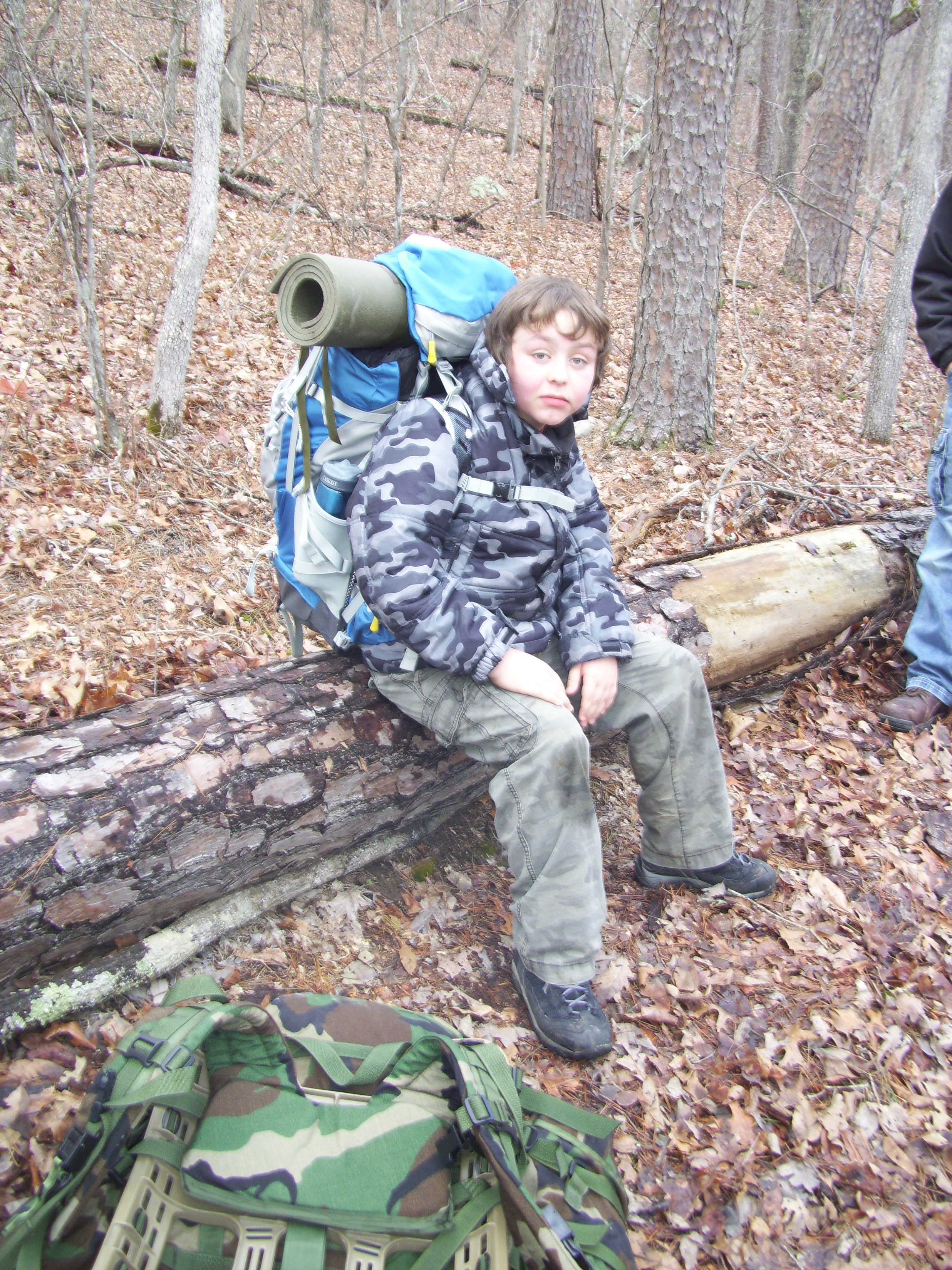
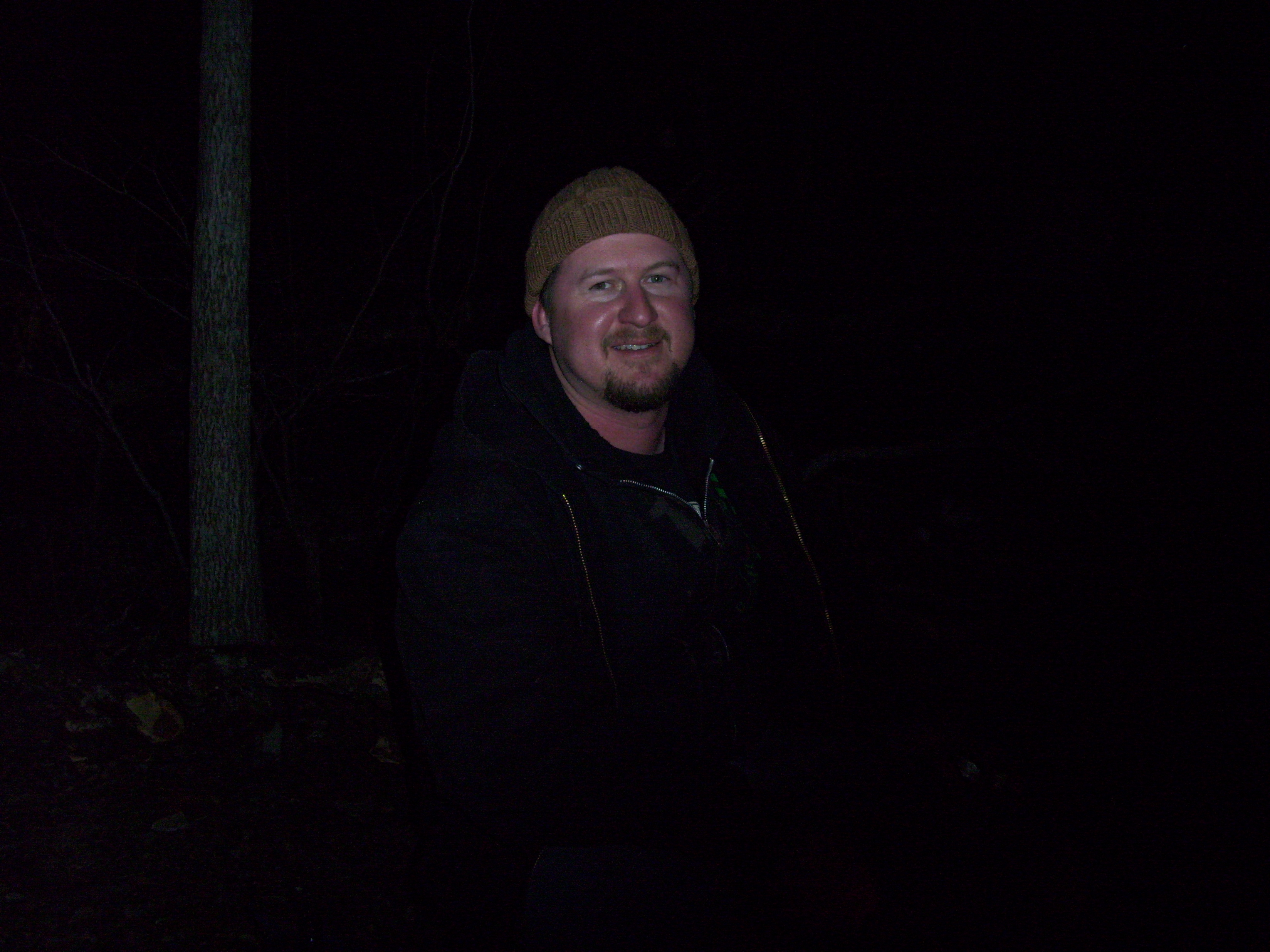
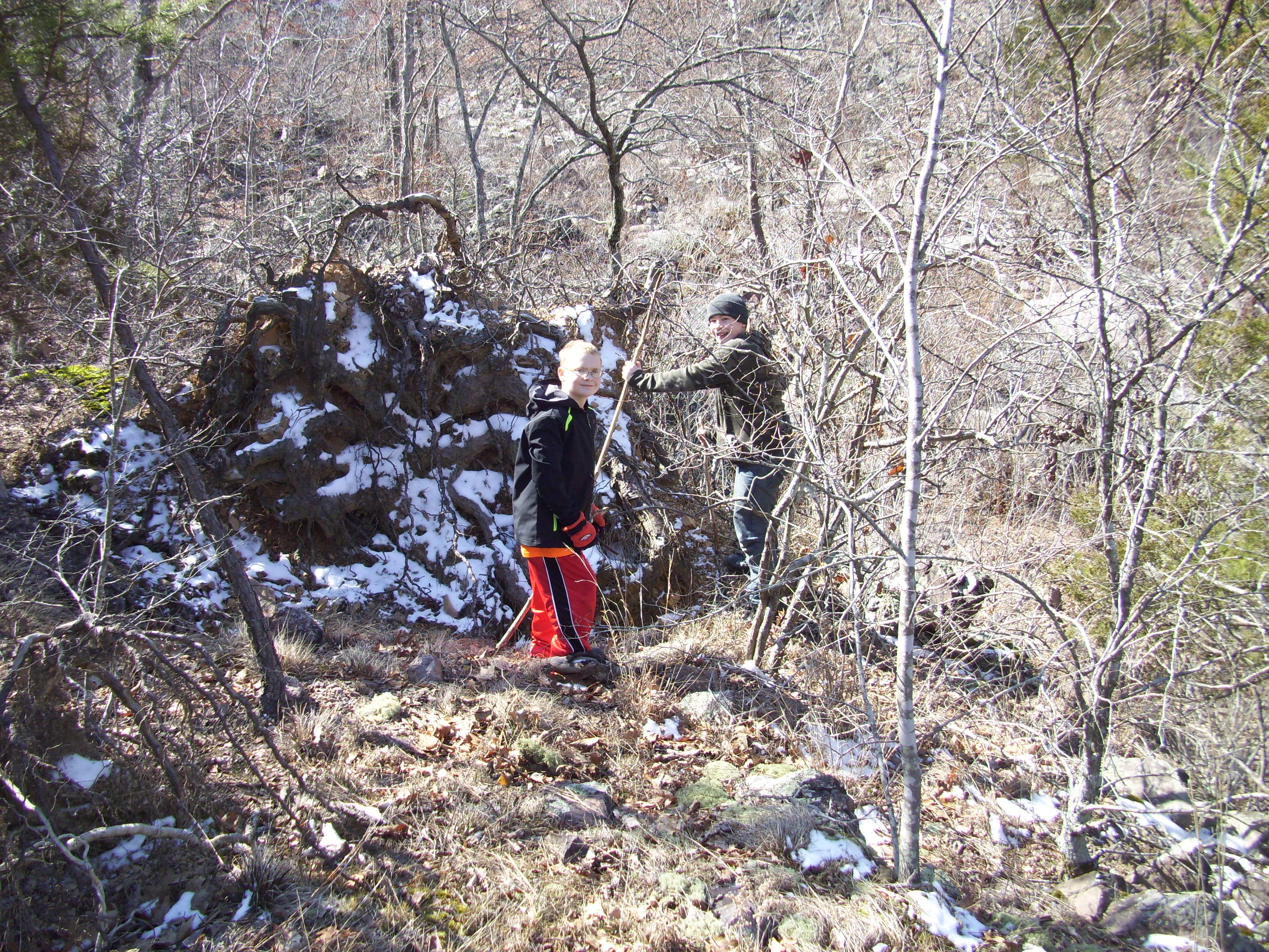
Logan, Max, Eli, and Sophia.
The last time I had hiked this trail was probably 20 years ago. I have been to Rockwoods Reservation now and again for various reasons, and since they have changed their policy to allow dogs I have been there more. But I hadn’t hiked the Lime Kiln Trail since I was a kid, hiking with my mom and sisters. This time it was me and MY children, and it was just as steep and rugged as I remember.
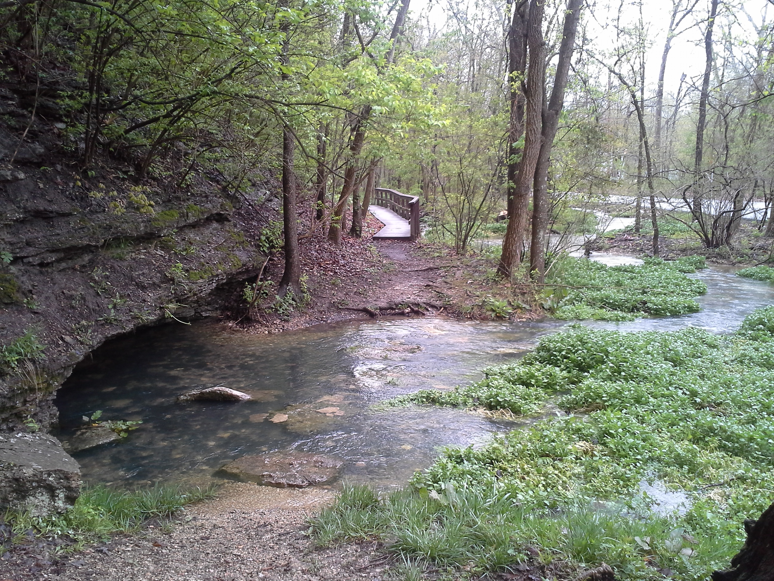
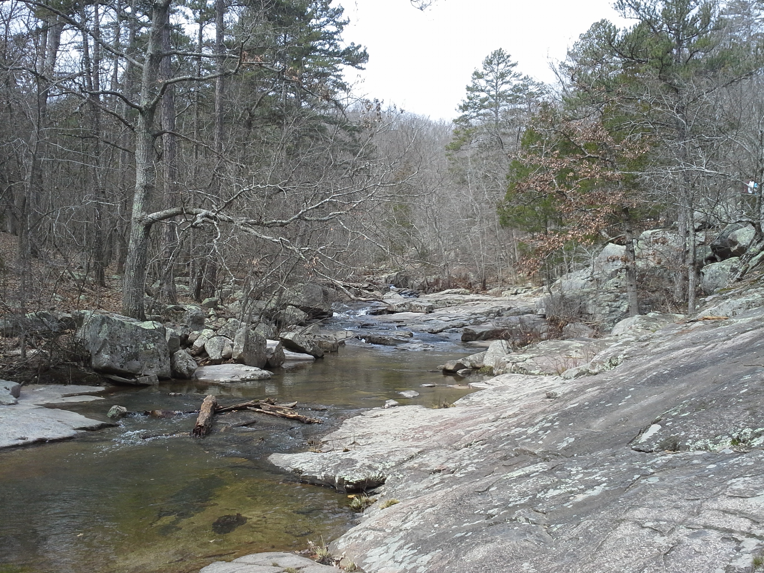
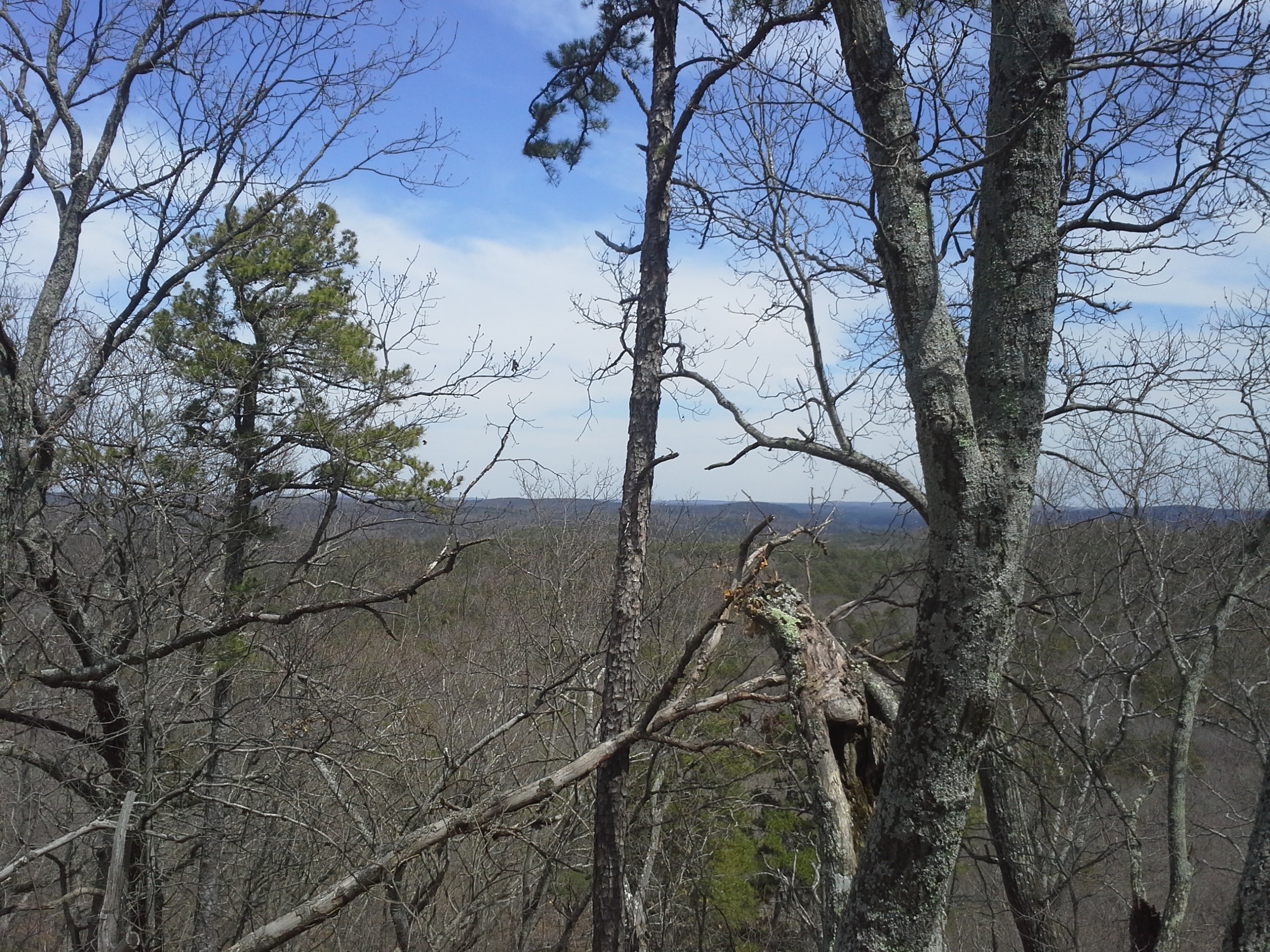
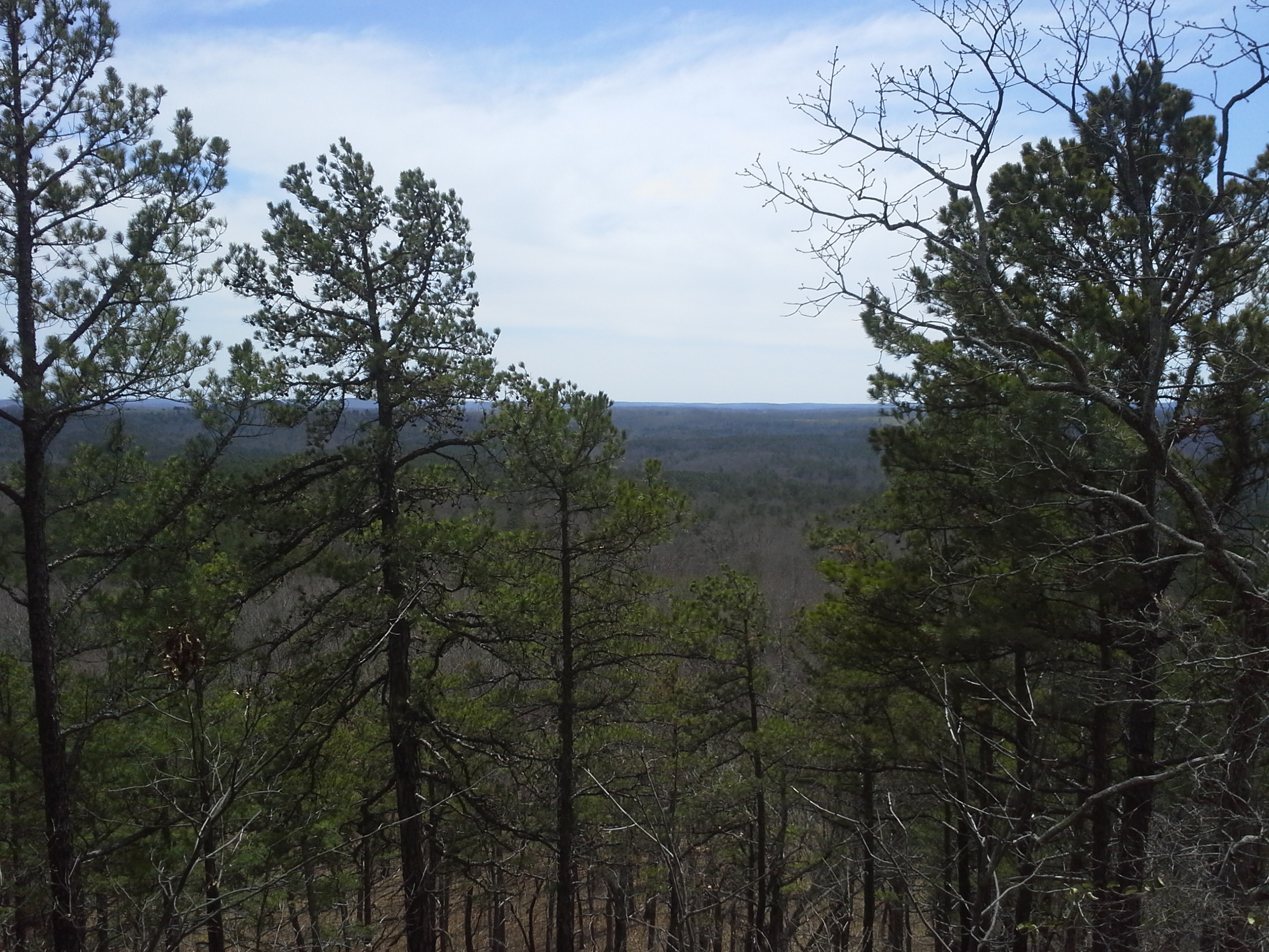
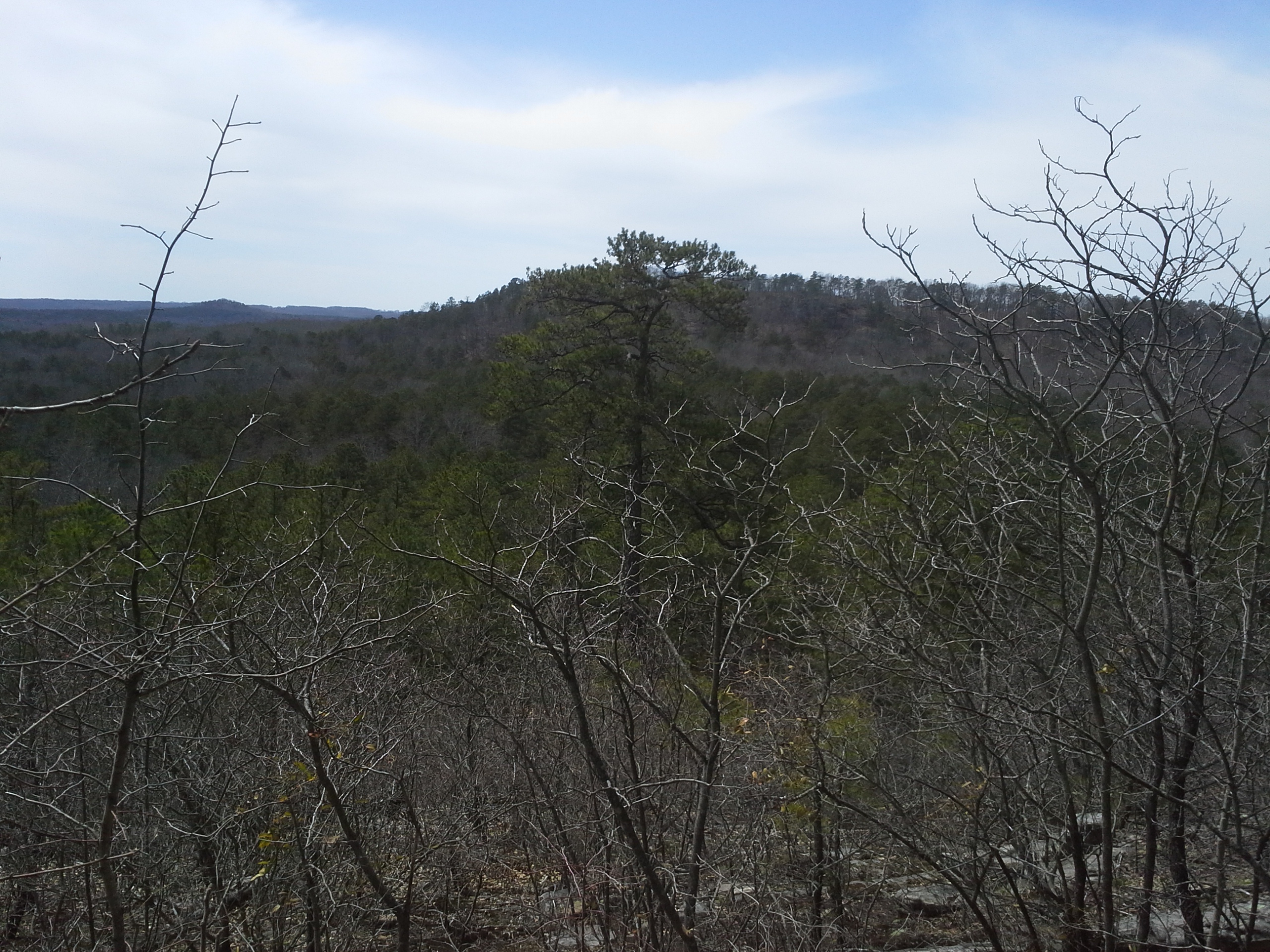
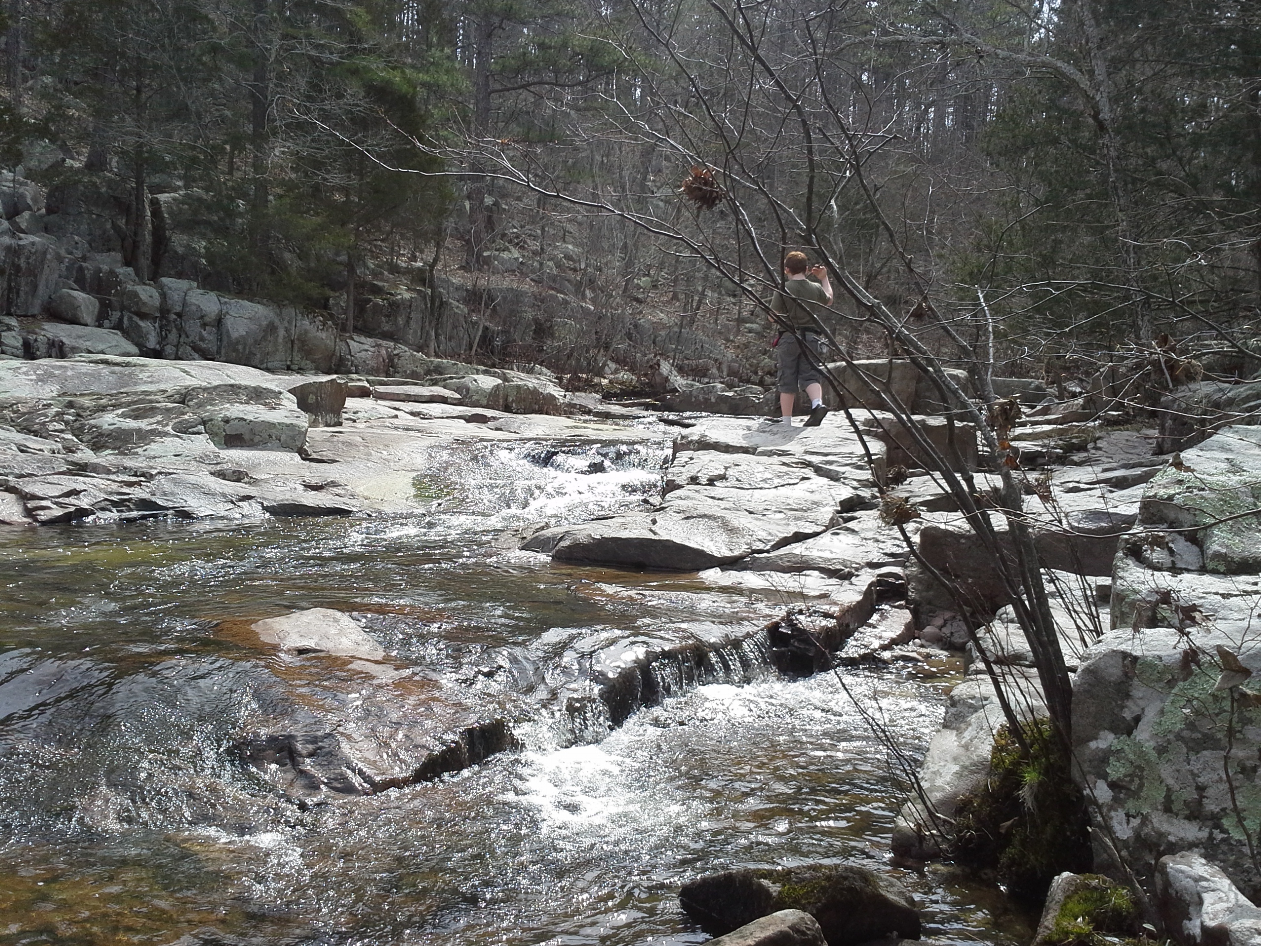
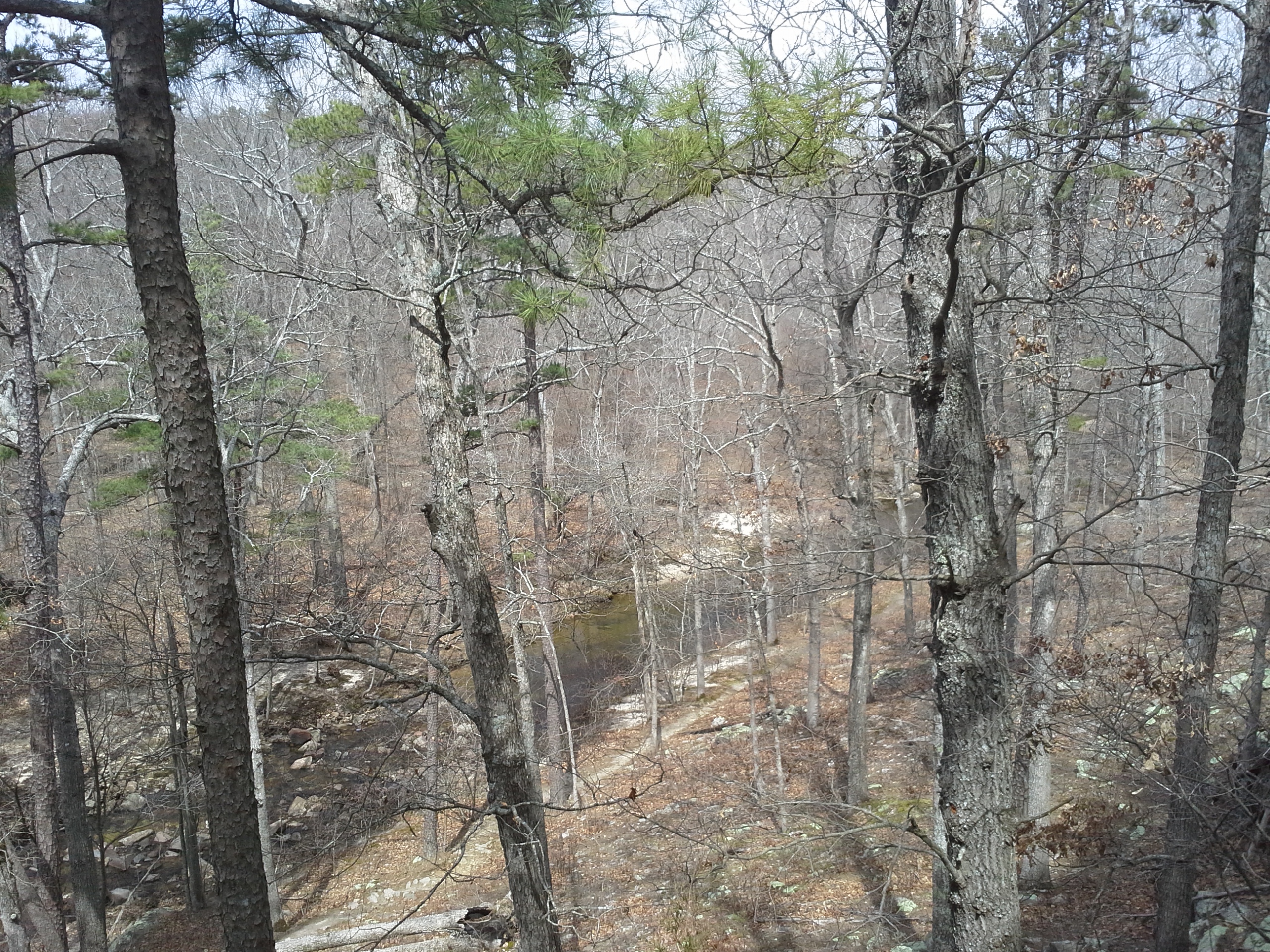
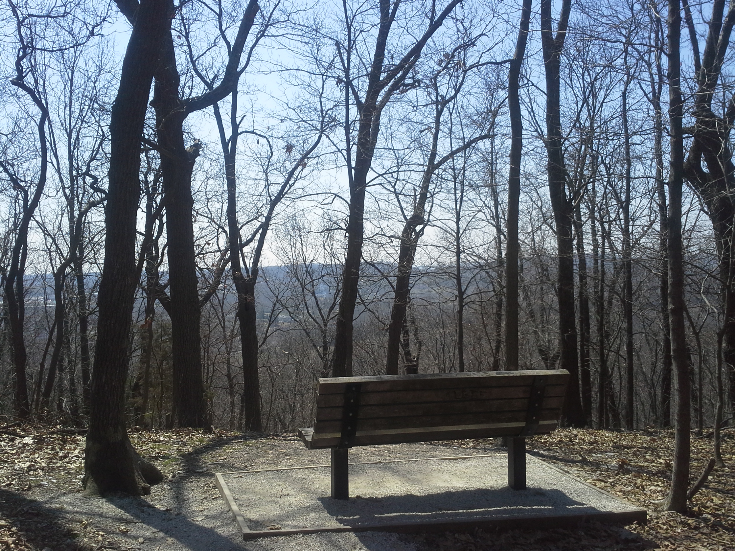
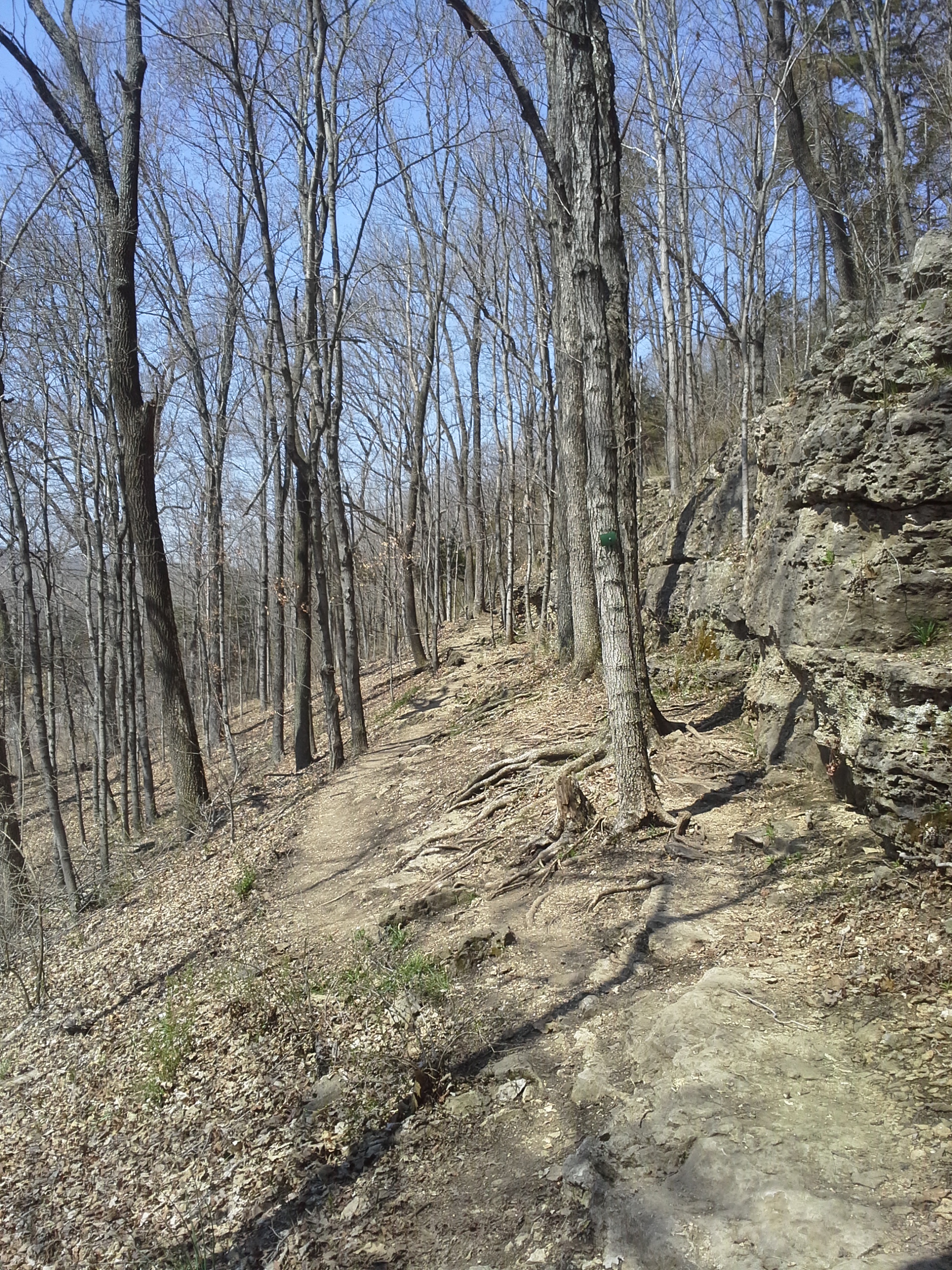
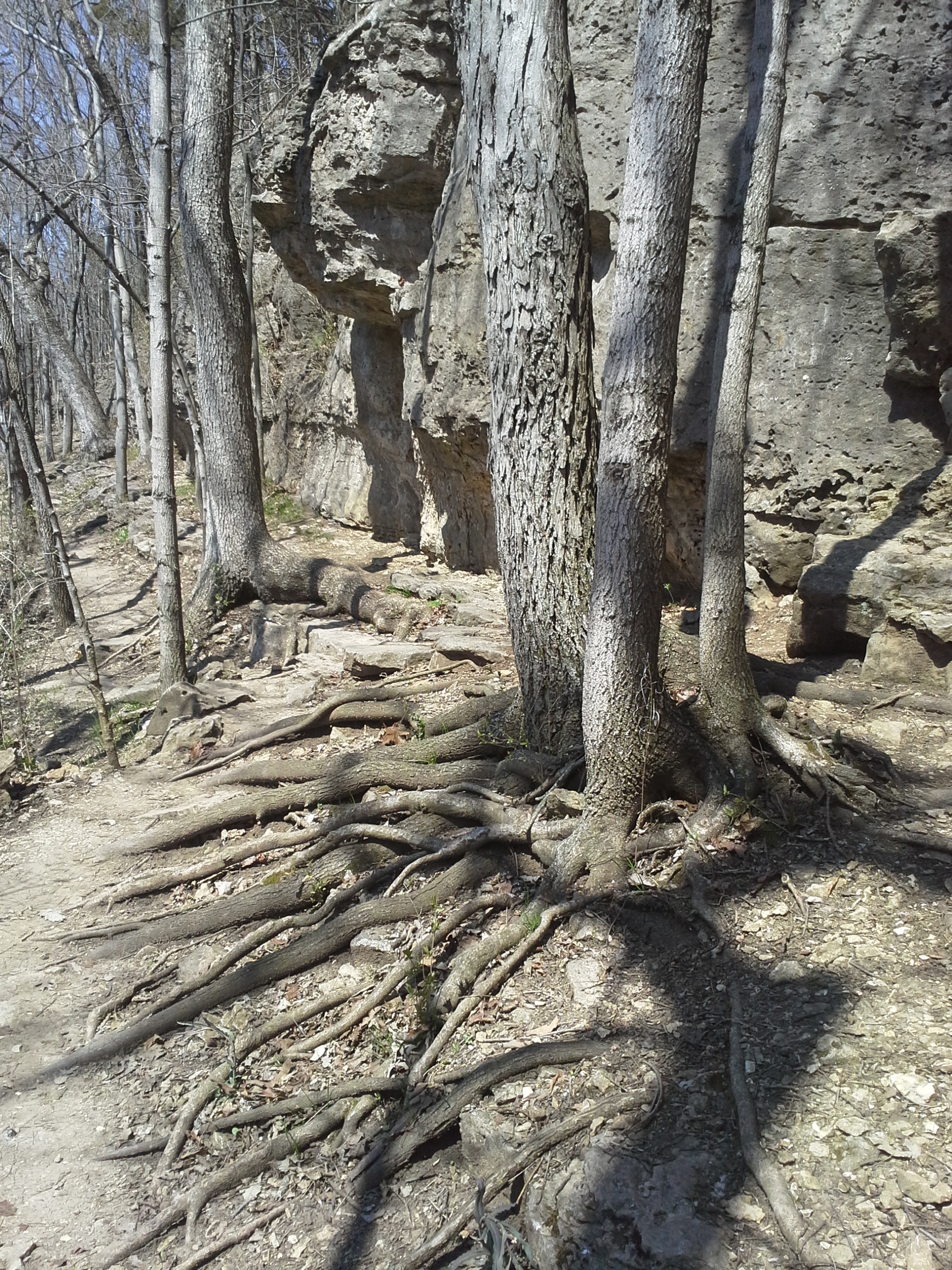
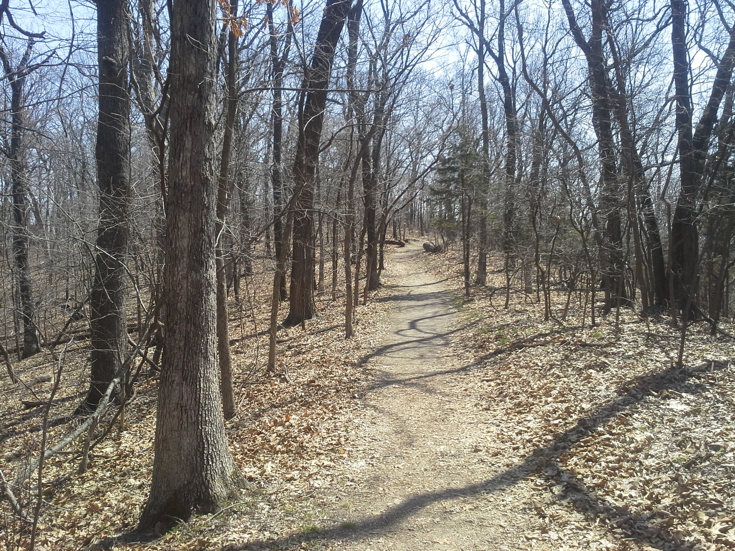
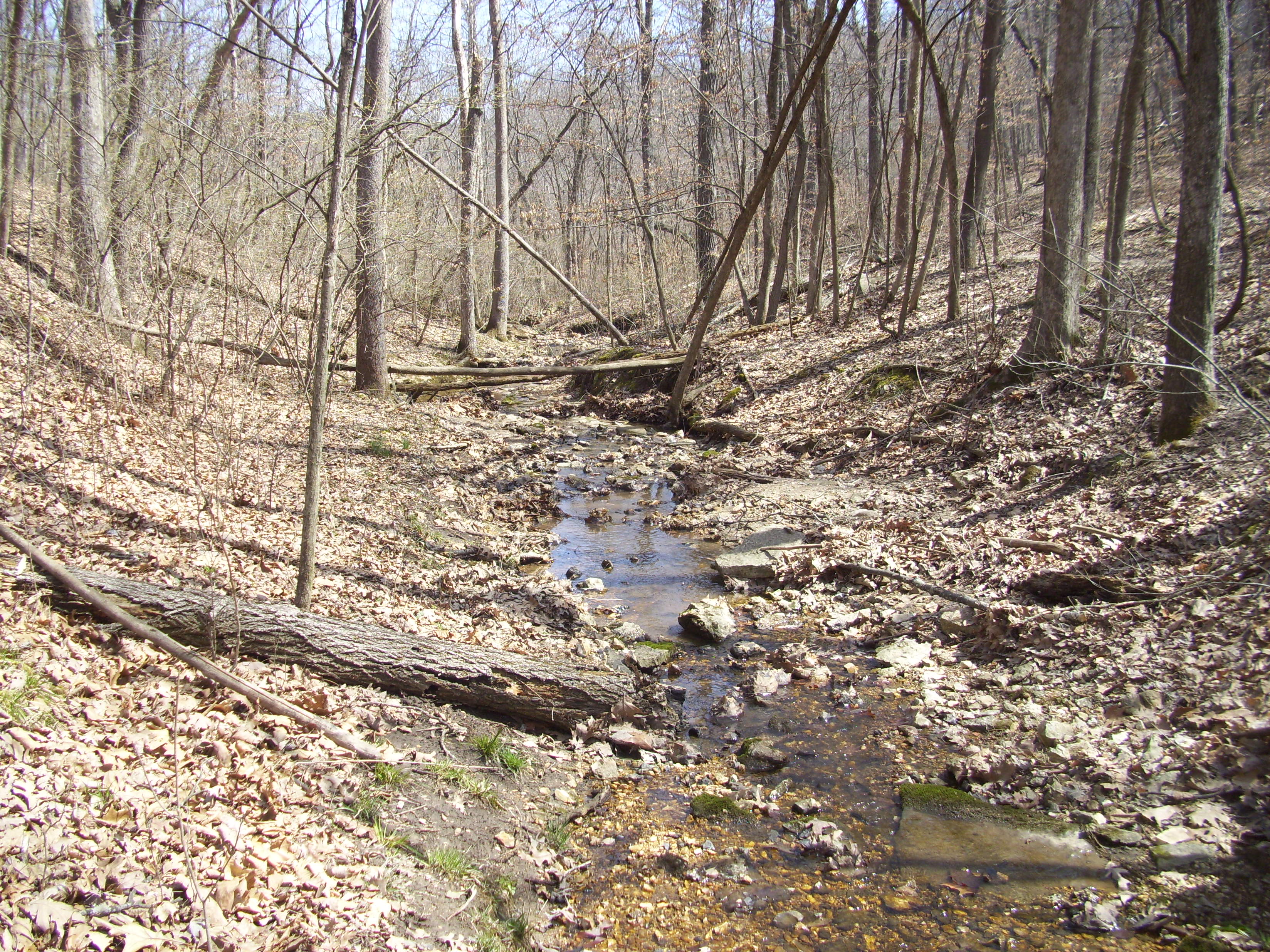
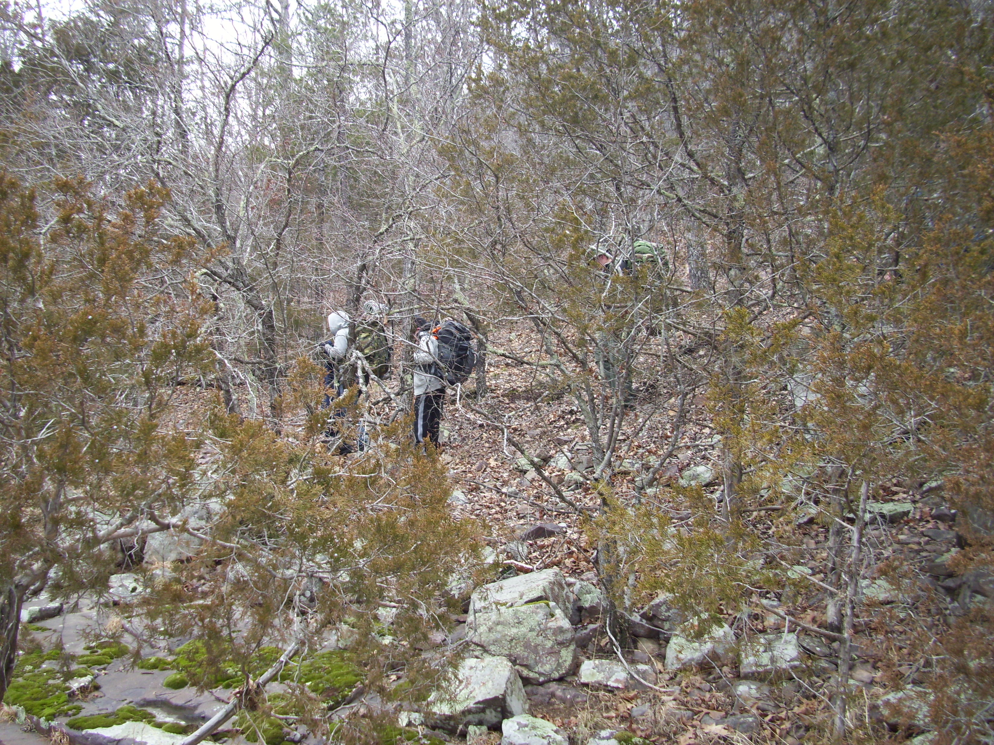
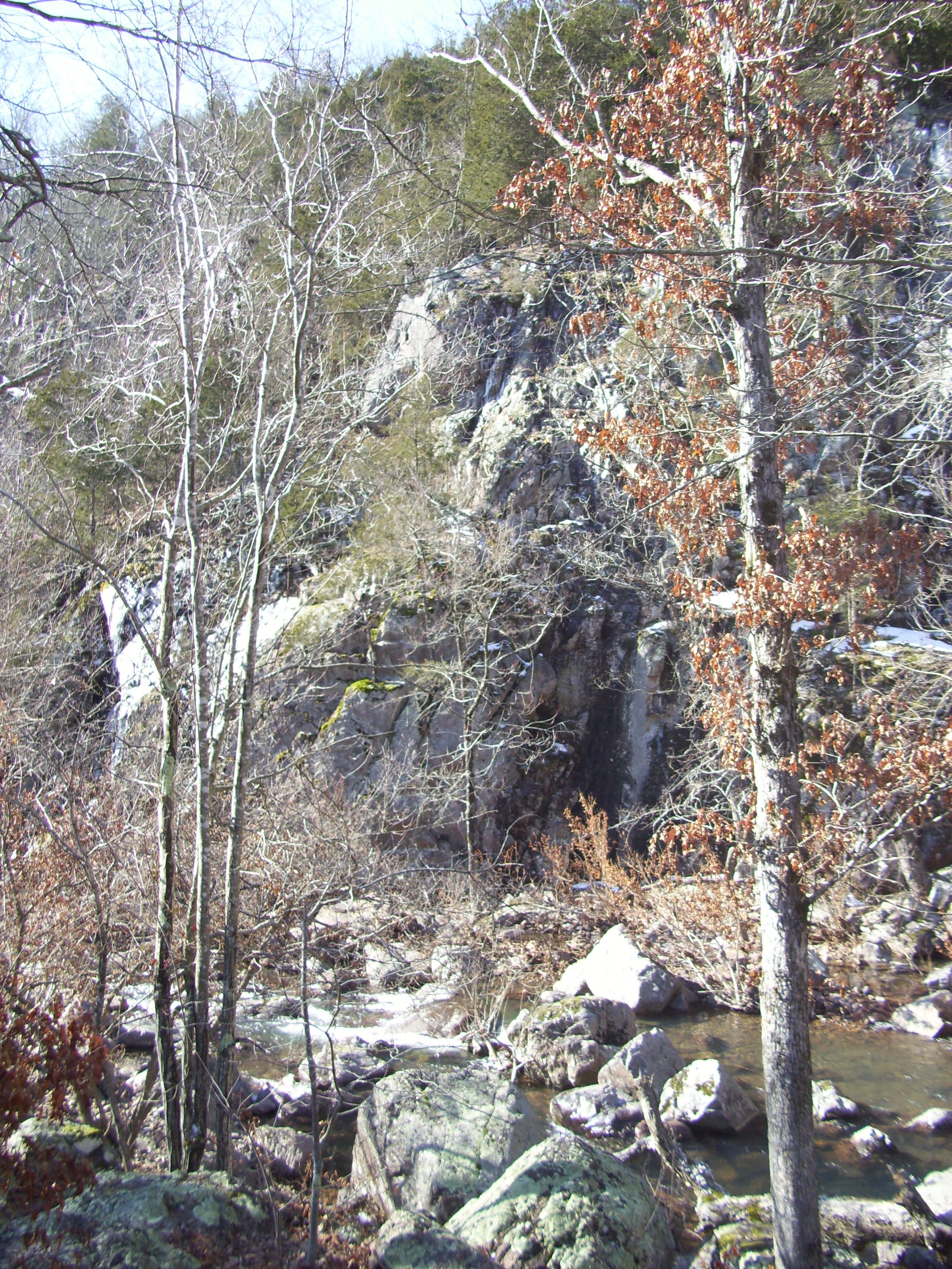
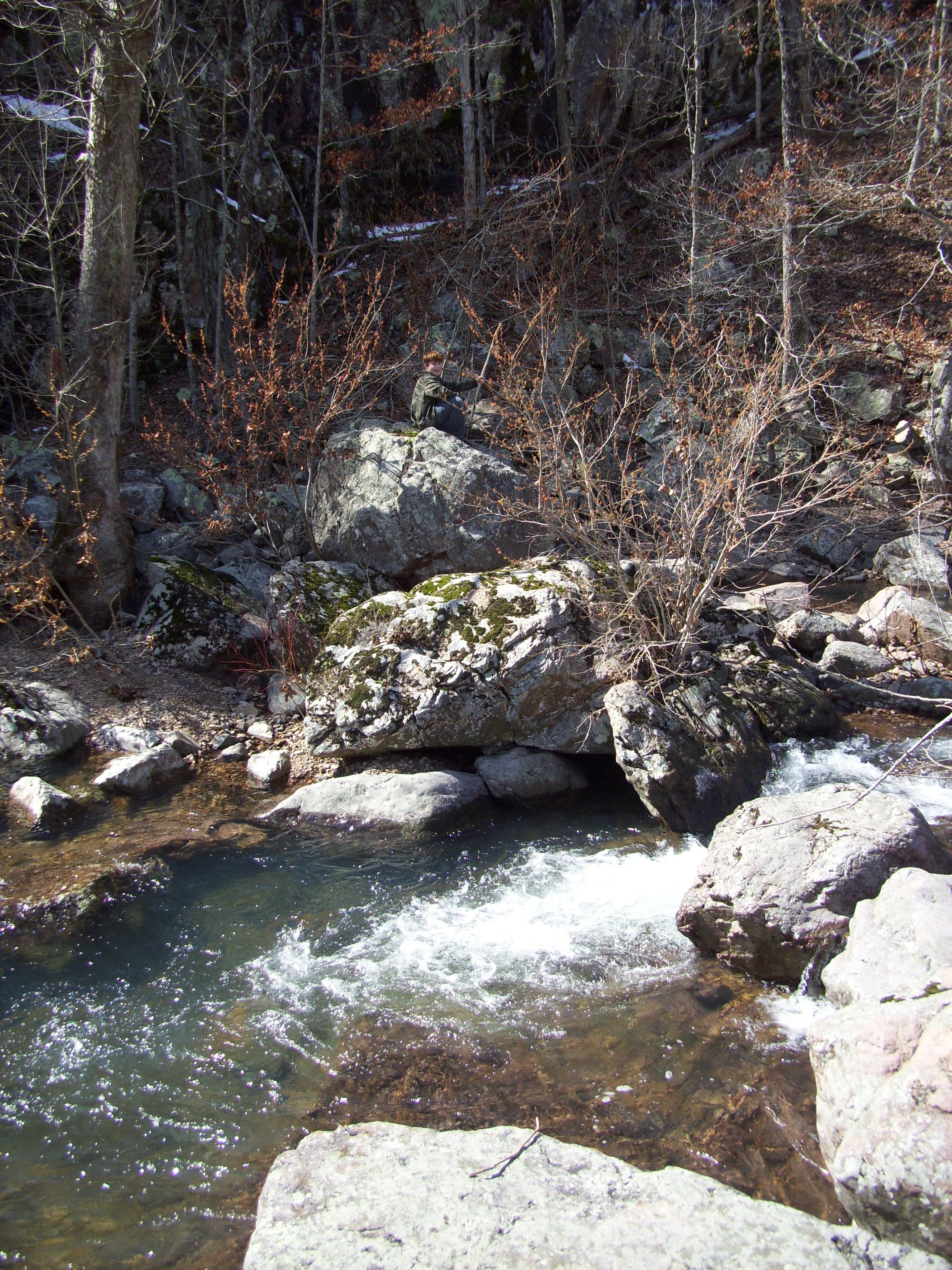
 The trail is just over 3 miles, and it begins with a nice level warm up. After just a bit, it then turns up to the left, and you begin the first long ascent. It will seem to keep going up and up, so take your time and don’t push too hard. You will eventually get there. Once you are up on the top, you will follow the ridge for a ways as it flows up and down and around the hills, with only slight inclines at this point. You will come to a bench that is a good spot for a snack and a rest, and then you start walking the switchbacks on one side of a wide ravine that take you back toward the bottom of the hill. This is where it gets rocky, so take your time and watch your step. It will curve around a point on the hill, and you want to keep an eye out for the white blazes so that you don’t miss the sharp left turn up and over a lower ridge. After it comes around the end of another ravine, the trail then goes into it’s final descent down toward the park road. Soon you will come to where where you will cross the spring, flowing out of the hill right in front of you. Take a moment to just stand there and appreciate the clear, cool water and where it is coming from before you continue on the last stretch of the trail. And then enjoy the last section, after all that hard work, with the creek moving along next to you.
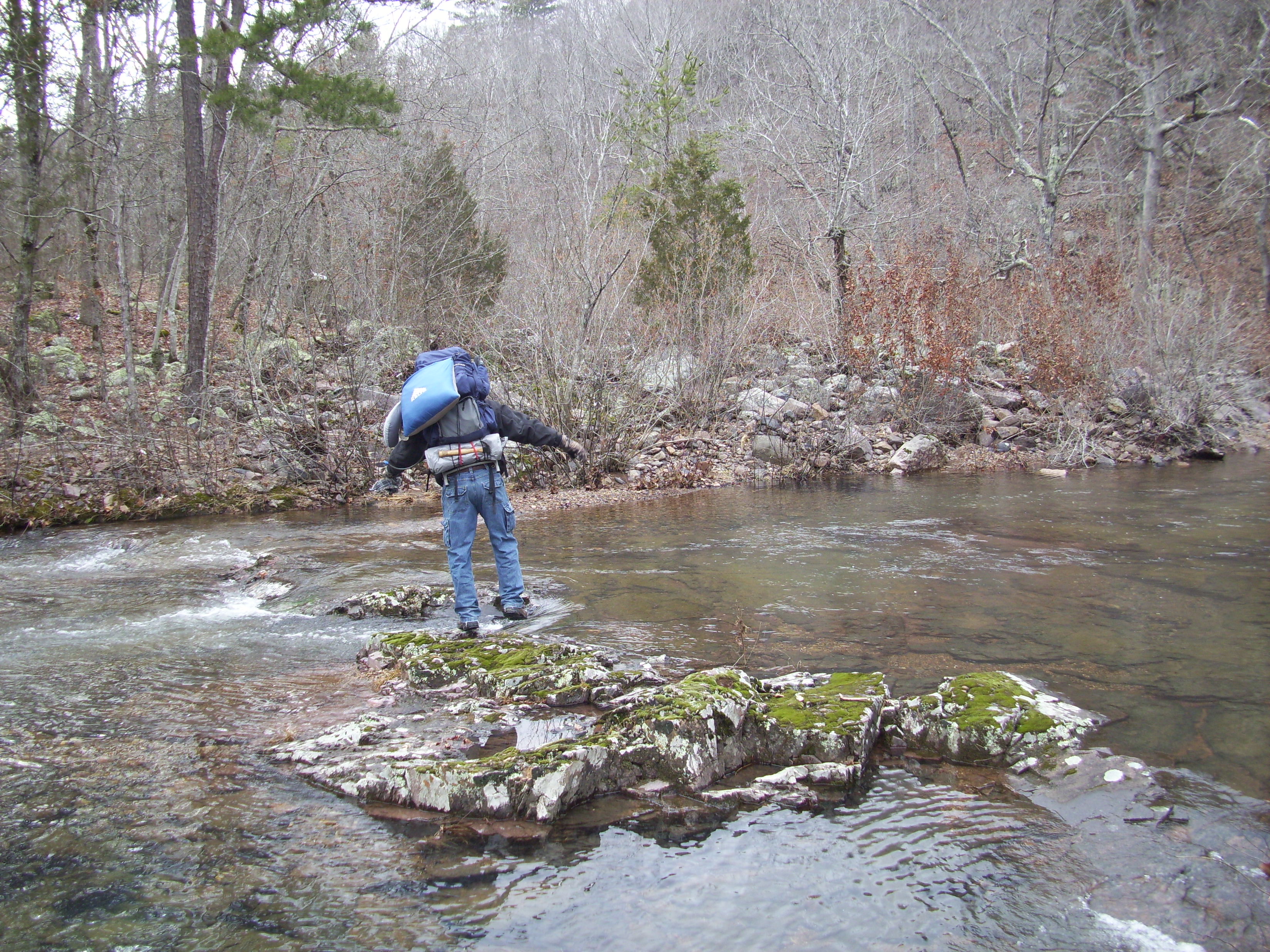
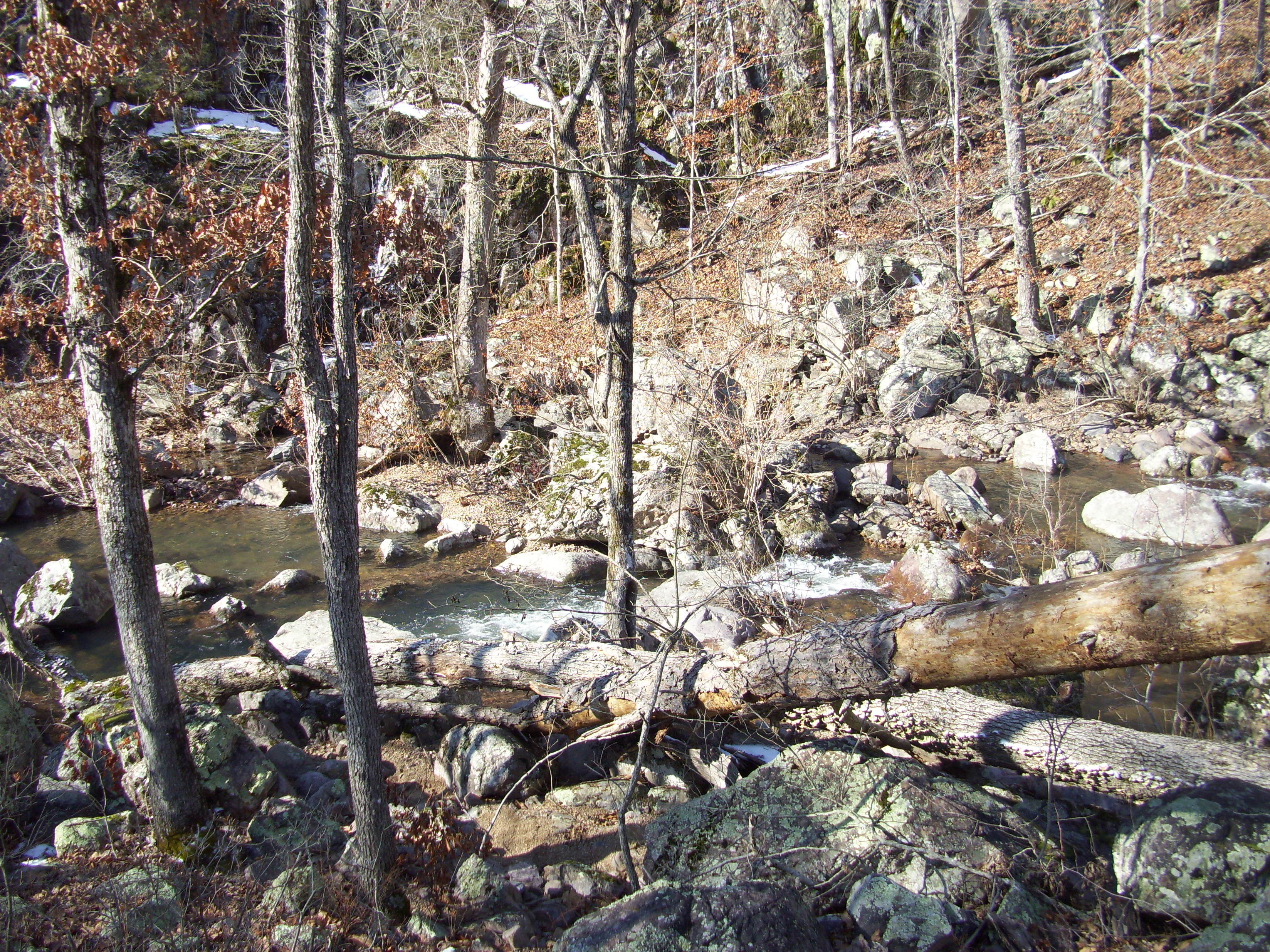
The stepping stones are sometimes submerged.
How to get there:
From 44 and 270, head West on 44 about 15 minutes to Eureka, and get off at 109. Make a right (north) on 109 and take that about 4 miles to Woods Rd. You will know you are getting close when you pass LaSalle Springs Middle School on the right. When you see the Smoky the Bear fire danger sign, make a left on Woods Rd, cross the creek bridge, and then turn right on Glencoe Rd and into the park. The trailhead for the Lime Kiln Trail will be about a quarter mile on the right.
 Why I like this trail:
There is a lot of local history from the 1800s that is interesting to learn about. I never even knew what a lime kiln was until I hiked here. It is a giant furnace, and people who quarried the local limestone would put the rocks in it to heat them up and create lime, which has been used for centuries in many ways, primarily in building and agriculture. You spend enough time in Rockwoods and you will start to see how at one time it was a very industrious and important area.
It is a good challenge. The trail has some long incline areas that are good for the heart and lungs, but it starts and ends with some flat trail so you get to ease in and out of it.
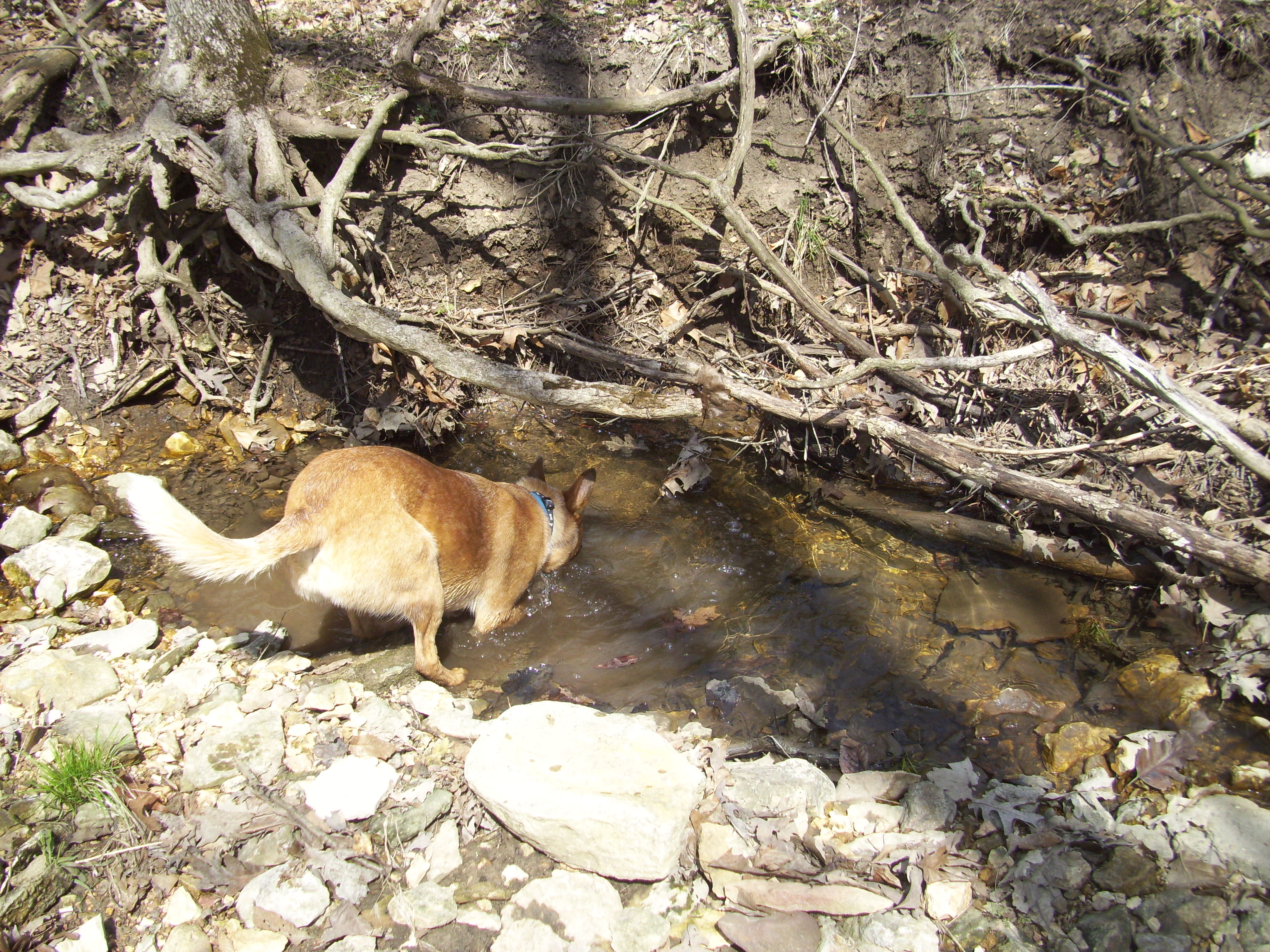
The spring that comes out of the hillside along the bottom, and runs between the trail and the road on the way back. It is crystal clear, and it babbles and flows with you on the last stretch of the trail, after all the hard work.
 What you need to know:
This isn’t the longest trail at Rockwoods, but it is the most difficult. The inclines can be rough at times, depending on the shape you’re in. Take your time, and take a break once in a while. It can make a difference.
Sometimes the spring is flowing too high to cross, and you might have to walk along the road on the last stretch. People driving through there seem to be pretty conscientious, but couple car traffic with the occasional bike traffic and YOUR foot traffic, and it makes for some close maneuvering.
The rocky section of the trail has a lot of spots to plant a foot and twist an ankle. This is a rugged trail, so watch your step.
 If you have never been to Rockwoods Reservation, go! Right now! Okay…go this weekend. It is a great area to spend time in with a lot to see and learn about. I have been going here for years, since I was a kid, and I still love it every time. The best part is that now I can share it with MY children!
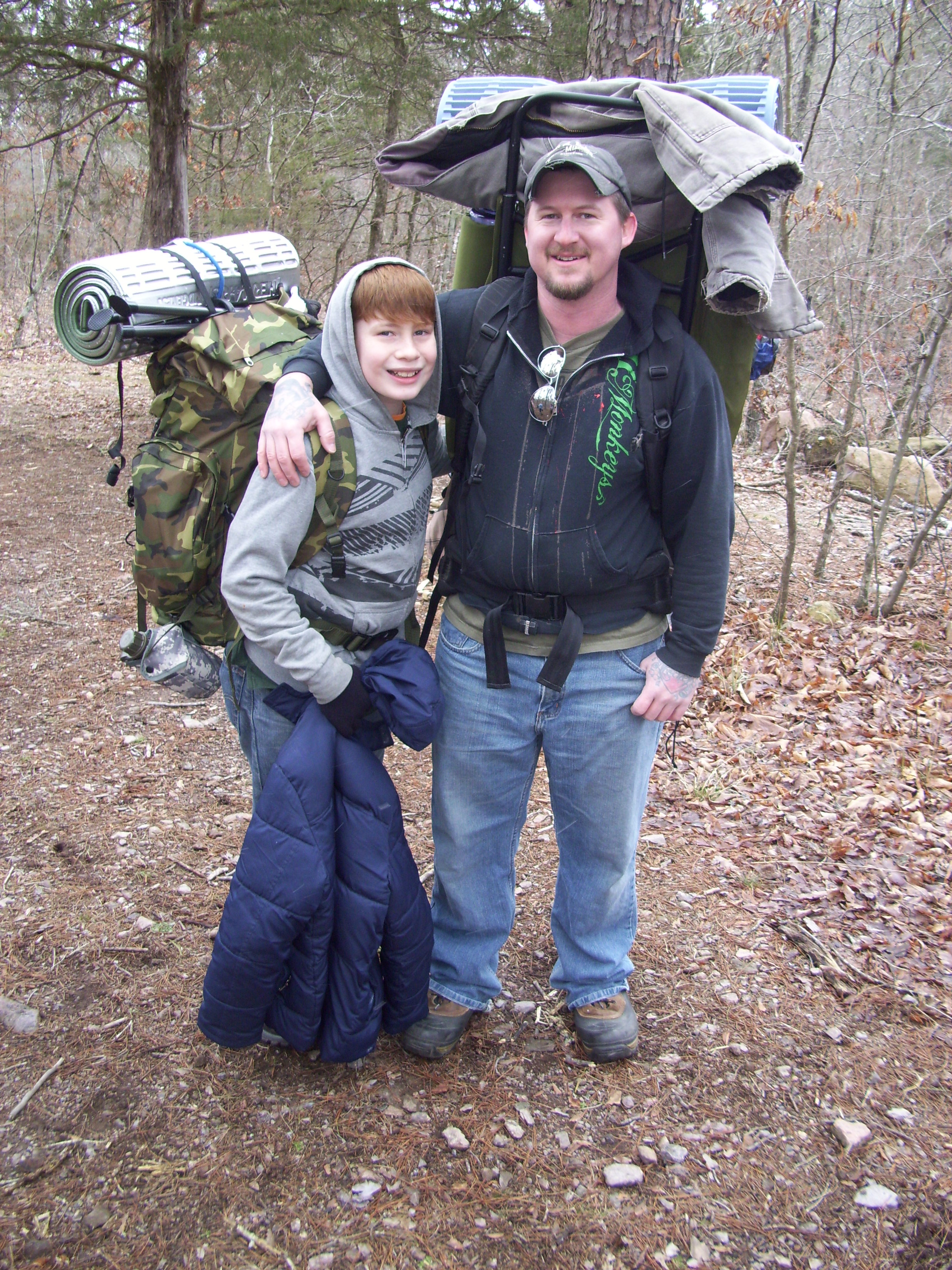
Beth, Josie, Paul, Mak, and my son Eli.
It was one of those mornings that was really working hard to be warm. I wanted to get out in the woods with my son Eli and Max (the hiking dog), and my friends Paul and Beth and their girls, and I had my heart set on checking out the Castlewood Loop, just off of the Chubb Trail. We got to the trailhead, up the hill off of 44 right past the entrances to the World Bird Sanctuary and Lone Elk Park at about 11:00 am, and the sun was high in the sky trying to convince the chilly air and the light breeze that it ought to be a warm day.
The Chubb Trail is a 7 mile trail that runs from West Tyson County Park out toward the Meramec River, and then turns east and moves through the flood plains and then up a hill to Lone Elk County Park. Adjacent to the Chubb are a couple of other trails along the way, and today we were going to hike the almost 3 mile Castlewood Loop, flood water permitting.
From the Lone Elk trailhead, it’s about a mile and a half to the Castlewood Loop. You follow the ridge road just a bit before the trail veers off and down to the left, and you make your way on a pretty healthy incline down to the flatlands at the base of the surrounding hills. At the bottom you follow what was at the time a moist and splashing flat run, parallel with the railroad tracks for quite a ways, until you eventually turn right and cross them. Soon after the crossing, the Chubb continues to the left and on to West Tyson, and the Castlewood Loop is either straight or right, depending on your choice of direction.
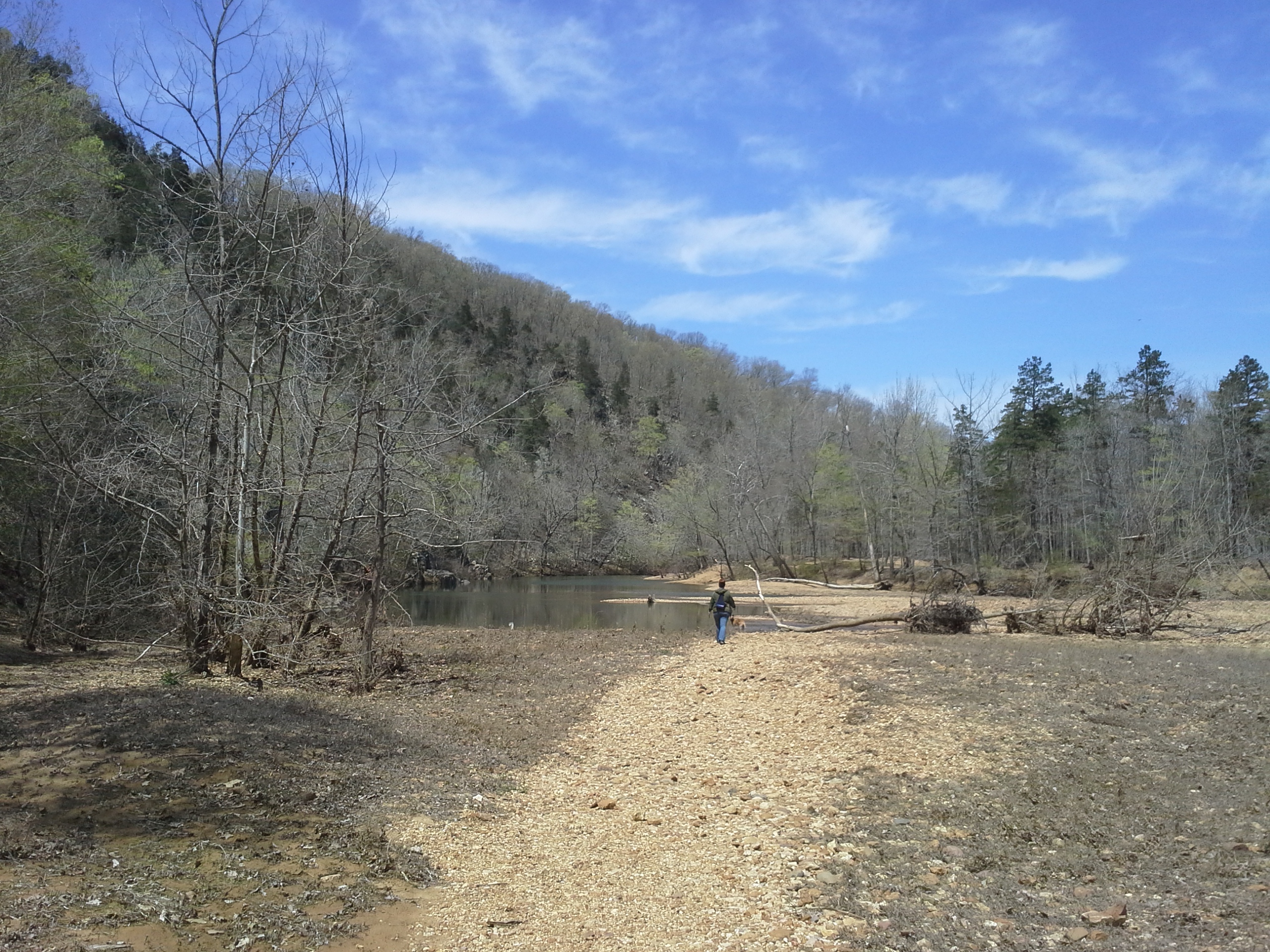
Once you get onto the Castlewood Loop, the trail takes on the look of the floodplain. Swampy, open brush areas littered with washed up logs and scattered piles of swept-in sticks. The forest floor was a vibrant green though, with the spring grasses fighting for dominance in the rich, muddy soil. It then opens up to a wide prairie area, with a treeline obscuring the river up ahead, just below the bluffs on the other side. The muddy soil turns to sand eventually, and it was soon after this point that out path was blocked by the subtle and immense overrun of the Meramec River. Looks like this was the end of the road.
 So we stopped for a bit and appreciated the power of the weather and rivers to change the course of things, and pondered the lives of the people who live in the mansions up on the bluffs on the other side. The Meramec, like all decent sized rivers, has a wide reach when given the opportunity. I like to practice the belief that the width of flood plains and river valleys across the landscape is a clear sign that it is the river that truly owns the land, and bends it to it’s will.
We had our snack, after probably 2 miles from where we started, and then turned around and made our way back into the woods and up the trail the way we came. On our way back, after crossing the train tracks, we saw two groups of deer at different points bound across the trail and into the woods on the Lone Elk side, the final little deer standing for a second in the trail about 50 yards ahead of us, taunting Max with his gaze and fluttering little tail. I would have loved to catch some pictures, but you can’t stage fleeting encounters like that.

We got to the base of the hill and made our way up it with fairly little complaining, regardless of the steepness, and got back to the car a little after 1:00. The air had warmed and though we didn’t get to complete the loop, it was a good four miles of quality time spent in the woods with some good people. I am looking forward to hiking this again once the waters recede.
“I want to see this guy and tortured and killed.”
I have seen people say this and make reference to people saying this, on this morning of the Boston Lockdown. Social media opens up so many connections and avenues, and you get to peruse so many thoughts and statements from people you do and don’t personally know. You get to read their moments of joy and grief, enlightenment and mundanity. You get a glimpse of their personalities, and you sometimes get to see the collective darkness of humanity, as though a dim grey fog is populating the computer screen while you scroll down the feed. It happens now and then, and It isn’t unwarranted. Things are tough for a lot of us right now. Unemployment. Sickness. Struggle. And on a morning like this, I see it, and clearly understand the weather that has brought it.
I remember a morning about eleven and a half years ago, one day in September. I was at my job at a music store in a mall in St. Louis, before all of this connectivity, and we were watching the American story change on the TV in front of us. It was a horrible day. Awful things had been done to people not deserving of it. Evil people had made decisions that resulted in the deaths of innocents that had nothing to do with the vengeance and anger and treachery involved. It should not have happened and it should never happen.
Panic. Horror. Anger.
“We need to go find the guys involved in this and make them pay.”
“We ought to let the victim’s families beat the shit out of these assholes when they catch them.”
“I hope they are caught alive so that they can be tortured and killed.”
I heard it that morning, and I have been seeing it this morning. We are an ugly creature and times like this bring out the worst in us.
And I can understand the feelings of people that are expressing this ugliness. It exists in me as well. I am an American, and a human too. I wish for things like this to never happen, but they still do. I pray for a world without mornings like this, but we still wake up to them. And I hate seeing people I don’t even know being harmed by the choices of evil men.
But not torture. And not anger. These are not the solution to problems like this. This ugliness in our nature is exactly the cause of mornings like this. Violence perpetuates and intensifies violence. Vengeance is destruction for destruction. It is a grand cycle of violent abuse that leads to nothing constructive. And in reality, it makes no one feel better, no matter how much you claim it will. It will always come back to the choice you made, and it will crush you in time.
I see the ugliness and understand it’s mechanics, and I know that no matter how much we sometimes want it to stop, we will never be free of it completely. We are a flawed reactionary animal that is imperfect in our nature, no matter what holy men tell you. We were given this chance to experience this reality as a blessing, and we weren’t given an Eden to dwell in so that life is kept interesting. So that the possibility for challenge and struggle allows us to keep from wasting this amazing fraction of a moment that we exist in the universe. So that we appreciate this “blink of an eye”. And for me, the goal of being here is about accepting my reality and searching for the path to get as close as we can to perfection, even though we will never completely reach it.
And I know that is God’s hope for us. That is what this Earth’s plan is for us. That is how the Universe needs us to live.
And until we can see that path and walk it, we are no better than the worst things in us.
So I thank the Creator and Jesus and Science and Order that cooler heads will prevail and that we have laws that create a humane structure to our reaction to such historical moments. And I do pray that justice will be done.
And I ask you to capture this moment and remember it so that you can examine the hate you feel and your need for revenge. And I ask you to let it go. And pray for all people, including those who did this, that they will find peace in the arms of whatever spiritual or earthly thing you believe in. These souls are already tortured, and as many of them made awful decisions in life, so have we. And none of us are without ugliness.
Love all the people,
Gabe
 One of my favorite ways to spend time when I am out in the woods, after the hiking and fishing and campfire communing and the general appreciating of the holiness and beauty of nature has been accomplished…is to drive around in areas and on roads I have not yet traveled to see what I can discover. New swimming holes, good fishing spots, trails I have come to love, new places to spend a day and night surrounded by nature. There are a lot of memories and cherished places I would not know of, had it not been for that moment when I couldn’t sit in a chair at the camp site anymore and just relax as the afternoon ticked gently past. This adventuring off the expected path is something that I usually try to reserve for the car ride home, after we have said goodbye to our most recent campsite, and it almost always begins the plans for the next excursion.

On this past weekend’s visit to Sam A. Baker State Park, as we were driving north toward home with the realization that we had the freedom to stay another night in the woods if we wanted to, I checked the map and decided that it was time for a detour to unfamiliar places. And THAT is how we discovered the hidden treasure that is the Marble Creek Campground. Now, where it is generally isn’t an area that is new to me. It’s just farther down a familiar road than I have previously driven, about 2 hours south from St. Louis, and to the west of Fredericktown on State Highway E (probably in the range of 15 to 20 miles). Pretty much the same natural area and forest as Lower Rock Creek, but much closer to a road.

It is a Mark Twain National Forest recreation area and campground. It has picnic areas, creek access, and there are 26 campsites ranging between $10 to $20 a night, depending on the size of the site you choose. It is a self-pay, unattended campground, but we did see a ranger drive through at least once in the evening while we were there.
How to get there:
Take Interstate 55 south to 67 south. Stay on 67 south all the way to and just past Fredericktown, MO to State Highway E. Take E west (right) about 15 or 20 miles. It will eventually be on your right with a clear and visible entrance sign.

Why I like this campground:
Marble Creek. Y’know, the whole “Water Feature” aspect that I love. Marble Creek is a broad, lively, exposed rock creek that looks like a lot of fun to play in on a hot day, and is home to little, aggressive sunfish and smallmouth bass, just waiting to wrestle with your fishing line. It wraps around the far side of the campground loop, right behind some of the nicest, most secluded camp sites that I’ve ever seen. We were on site 13, and it was probably 100 feet from our picnic table down to a wide rock just above the creek that provided a great place to cast a line. And then to hear it’s gurgling and popping throughout the evening created a pleasant atmosphere while we sat by the fire. Marble Creek is the reason to camp here, and it is a great reason.

Whereas the sites in the front of the park are more open and exposed, the ones around the back side of the loop offer a bit more seclusion and reasonable privacy, so you can have it either way depending on your mood.
What you need to know:
There is no shower house and no running water, other than the creek. There are vault toilets, but I don’t know that I would stay more than a couple nights here. I certainly don’t mind nature getting on me, but a shower in the afternoon after a good hike or an active fishing session or playing in the creek is always refreshing.
There is no playground. Now I know, “But Gabe, you have NATURE to play in! Come on, there’s a CREEK with rocks and everything!” This is true, but a playground offers the kids someplace more centralized to go spend time at when they’re done with looking for turtles and sticks.
No firewood shed. We were the only people camping there that night, so we just drove the loop and collected “left” firewood, but I can imagine if it is a busy weekend later in the summer, collectable firewood is probably more scarce.

All in all, I was pretty tickled finding such a neat little campground that I had never been to before. This place is a gem, surrounded by some great natural areas, and I am looking forward to taking the family there as the summer warms up so that we can spend the weekend playing in Marble Creek.
 So if you know me, you know that I have a lot of history with this state park. I have been coming to Sam A. Baker for half my life. I have stayed in both campgrounds. I have slept in the hiking shelters up on the mountain, and once at one of the cabins. I have sat at the top of the stairs of the fire tower on the cap of Mudlick Mountain, bracing against the wind on a night that the trees below me were coming to life in an ancient, violent dance. I have hiked the Mudlick Trail, overnight with a pack on my shoulders. I’ve eaten frog legs in the Lodge’s all you can eat fish buffet. I’ve witnessed a massive tree plunge down the hill along one of its trails, roots finally giving way as it made its last affirming shout at existence, with the air smelling of soil and life. I’ve sprained my ankle, and had to walk out through immense pain, while being soaked to my skin in the cold rain of early spring. I asked the woman in my life to marry me, in front of my family and friends, at our favorite site there.

I have a connection to this park. And I have an unexplainable rapport with the life force of the mountain that is it’s centerpiece. So bear with me while I attempt to avoid being overly dramatic in convincing you why you should consider it when making plans to camp someplace this year.
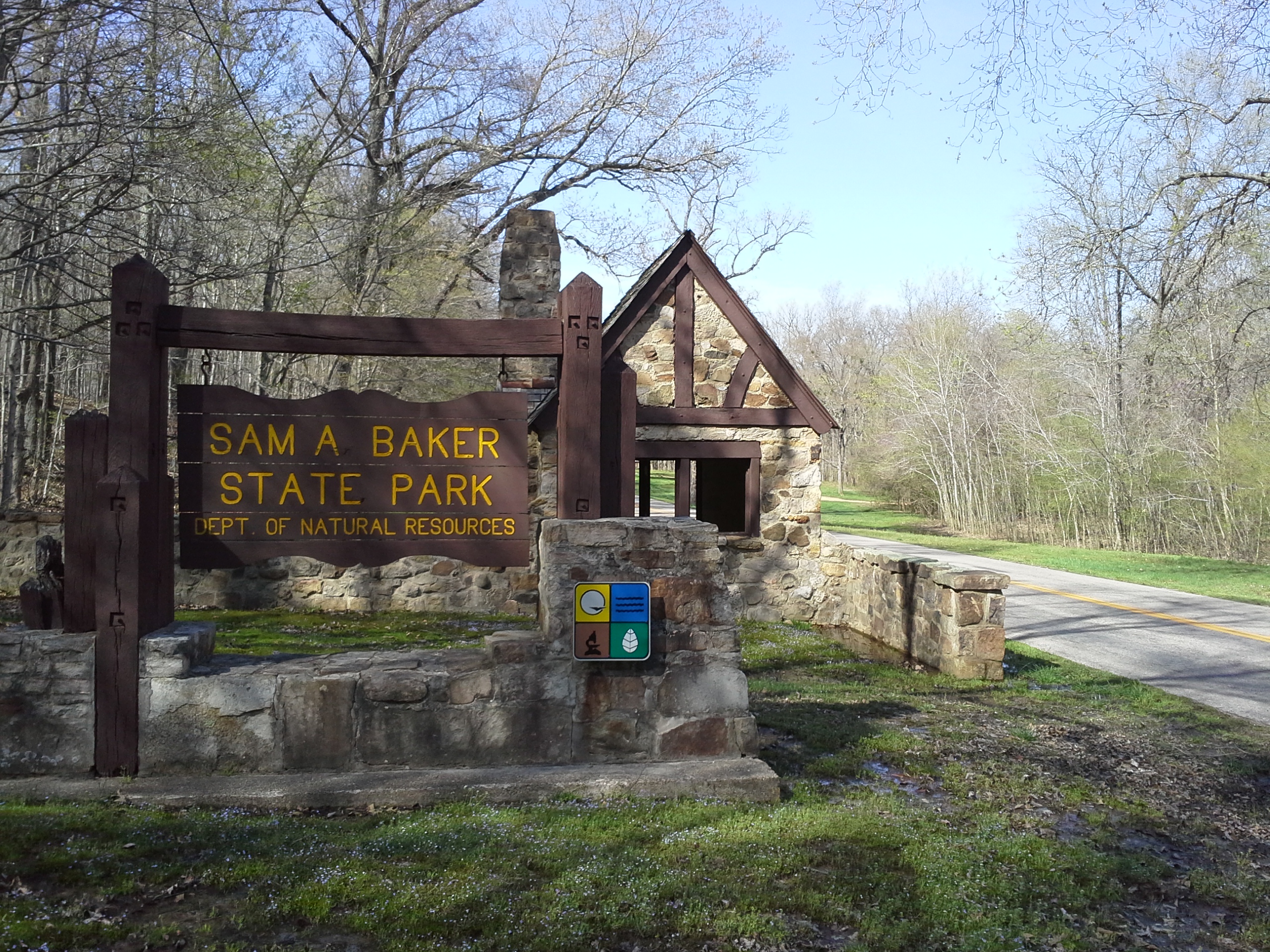
Sam A. Baker State Park is named after a former Missouri Governor, who during his single term in office in the mid 1920s, was instrumental in the evolution of our state park system. Sam A. Baker State Park was dedicated in 1927 and is almost 6000 acres of natural area in the St. Francois Mountain Range, situated near the town of Patterson, MO, the former Governor’s hometown.
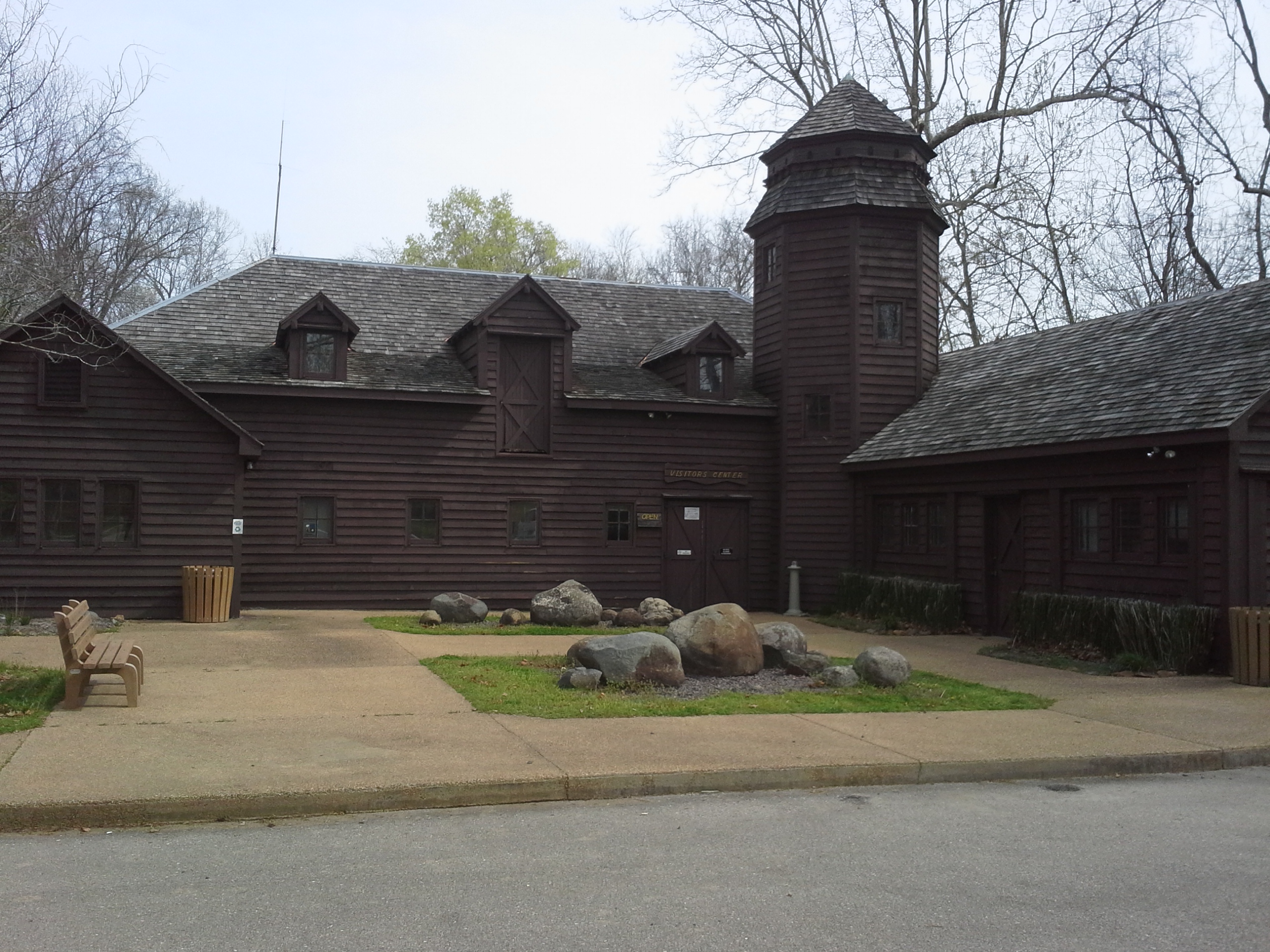
In the 1930s, most of the facilities in the park were built by the Civilian Conservation Corps, one of the parts of President Franklin Roosevelt’s initiative to get people back to work in America after the great depression. Many of those structures still stand as the majority of buildings in the park, including most of the Cabins, the Lodge, the Hiking Shelters, and the Visitor’s Center (which was originally a barn with a hay loft). When visiting these places, it is with a reverence that we should appreciate their history, and a thankfulness for their durability as they continue to stand as viable and used structures in the park.
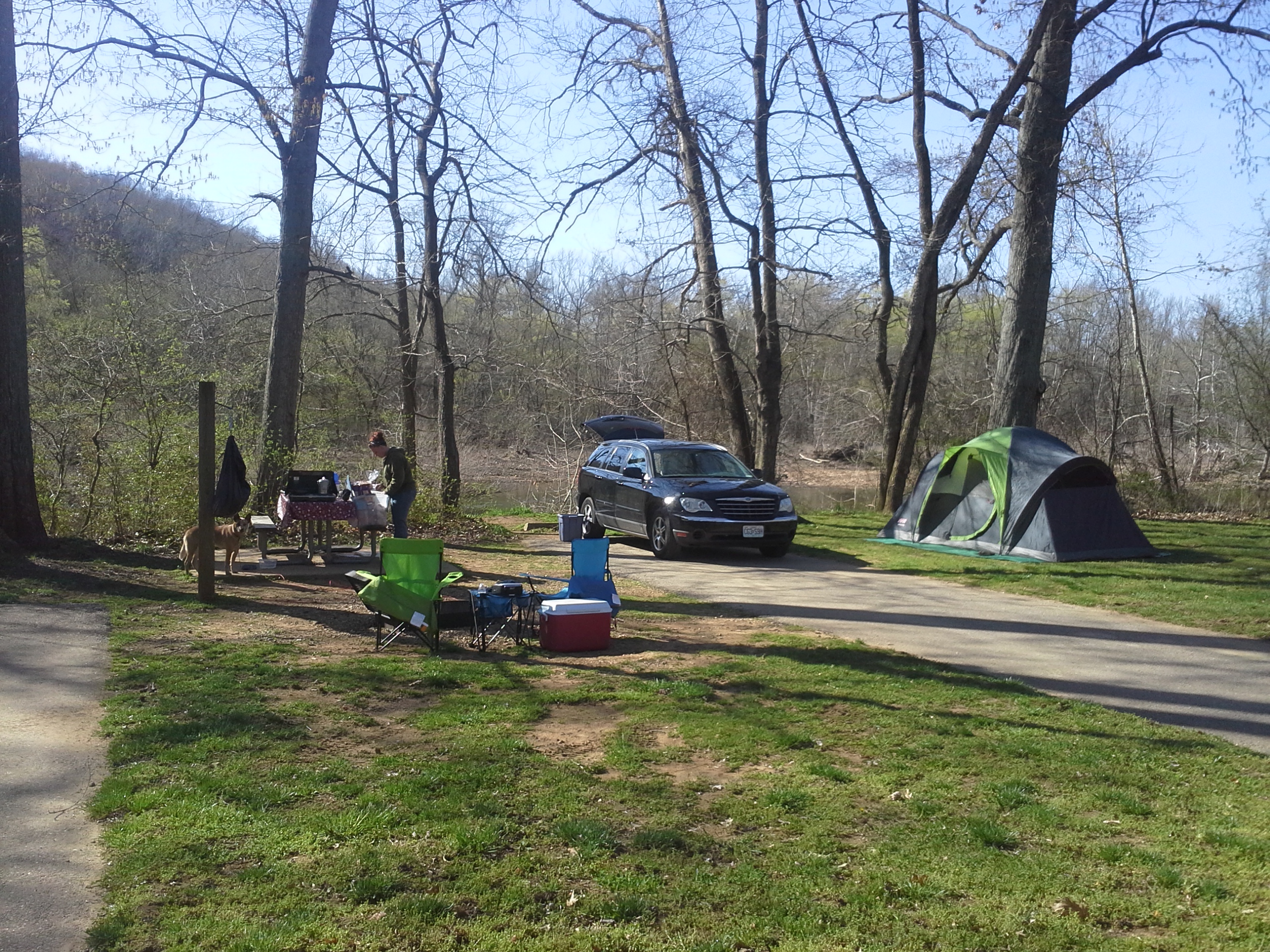
The park has three campgrounds. Campground 1 is on the southern end of the park and is adjacent to the St. Francois River access. It has 119 sites, and is open from May through October.
Campground 2 is closer to the recreational center of the park, has 101 sites, and is open year-round. It is bordered on its east side by the Big Creek. This is where we usually stay, on site 156. It is at the southern end of campsite loop and backs right up against the Big Creek. This is where I asked Melissa to marry me.
The third area is an Equestrian Campground that has 21 sites and is open from March through November.
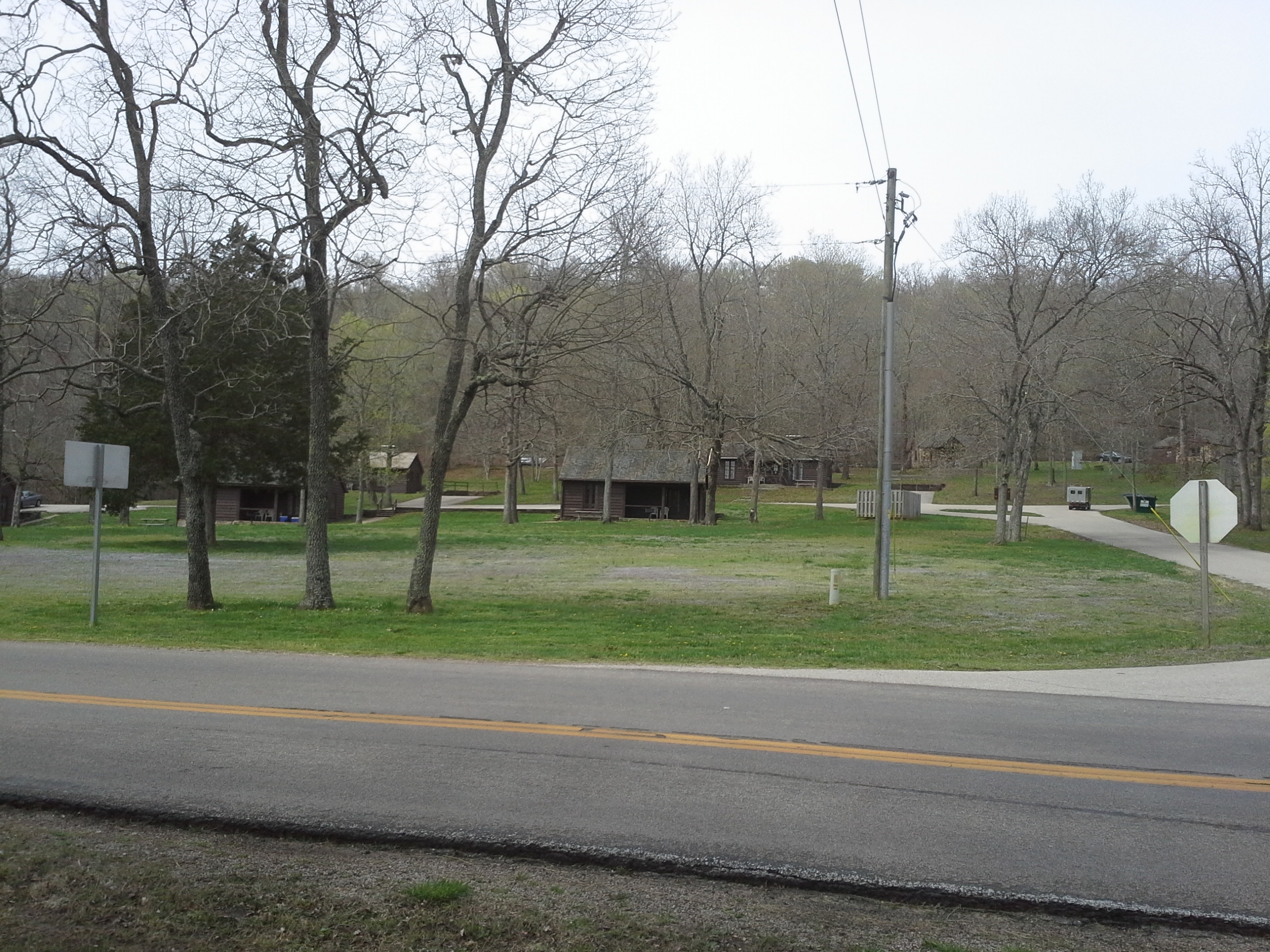
The park also has 18 Cabins, most of which were built in the 1930s, but have heating, air-conditioning, kitchens, and full baths…if you prefer to stay in a more civilized fashion.
Of the other buildings in the park, there is a Visitor’s Center which houses a lot of cool information about the park and the nature and history all around it. Behind the Visitor’s Center is the access and recreation area for the Big Creek. This is great area to be spending time in on those blazing hot Missouri summer days, if you aren’t already heading down the St. Francois River on a canoe.
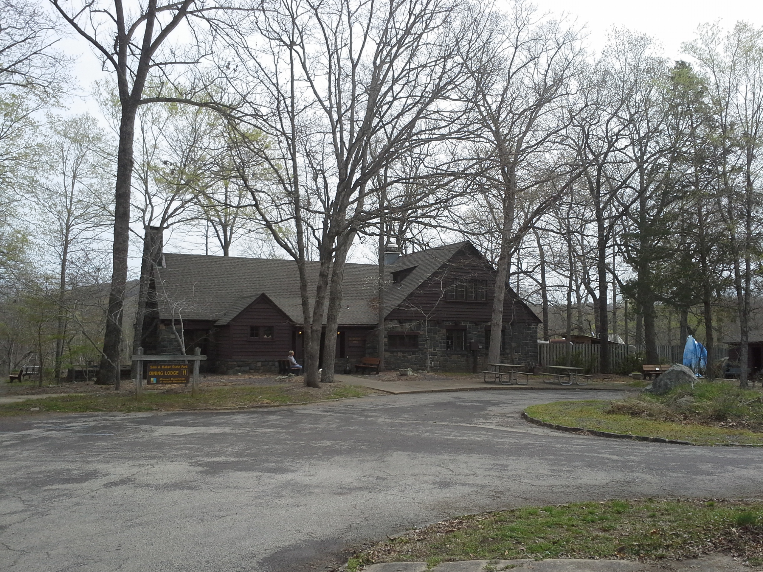
There is also a Dining Lodge that is a great place to eat if you just don’t feel like cooking your own meal. I could be wrong, but last I knew, they had an all you can eat fish buffet on Friday nights. Deeeelicious!
And there is a park store, where I guarantee you they will have that thing that you forgot, and a lot more. Once I needed oil for my car and they had it. Check out all the cool Sam A. Baker stuff they have for sale, and pick something up to remember your visit (this is where I bought my FAVORITE HAT from!)
There are a couple trails at Sam A. Baker, the primary one being the Mudlick Trail, which is about 12 miles around the mountain. Most of this trail is for hiking and equestrian use, but the section that follows the Big Creek past the hiking shelters is for hikers only. It is 1.7 miles from the trail head to the first hiking shelter, and it is worth the walk to see the view (AND to see where I have stayed a handful of times AND to see the stupid rock that severely injured my left ankle!).
The Shut-Ins Trail is the other one in the park that you ought to check out. This one heads straight along the northeastern border of the mountain through the bottoms, parallel with the Big Creek to a beach area. This trail is about 1 and a half miles from point to point, and if you feel up to it you can hike up the mountain to the first hiking shelter, from the point right before it exits the forest out onto the beach at the end.

This post will never be satisfying for me, no matter how long I go on here relaying information and stories about this place. It has a lot more to explore and see and do that I haven’t even mentioned. And there is personally too much for me there to recount, externally and internally, so I will just say that I love this mountain and I love this park. It is one of my favorite places to spend time, and you should check it out. I hope that you do, and that you get to see why it’s such a great place.
 It was supposed to be a nice weekend, this first one of April, and I knew that I had to get out onto a more substantial trail. The Whispering Pines Trail was the perfect choice!
How to get there: Hawn State Park is to the west of St. Genevieve, MO and east of Farmington, MO, off of highway 32 that runs between them. About an hour south of St. Louis, you take interstate 55 to MO 32. Head west (right) on 32 and after 8 to 10 miles, you will make a left on MO 144. You will be on 144 for about 4 miles, and it will take you right into the park.
Tony, Mindy, and Billie the hiking dog.
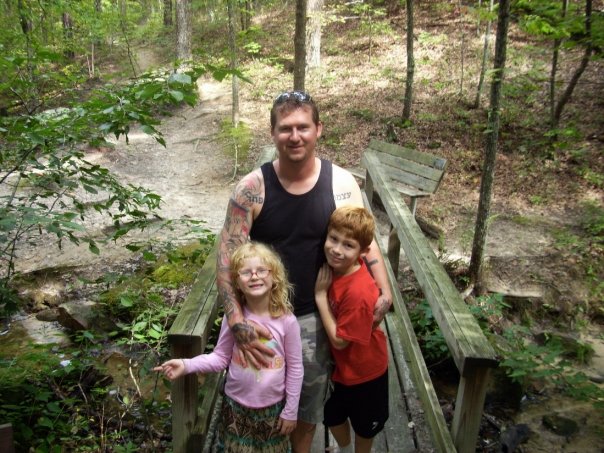
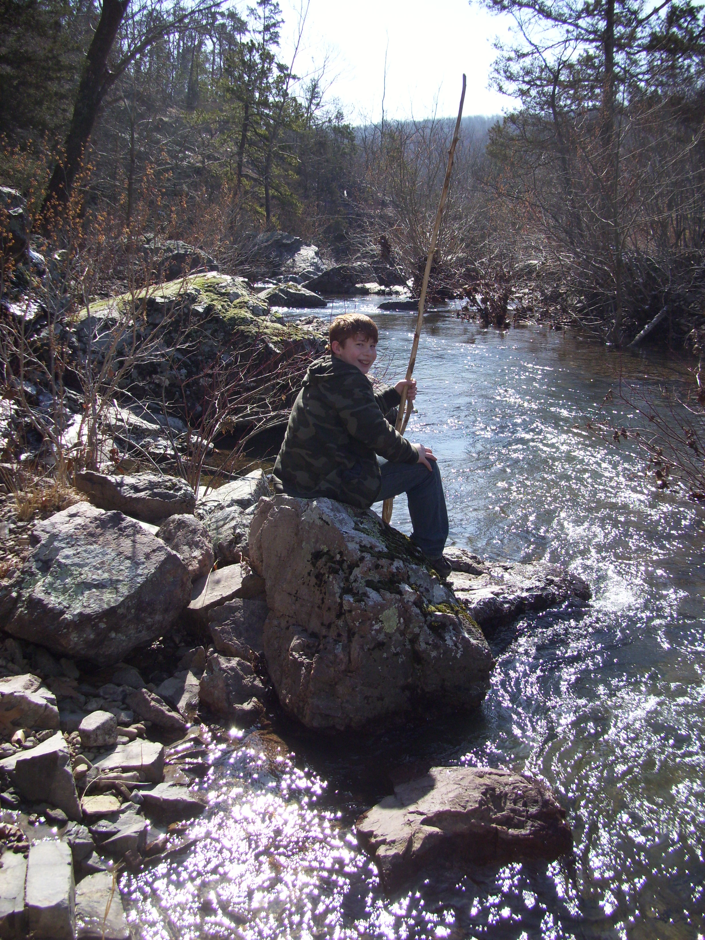
Eli, myself, and Max the hiking dog.
Filled with some of the prettiest forest in the state, the Whispering Pines Trail shows off a lot of the natural beauty, and it draws day hikers and backpackers to this area all year round. It is the longest trail at Hawn, and can be hiked in a myriad of lengths, depending on what you feel up to doing. Geographically it has a northern loop that is about 6 miles long, where the parking and trail head are, and an attached southern loop around the halfway point that is an additional 4 miles. There is also a cutoff trail that runs from a midway point on the northern loop that heads back to the parking lot for those who forgot their lunch and want to get back to the car. Along with that, there are other trails scattered throughout the area that are worth hiking too.
With that in mind, I like to start the hike through the woods by taking the Pickle Creek Trail. This is a trail that is less than a mile long and goes from the parking lot and ends right on the Whispering Pines Trail. It is a bit rugged and rocky at times, but you get to hike right next to Pickle Creek for most of it.
So where it ends, you continue on Whispering Pines, and continue to follow the creek for a ways past some of the taller and more quiet pine areas in Missouri. There is also an established backpacking campsite along this creek bottom section that we discovered. Eventually the trail turns a bit to the left, crosses the creek, and switchbacks up the hill. At the top of the hill is a big rock and we found it to be a great place to eat our lunch.
The trail then meanders a bit up and a bit down as it moves along through the wide upper forest of the mountain. Eventually you come to the cutoff trail back to the parking lot, on your left. Along this trail back, there is another campsite for those making an overnight out of it. If you continue on the northern loop, the trail follows the ridge as it narrows to the highest point of the trail. This would also be a good place to take a break due to the ability to see the treetops all around and the hills reaching out for miles. Very scenic.
You then follow the ridge back down the other side and it makes it’s way in a steeper, rocky descent. There is a healthy amount of up and down on this trail, and this is probably the most challenging part. As you get to the valley below, the trail turns to the left and you walk past the junctions for the southern loop. Seeing as we were just day hiking, we opted to stay on the northern loop instead of going the whole ten miles. As far as I know, there are at least two backpacking campsites on the southern loop, and you walk alongside the River Aux Vases for some of it. One of these days I will load up the external frame backpack and head down there to see it all.
Buuuuuuuuut, we were just going for the 6 miles this time.
So the trail moves through some rolling up and down areas, and curves back around to meet up with Pickle Creek, right behind the campground where we usually stay. It then heads back into the forest, up a taller hill, turns to the right, and follows a watershed stream down to the creek and back to the parking lot.
Why I like this trail:
Who doesn’t like the ambiance of a pine forest? Most Missouri forests that I have spent time in are a mix of cedar and hardwoods. Maybe if you’re from the southeast, pine forests are old hat. I think they have a distinctively calm and mystical feel to them. With the canopy creating a roof way up above you, and a lack of thick underbrush on the ground around you, it feels like almost a natural cathedral at times. And the scent of the pines on a warm day is always a nice olfactory reminder of where you are on the map.
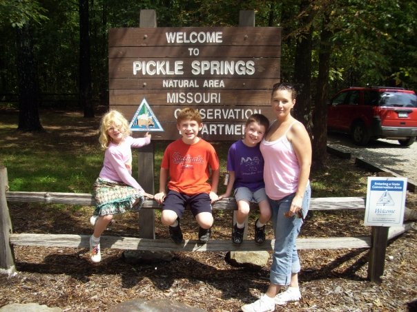
Pickle Creek is gorgeous. Clear water flowing over the exposed rocks. Little water falls and movement all over the place. I like to say that the best trails have a water feature, and this is one of the most picturesque. After you hike this one, go check out the Pickle Springs Natural Area nearby.
There is a lot of diversity to the makeup of the forests on this trail. From pine to hardwood, bottoms to scenic hilltops, rocky sections to soft loamy paths, this trail has a lot going on and a lot to see.
What you need to know:
As happy as I am to see other people out there enjoying our Missouri forests, there were a LOT of people on the trail. I can definitely attribute it to the beauty of the area, but if you are looking for some isolation, hike this one in the winter.
The parking lot is too small and it can be a challenge to find a spot near the trail head. It is certainly a popular park. Don’t let any of this deter you from checking it out though. This is a great park to visit.
I would say this is a “Moderate” trail, mostly due to it’s length and some of the up and down. Totally worth seeing however, and you don’t have to hike the whole thing.
So it turned out to be a great hike and we got some good time in the forest, surrounded by nature. Next time I visit this trail it will most likely be a trip where we’re staying in the campground, or overnight backpacking to the river. Can’t wait!
There are already a LOT of resources for information about camping and hiking out there on the internet and in “Ye Olde Booke” form, including some specific to Missouri and even the St. Louis area.
Two monthly publications put out by the Missouri Department of Conservation that you need to be receiving if you aren’t already are the Missouri Conservationist and (in MY region) the Conservation Connections Newsletter. If this is the first you’ve heard of either of them, follow the links RIGHT NOW (!!!!) and sign up for them! The MO Conservationist is a monthly magazine that is free to all Missouri households, and it features a lot of articles about all sorts of stuff concerning Missouri forests and hunting and fishing and what the MDC is up to.

The Newsletter is more of a listing of different events and classes that you can be a part of at the local facilities in your area. They break up Missouri into eight regions, each with their own specific newsletter. As far as I know, everything they offer is free to attend, and they have really neat things for the experienced and novice outdoors-person to do.
The Missouri Department of Natural Resources also has a magazine. It is called Missouri Resources, and it comes out three times a year and is free for Missouri residents. It is a great publication that focuses on our impact on the environment around us, and what the DNR is using it’s resources for to protect it. They show more of the scientific and technical side of what they are doing, and have a lot of articles full of great pictures and valuable information.
Between the Missouri Department of Conservation and the Missouri Department of Natural Resources, along with federal agencies, local government, and private organizations, Missouri has a lot to see and do out there in the woods around us. If you aren’t a subscriber to the aforementioned publications, please check them out. You won’t be disappointed!
Mastodon State Historic Site is down in Imperial, Missouri about 10-15 minutes from the 55/270 interchange. The area was purchased in 1976 to set it aside as public land after archeological evidence of Mastodons and the Paleo Indians who hunted them was discovered. The Kimmswick Bone Bed is listed on the National Register of Historic Places, and there is a museum that has exhibits about what has been found and what life was like in our area long ago.
How to get there:
There are 2 areas at Mastodon, both accessed from the West Outer Road along the highway. If you are coming from Imperial Main St., the first one you come to is the lower picnic section which is also the trail head for 2 of the 3 trails. You will go west from the W. Outer Road on Seckman Road, and about a half mile down on your left is the entrance. The 3rd trail is in the upper section, along with the museum, and these are accessed a little further down the W Outer Road, on Museum Drive. Last Friday, Max and I decided to hike the 2 in the lower area.
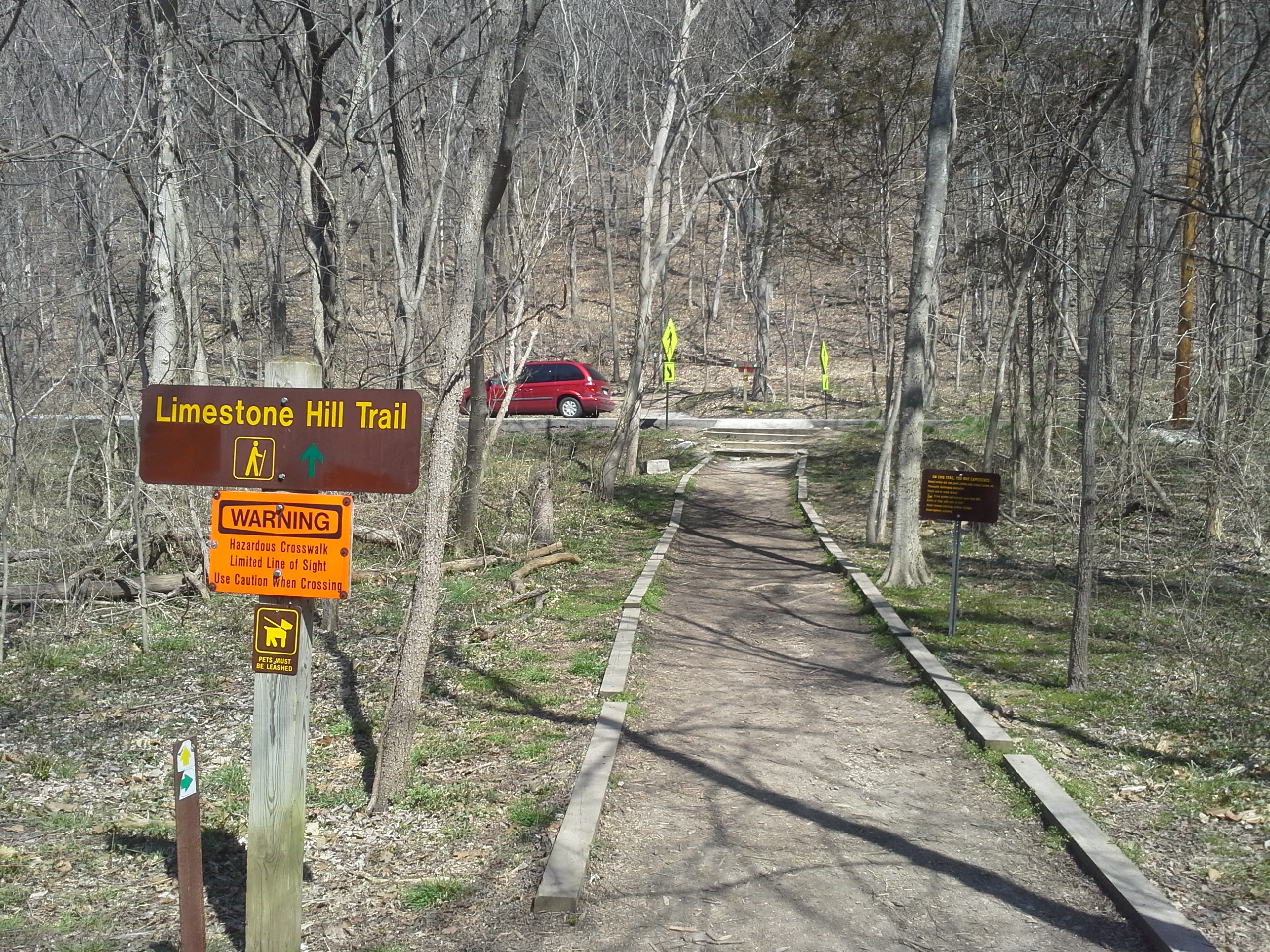
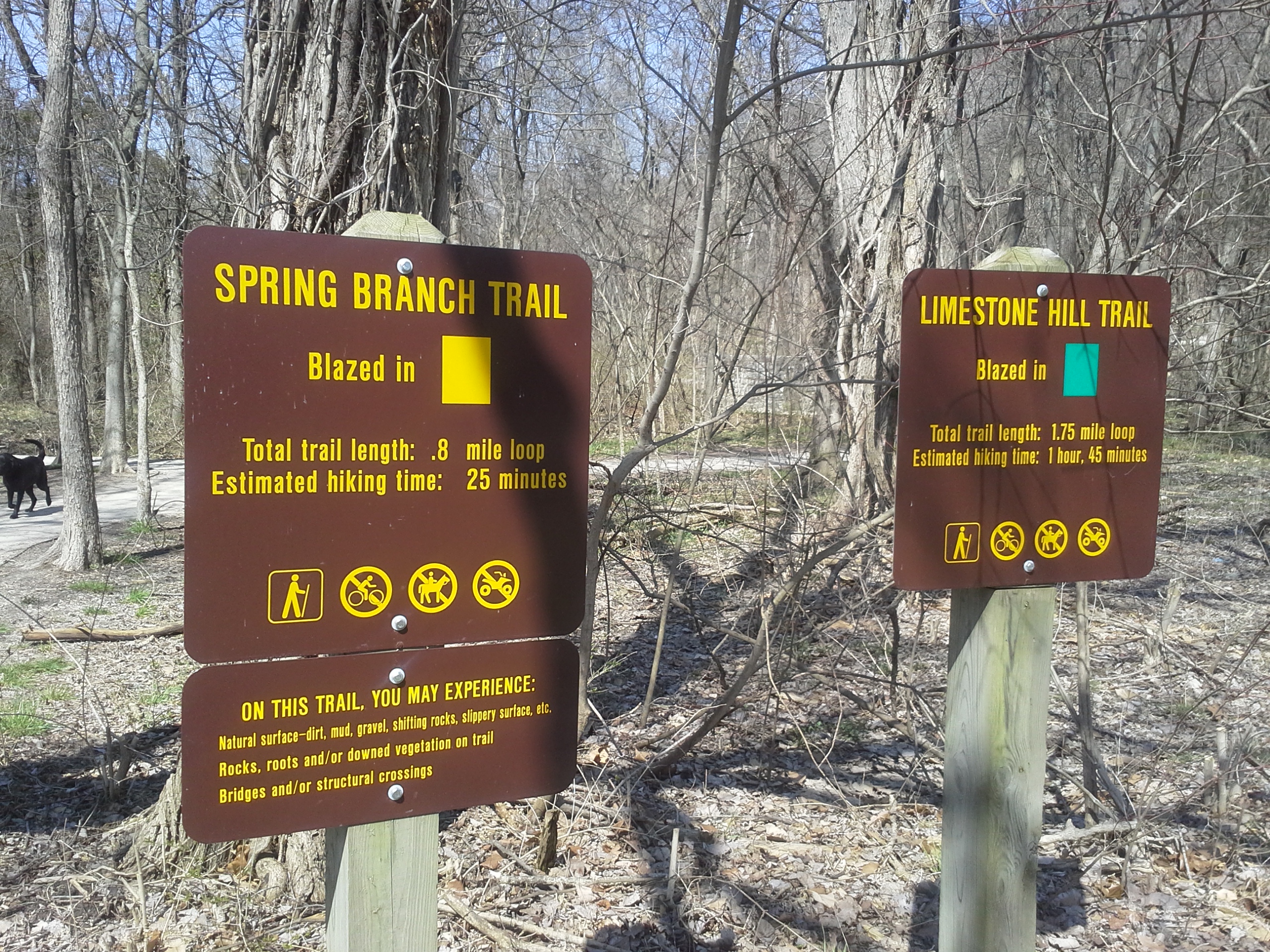
The longest trail at Mastodon is the Limestone Hill Trail at 1.75 miles. It starts out from the Spring Branch Trail, crosses Seckman Rd. and goes around the big hill in front of you. I usually take it in a clockwise direction. It goes along parallel with Seckman Rd. for a little bit through an old, predominantly cedar forest, eventually making a sharp right turn into some switchbacks as it climbs the hill. As you make your way up, the forest opens a bit and changes from cedars to mixed hardwoods. This section gets a little steep, but it is the most challenging part of the trail.
As you ascend to the top, there is an overlook area with a bench. Good place to take a break and get a drink after the climb. After this the trail makes it’s way over the upper area of the hill and shortly turns downward along the right side of the ridge. It comes through a cleared area with overhead power lines. Sort of a man made glade, and the difference in the underbrush as the year goes on is striking as the grasses and native plants grow toward the sun in the expanse. The trail heads back into forest and starts to work it’s way to the right and back to the slope above Seckman Road. This is where it gets abundantly rocky, and the last half mile moves horizontally across an incline with exposed limestone as a wall of rock on your right side for most of the way. Watch your step. The trail rejoins itself at the road crossing, and that is your 1.75 miles.
The Spring Branch Trail is 8 tenths of a mile and deserves it’s own posting, so I will just say for now that it is worth it to walk this one too while you are there. It goes around through the Rock Creek bottom area, and is a nice level path.
What I like about this trail:
The Limestone Hill Trail is a good one if you want to get the heart pumping for a little bit because of the one hill, but also want to enjoy a leisurely walk through the woods most of the time.
The exposed limestone on the part of the path along Seckman Road is fun to look at. Lots of little holes and openings on the face of it. Plus, I think the various trees clinging to the rock with their roots holding on tight is always a neat example of the strength of life’s determination.
As one of the tallest hills in the area, the views to the southwest are nice from the top.
Pack some food in a cooler to leave in the car. Hike it in the late morning an hour or two before lunch, and then use the picnic area in the lower section. Make a day of it!
What you need to know:
I would put this trail in the slightly moderate category. That one climb can be deceptively long.
As the months get warmer, the traffic on this trail tends to increase (as with most trails). That, coupled with the proximity to Seckman Road and private property on the backside makes this a trail that you should definitely keep the dog leashed on.
This is a popular picnic area on the weekends, so if you are looking for seclusion, this is not the place to go.
Lots of people use this park, especially in the warmer months. Once you visit, you will see why! Good place to take the family.
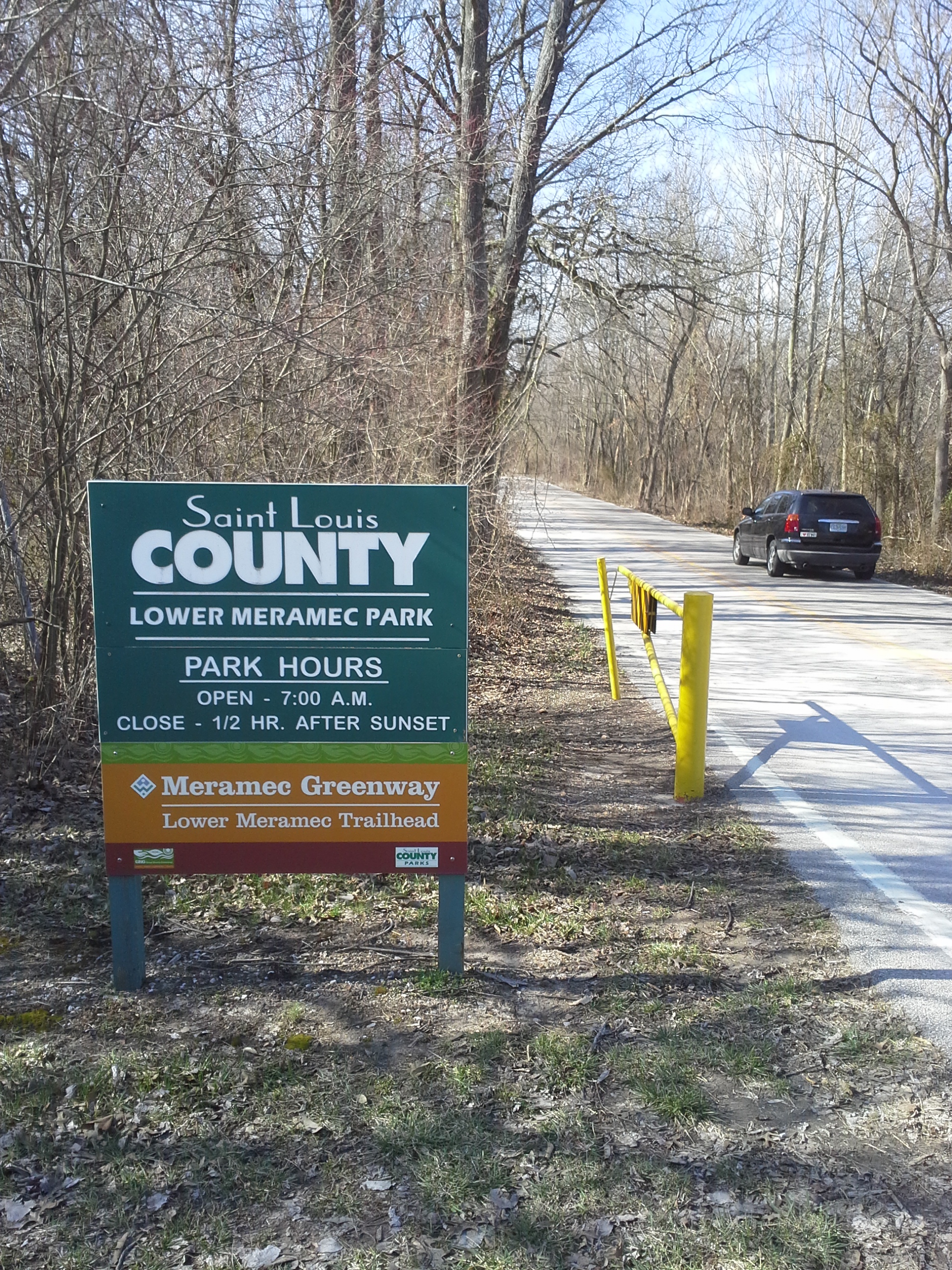 Another day with warmer weather, and I felt like going somewhere that wasn’t too challenging. I headed Down 55 to the river, to Lower Meramec Park. This is an area in the flood plain of the Meramec River, just west of 55 on the St. Louis County side. It is part of the Meramec Greenway which is an organization put together in the 70s to protect the natural areas along this river. It is actually a very impressive partnership between many municipalities and state organizations, and was joined in 2001 by the Great Rivers Greenway, which was established to protect and enhance many natural areas right in and around the St. Louis Metropolitan area. They have done great things in bettering the conditions of local waterways and providing all of us with maintained, local trails and park areas which a lot of people get quite a bit of enjoyment and exercise out of (Grant’s Trail, anyone?).

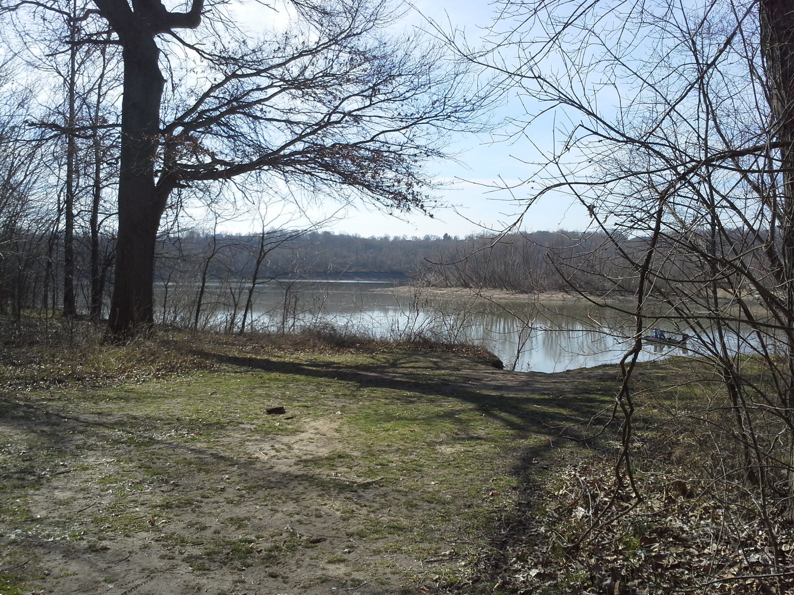
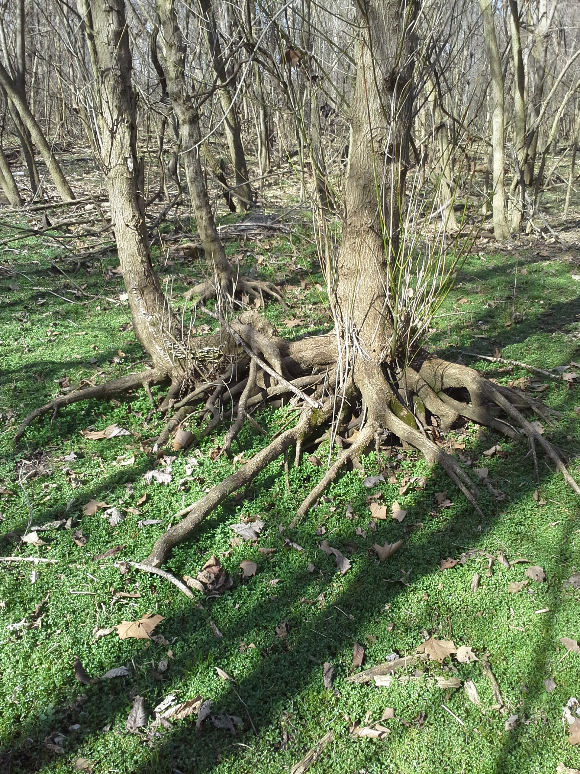
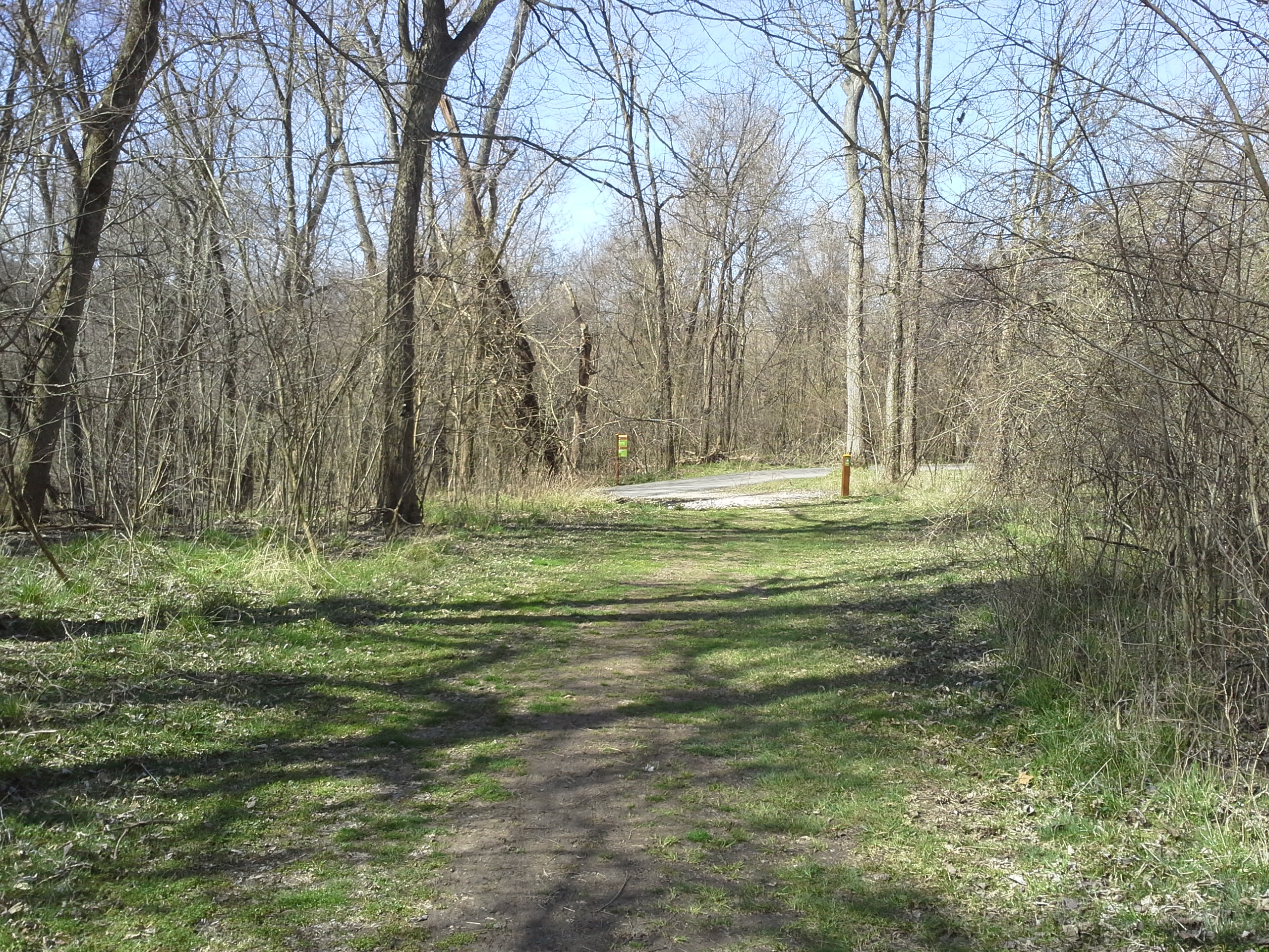
So there are 2 trails at this park. The main one is the Meramec Greenway trail which is a paved, 2 mile long, parking lot to parking lot path that follows the river for a bit and then turns to parallel highway 55. The Tall Timbers trail loops off of and back to the Meramec Greenway trail, and is just over a mile long. This one is a dirt path, and I like to hike down the main trail to this one, loop around, and then retrace my steps to the parking lot.
How to get there:
From 55 and 270, take 55 south toward Arnold. The last exit before the river is Meramec Bottom Road. Get off the highway here and make a right. Almost immediately on your left is the first parking lot and trail head. If you continue down Meramec Bottom Road, past the farm and soccer fields, you will come to Holzers Park Drive on your left. This is the road to the second parking lot and the trail head on the other end. I usually park at this one because it is closer to the Tall Timbers trail.
Why I like these trails:
They are flat, so you don’t have any challenging up and down to get the heart and lungs going. It is a more relaxing hike for me than most other trails.
They aren’t too long, and there are a few spots along the river that can be kind of scenic.
Being in a flood plain, it has a southern, swampy feel to it. It reminds me of the years I lived in Florida during my childhood, and I like walking through imagining an alligator is just around the bend.
There is a lot of life in this area, and you will come across deer and raccoon tracks if you pay attention. I have also found quite a bit of different mushrooms at various times of the year, walking off trail.
What you need to know:
Being in a flood plain, there are parts of the Tall Timbers trail that will be muddy, if not actually wide pools of standing water. Bring the galoshes, and probably some bug spray in the warmer months.
The Tall Timbers trail crosses Meramec Bottom Road twice, and I have witnessed people tearing down the straight section after the soccer fields much faster than they needed too. Keep your dog on its leash.
With cars in mind also, the interference of the traffic noises to the ambiance of the nature around you can border on disrupting at times. It isn’t so bad when you are closer to the river, but it can snap you out of that wonderful mental lull that comes from strolling amongst the trees.

Overall, this is a nice little area with low impact trails that offer a more unique type of forest than a lot of other trails nearby. Perfect for when you want to get out for just a little bit, but don’t want to go too far or work too hard when you get there.
Yes, those are hitching posts in the background.
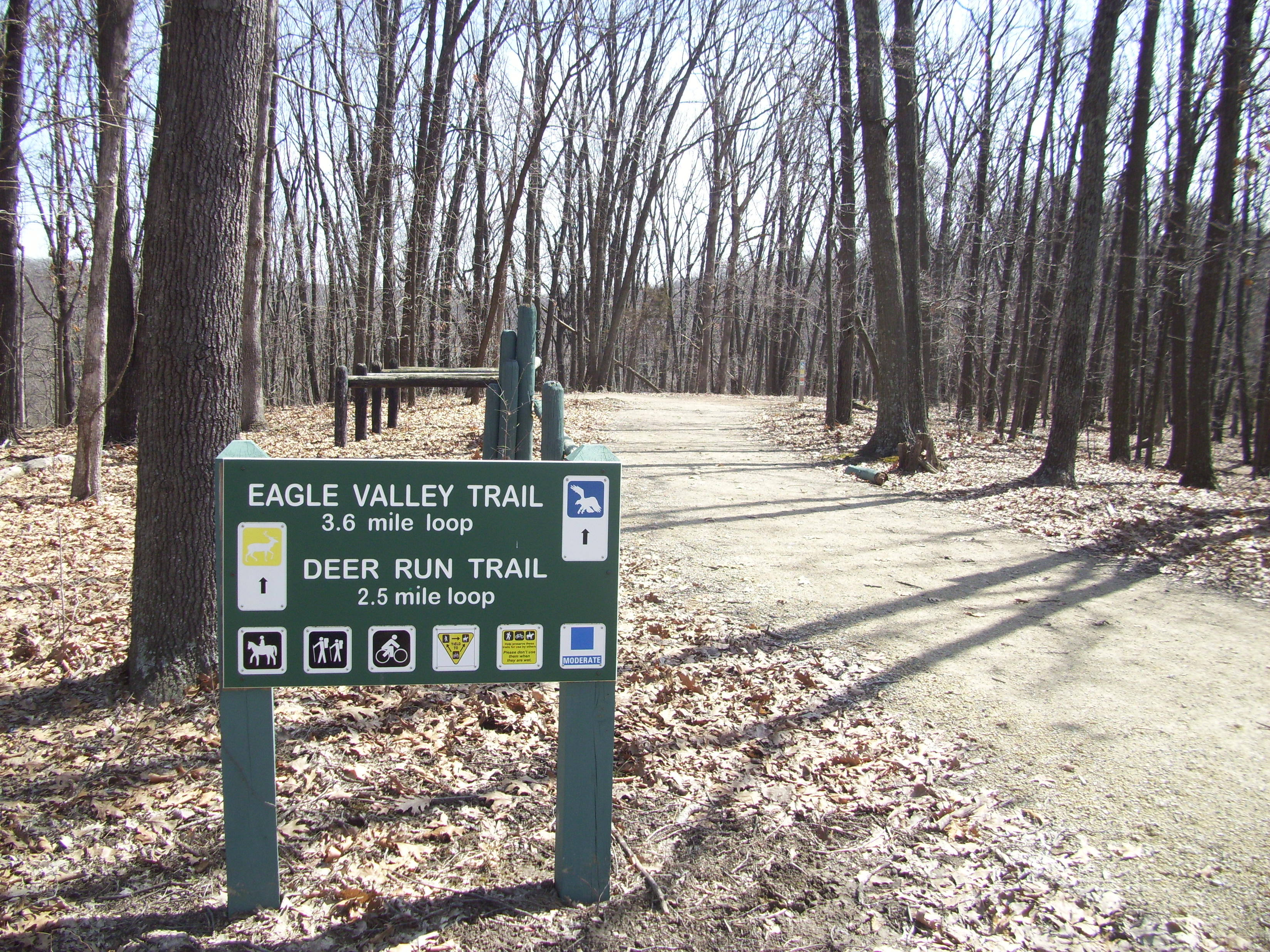
It has been a couple weeks since my ankle sprain and I felt like checking my confidence in it. It was time to go out to Greensfelder Park behind Six Flags and hike the Eagle Valley Trail. It is about 3 and a half miles down the hill, through the hollow along the stream, and back up another hill. But it’s a bit more than that.
If you know of Greensfelder, then you are probably involved in horses or off-road biking. I don’t know exactly why, but this park is a favorite of horse riders and mountain bikers alike. Gateway Off-Road Cyclists does trail maintenance out there from time to time, and if you head out there on one of the nicer weekends, you will be sharing the trail with all sorts of modes of travel. Makes for a neighborly hike, so pack your etiquette with you!
Start of the trail
How to get there:
It’s probably 20-30 minutes from 44/270. Take highway 44 west to the Six Flags/Allenton exit #261, make a right towards the Six Flags entrance, and follow the road that goes around the left side of Six Flags. As you head into the park you will pass a couple of trail-head parking lots and the entrance for the park loop road. A little further on your right you will come to the visitor’s center and you want to turn into this parking lot. At the far end on the right is the trail-head for the Eagle Valley and Deer Run Trails.
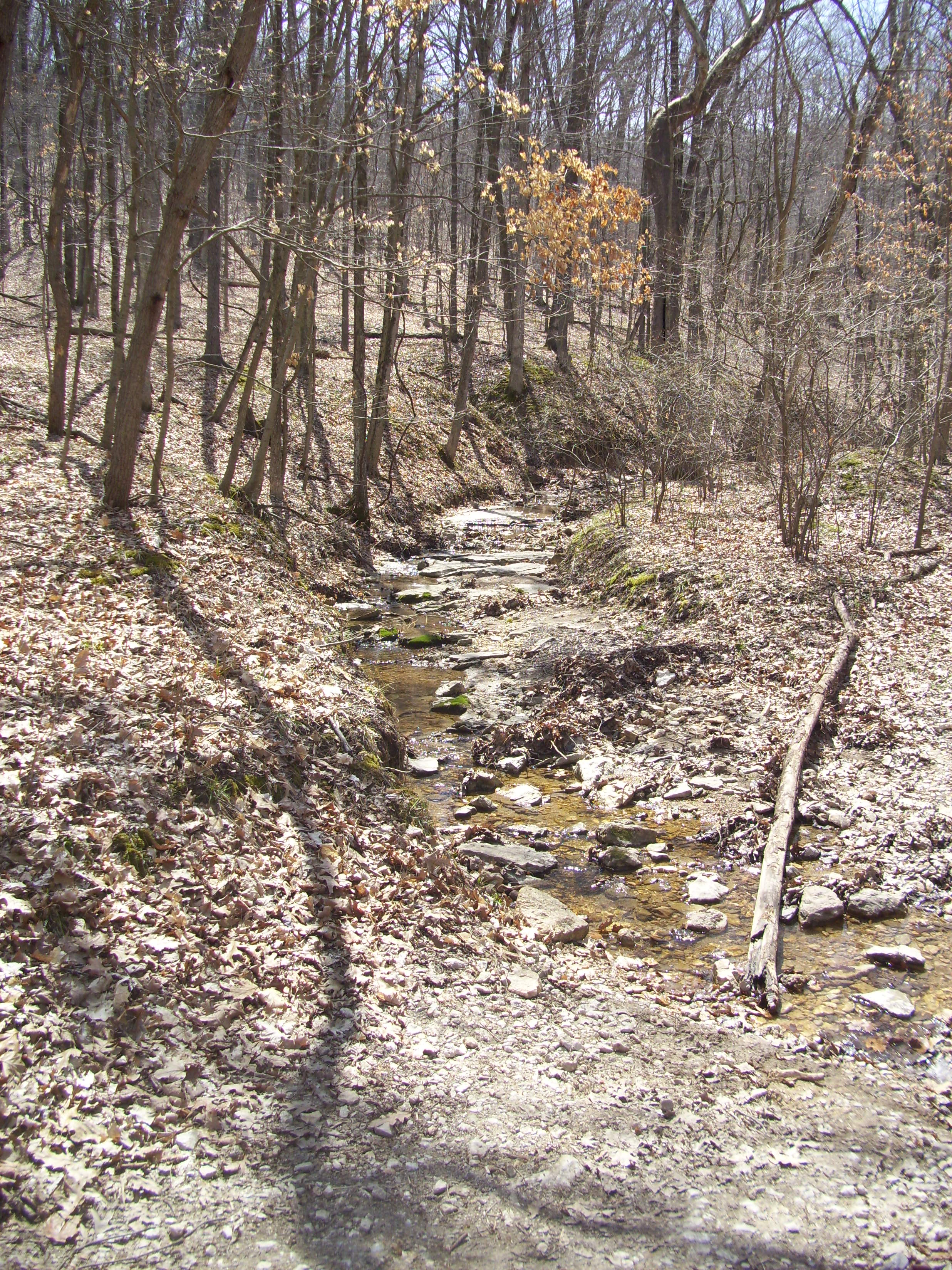
You’re gonna get to know this little stream really well.
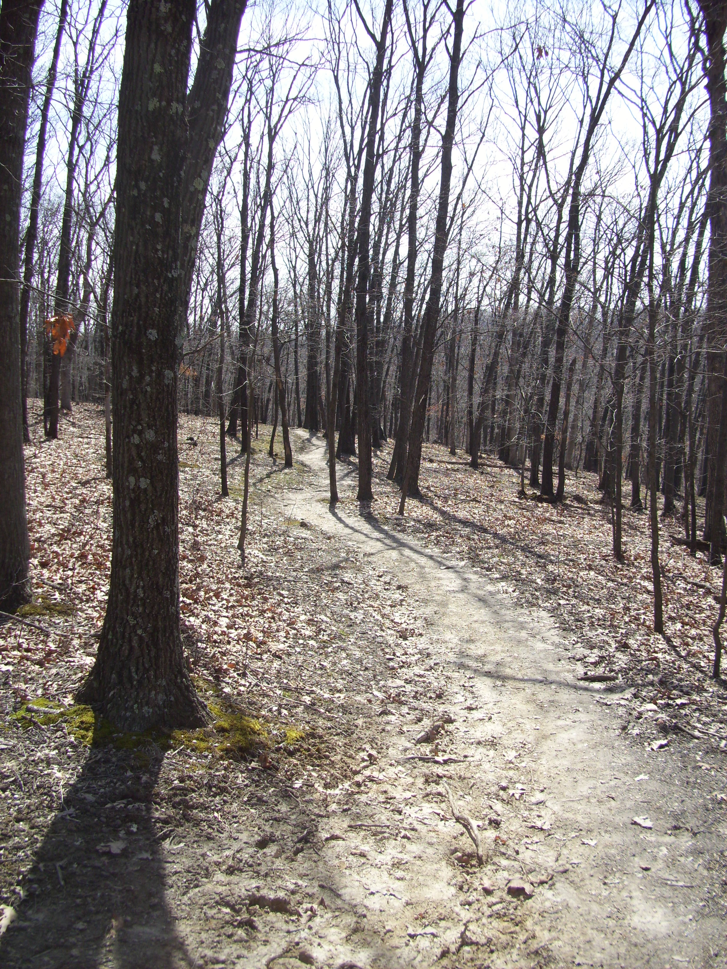
The Eagle Valley Trail heads straight out from the parking lot following the extending ridge and then down along the hill’s right side, eventually switching back and forth a couple of times until you get to the valley bottom and to the stream. Then it follows the stream, with frequent crossings, for quite a ways through a very pretty area. After it has changed direction to the left, you will finally get to your last (maybe) water crossing. It then starts a couple of long switchbacks up the hill to a scenic flat spot (this would be a great camping spot if the weather was good) at one end of the ridge of the hill you are on. It switches back again and you follow the ridge steadily up and toward the little loop for the equestrian camping. It runs along the left of this area and then curves sharply to the left and hooks around behind the other camp sites in the park. After this curve, when you first get to these camp sites along the road, you can hike up through the first one in front of you and cross the road to rejoin the trail if you want to cut a half mile off your hike. If not, the trail parallels the road and then turns to the right and crosses it, and then follows it back in the opposite direction from which you came. It will turn back to the left and you should be able to see the visitor’s center and parking lot in front of you. Follow the trail around to the trail head or do some short leaf-litter-bushwacking back to your car.
All the bark from this tree was laying around it, like the sun came out and it just dropped all its clothes.
Max, chasing an underwater rock
Why I like this trail: The best time to go is in the autumn when the leaves are falling. When you first get down into the valley and there is a light breeze with a ton of movement from the leaves in the air and a warmth from the hills, you will feel like you are in a “Lord of the Rings” forest. It really has a magical ambience to it that is sometimes hard to find, and is so worth it when you do. Just look out for the orcs…
Sometimes it’s fun to see horses on a trail. Maybe I just see the sparkle in my daughter’s eyes when she sees a horse and rider, or maybe I have that sparkle too. Sharing a trail with more than just other hikers can make for a memorable excursion.
The stream. My favorite trails have some sort of water feature, and this one follows it for probably a mile and a half at least. Go in the early morning and catch a peek at all the deer in the area. There is a lot of life along a stream.
What you need to know:
I would throw this trail in the “Moderate” category.
As this trail gets traffic other than just human feet, it tends to be wet and trodden. You will come across some muddy sections, even if it hasn’t rained recently, and there are a lot of stream crossings. Don’t wear your house slippers.
Also, with that other traffic comes the need to accept that you should practice patience and courtesy as you hike. Remember that everyone out there is out there to enjoy it like you are.
Do everyone a favor and carry your water bottle and snack trash out with you and properly dispose of them. I realize that statistically you are going to get some discards because people accidentally drop things and some people just don’t care. But in 3 and a half miles I had a bag with about five cans, four sports drink bottles, some food wrappers, and a discarded boot. Let’s keep the pretty areas pretty.
If you take this trail in the direction that I do, that climb up the hill after the valley can be challenging due to it’s steepness. Go in the reverse direction if you want a slightly easier climb on the way out.
There are other trails at Greensfelder, and I have only recently hiked one of the others, but this one is my favorite so far. Go check it out!

One of my favorite places
So first of all, I need an outlet to express myself. I have had too much free time and personal introspection and doubt in the past couple of years to deny that camping and hiking are a big part of who I am. Heading to the woods is a lot of things for me, and ultimately I would prefer to live on some land, surrounded by forest with a creek and a mountain nearby, spending my days being closely connected to the nature there.
That is the dream.
I can’t get there yet.
So I spend every reasonable chance I have to be in the forest, by a fire, on a trail, or in a tent listening to the owls and coyotes off in the distance. I have come to the conclusion that in Missouri, we DO NOT have the majestic beauty and stunning scenery of other parts of the world, but we do have a lot of great places to spend time and really cool stuff to see. And as I tend to be generally confined to the eastern parts of Missouri, I have found that a lot of areas worth experiencing aren’t that far away.

One of the first places that I ever went to, back when I was a weird little homeschooled adolescent, was Rockwoods Reservation. This is a place out in the Wildwood area, just north of Eureka off of 109. My mother used to take me and my sisters there, for outings with the homeschool group we were a part of, or just as a family to get us out of the house. There are a handful of trails there, with a lot of regional history of human influence to be discovered, and I am now able to share it with my children. The area hasn’t changed all that much in the past 20 years, even with the increase in popularity. Sure, you can’t walk through the giant man made other-worldly cavern any more (which was always a highlight), but they now allow pets in the park.
Another place that I make it a point to visit and play at with the kids at least once a summer is Elephant Rocks State Park, down off of highway 21 in Belleview, MO about an hour and a half south of St. Louis. This park is just about the coolest natural playground for any kid that likes climbing, jumping, crawling, and exploring outside. The first time you pull into the parking lot and see the granite cliffs and boulders on the right hand side, it doesn’t even prepare for the wide eyed excitement that you will experience after you follow the trail into the main area and emerge through the trees to see the immensity of the giant rock hill before you, strewn about with rain and weather carved boulders and pathways. The downfall of this place is that you will be too worn out to explore all of it in a day.
One of my favorite places in the world is Sam A. Baker State Park, which I have a strong personal connection to, due to a lot of trips down there starting since I was 17. It is in Patterson, MO right at 2 hours south of St. Louis. It is in the St. Francois mountain range, centered mainly on Mudlick Mountain, and wrapped by the Big Creek and the St. Francois river. With 2 campground areas, cabins you can rent, and hiking and backpacking trails with stone shelters you can stay in, it has a lot to offer when it comes to your personal preference for accommodations. They also have a camp store, a lodge with a great restaurant (All you can eat fish buffet on Fridays with FROG LEGS, at least last I knew), a lot of fishing and swimming access, and a visitors center that has all sorts of cool information about the area, including the history involving the Civilian Conservation Corps’ influence back in the 30s. Most of the buildings in this park were built by the CCC. This is by far my favorite park in our State Park system.

And since I keep bringing it up, I have to say that I am a big fan of our Missouri State Parks. There are great places to camp all over Missouri, private and public, and there are some differences between our State Parks and the more commercial campgrounds all over the place. The State Parks tend to be more strict concerning their rules, but they also seem to be better (in my experience) about handling nuisances that may come up, especially concerning facilities and disruptive behavior. With the private campgrounds you usually tend to get a little more freedom, and amenities like firewood and ice are sometimes included in the price to stay there (which is generally a little more expensive, also in my experience). Depends on what you like. I think my biggest draw to the State Parks is their connection to the role of conservation in our state and our lives. I feel like I am doing my part supporting and enjoying these protected natural areas by visiting them, and see it as an investment so that my kids and grandkids might still have them around when they hit the road to see what’s out there. At this time we have just over 40 parks that you can camp in all over the state, and I have only camped in 16 of them. Being on the eastern edge of the state causes distance to be a considered factor, but one day I will see them all. I love our State Parks.

We also have a lot of areas, mostly in the southern half of Missouri, protected and available to visit in the Mark Twain National Forest system. Protecting 1 and a half million acres of natural area, they offer a bunch of notable and scenic places to stay and experience. I have only been to a handful, and I see this as an example of how much there is really out there to see.
There is also the Ozark Trail for those who want to backpack across more than 350 miles through some of the prettiest areas of our state. It was conceptualized in the late 70s, and especially in recent years there has been an increased interest and more devoted maintenance, mostly by volunteers . About 15 years ago, my buddy Jeremiah and I hiked about 30 miles of it, and even though we were inexperienced and didn’t have the right gear, it was still a memorable trip. I am going to have to get back to hike some of it soon.
Then there is the Missouri Department of Conservation, which is a bit less camping/a bit more what you’re gonna do when you’re there. They have invaluable information regarding just about anything you might end up doing out on the woods, and they offer a lot of programs (usually free!) to learn how to do it.
Missouri may not be the state that is featured in all those gorgeous coffee table books with the panoramic pictures of what this planet’s beautiful nature has to offer. We don’t have the majestic peaks and the mile high waterfalls and the tropical forests. But we do however have a lot of natural charm and beauty to discover, and a day or more spent in it will show you just how satisfying and memorable it can be to be a part of it. Or maybe I’m just crazy.

So I had convinced Melissa to go backpacking with me at Sam A. Baker State Park in Patterson, MO up to the hiking shelters along the Mudlick Mountain Trail. Sam A. Baker is just about 2 hours south of St. Louis, and is the result of work by the Missouri chapter of the Civilian Conservation Corps, part of the legislation enacted by FDR in order to get us out of the depression back in the 30s. The hiking shelters were some of the many structures in the park built by the CCC, and they are a place that I had visited many times in my youth, starting when I was 17 (half my life ago). We camp at this park at least once a year, but I hadn’t been up to the shelters in a few years so it was definitely past due.

These pictures don’t convey the beauty of the place anywhere near to actually being there.
Sat right there on a good amount of nights, watching the stars and listening to the earth.
We had decided to only stay up the trail one night (Saturday) but we had all weekend so we went down Friday and stayed that night at the campground below the mountain. We got there in the early evening, and due to it being off season the camp store wasn’t open yet, so we spent our first half hour gathering firewood from the surrounding forest. It was a calm, cool evening, and after our dinner we sat by the fire and appreciated the quiet of the nearly deserted campground. We discussed plans for the next day and got off to bed at a reasonable hour.
The morning came and we got up and made coffee and breakfast. As we were packing up the tent and bedding, we also got our packs and gear finalized for the hike. It is somewhere around 1 and a half to 2 miles up to the first shelter, and about another half mile to the second one. The first one has the better view, but it also gets a lot of traffic so you have less privacy. I was betting on the earliness of the year to grant us some isolation. It wasn’t quite spring yet, and the nighttime temperatures were still dipping into the mid to upper 30s.

The REAL challenge in all this is finding someone to take the group photo
Let’s go, Dad!
After driving to the trailhead that I prefer (also the start of the “Shut-ins Trail”), we got our packs on and headed up the road and up the hill. The first section of trail is a steady ascent. Not too steep, but enough to get the lungs going. This is probably the steepest part of the trail if you are only going to the first shelter. After you get up this section, it follows the curvature of the mountain, ducking in an out, and crossing over the watersheds that have sculpted the hillsides and gullies. During the springtime, when the weather is typically wetter, this is quite a lively trail and waterproof shoes are greatly appreciated. On this particular trip, it was all the felled trees that were a nuisance. Maybe there had been recent severe weather. Maybe I haven’t hiked this trail so early in the year and maintenance hadn’t started for the season. Whatever the reason, there were quite a bit of trees and branches littering points of the trail that required some ducking and climbing.

Eventually we made it to Hiking Shelter #1, and to our happiness nobody had occupied it yet that weekend. The hiking shelters are first come/first serve, and had this been a summer trip it could easily be filled with a boy scout troop already, hard at work tying knots and whittling. We were in luck. So we dropped our packs and surveyed the area. Back up on the main trail just at the turnoff for the spur trail to the shelter was a big tree that had fallen and taken two younger trees with it. After we had eaten and relaxed for a bit, I grabbed the saw and walked up to the mess. I spent about an hour cutting up the tree and clearing the trail with Melissa dragging the more seasoned logs back to the shelter, and then we spent the next hour cutting those logs up to fit into the fireplace and provide us with whatever warmth we could get that night.
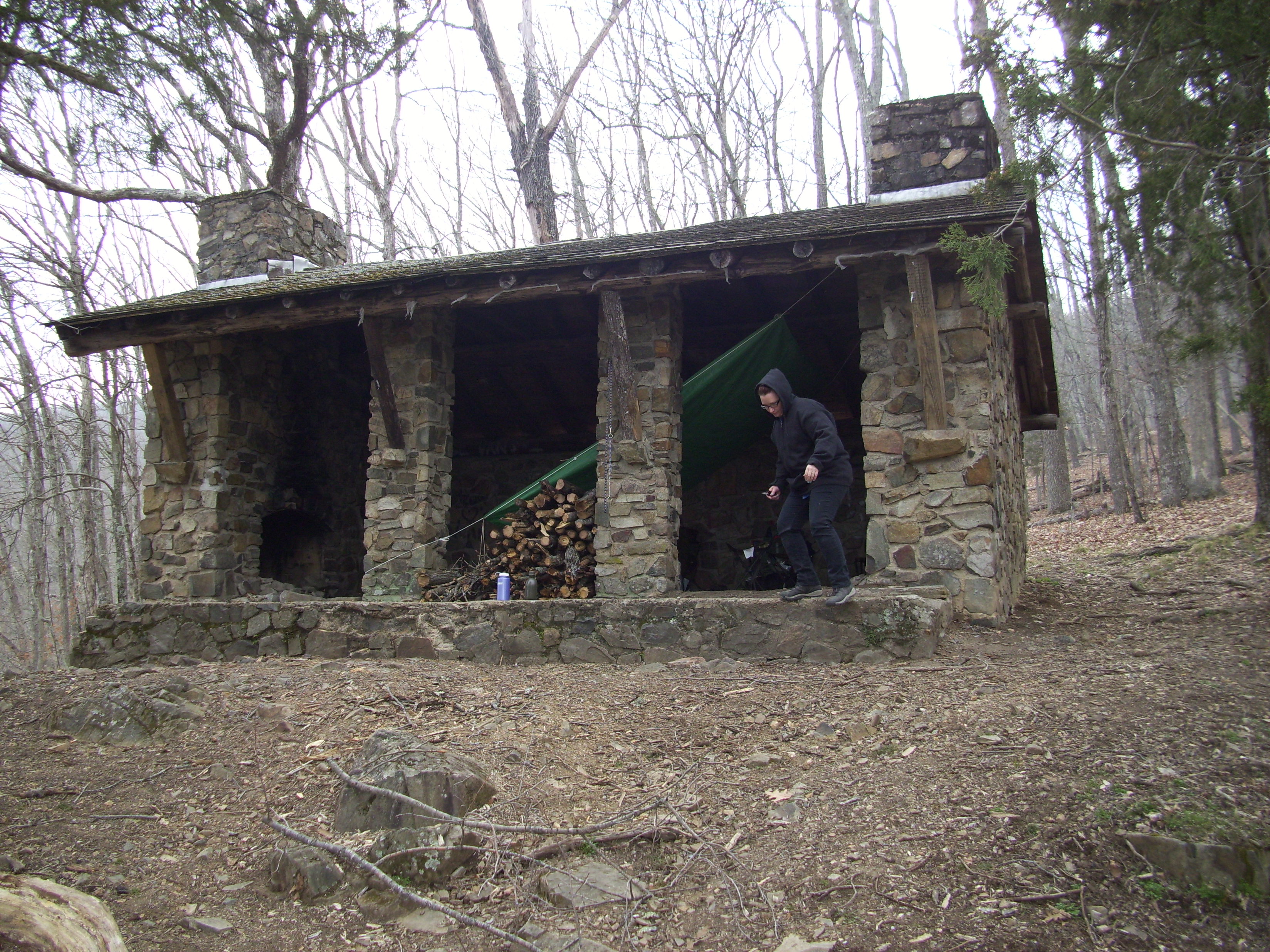
To describe the shelters, they are 3 walled, stone structures with a gable roof and 2 columns evenly spaced on the open side. The floor is stone, and on either end there is a fireplace and chimney. On one trip up here, years ago, my friend Jeremiah and I spent an entire Thursday dragging logs to the shelter, breaking them up and stacking the firewood between the two columns. We got that pile about five feet high. That weekend in early April we had both fireplaces going and it was comfortably warm and toasty within the structure. This time however, we would only have one fire burning. In order to trap some of the heat and block the wind, as well as protect us from the rain (the roof looked questionable) I brought a tarp and strung it up over our sleeping bags at a slant in front of the fireplace. Something else that I didn’t remember from my earlier trips was how uncomfortable it was to sleep on the stone floor. Sure, we had out thermarest bedrolls that work great on the soft, loamy forest floor. But this was hard, unrelenting stone. Solid and sturdy against time and the elements, and definitely NOT cushions.
Melissa, preparing our hot dog sticks.
So we explored a little bit. Walked up a steep section of trail and around to the second shelter, which was also empty, and then back to the nearest watershed to filter drinking water. Back at the shelter we got a little fire started and sat and enjoyed where we were going to get to spend the night. We were visited a couple times by campers hiking through, and we encouraged them to take a minute or two and appreciate the view. Occupying the shelter should come with an understanding that other people deserve to share the area, and nobody singularly owns the right to such a pretty spot.


So the sun went down and we cooked our hot dog dinner on the sticks that Melissa had found and whittled. We sat on our backpacking chairs in front of the fire, and then eventually on our sleeping bags. I wasn’t even done with my second beer (a luxury that I am willing to carry on such a short hike) when I got up to step out of the shelter and to the edge of the woods to use the facilities. It was dark at that point and I had stepped off the stone deck to the ground about a foot below that day so many times that I had no fear or awareness that anything could go wrong. But as I stepped down with my left foot, thinking about the current subject of conversation with my gal and the pressing urgency of my bladder, a rock below me sat half submerged into the ground with the intent of changing the course of the evening, and possibly the current direction of my life.
So my foot came down, and in one smooth movement caught the edge of the rock and rolled inward with all my weight directed on my now sideways-bent ankle. I dropped to the ground, knowing in a mild panic that something bad had happened. This is not good, I thought, as the searing pain brought tears and sweaty chills. I lifted myself up to sit on the deck of the shelter, with Melissa behind me in front of the fire. I took a few moments trying to assess if my ankle could still take the pressure of my weight. Hobbling painfully back and forth, I hoped that I could just walk it off.
I couldn’t walk it off.
I walked to the edge of the forest, to the established pee corner, and relieved myself. Struggling back to the shelter, I tried to calm myself and reassess what the next 24 hours might bring. I didn’t think it was broken, but it was wobbly and painful. We had to hike out of here. I was supposed to start a new job on Monday. I had no health insurance. After sitting in front of the fire for a couple more minutes, I concluded that the best thing right now was probably to try and get some rest and stay warm. I am notoriously a big heater, generally exuding quite a bit of energy to anyone near me. Melissa commented that she had never felt me as cold and shivering as I was.
So I tried to sleep.
After a few hours of randomly waking up and throwing more wood on the dying fire, the pain was too much and I took some ibuprofen. This was more than just a minor irritation, and after probably half an hour the pain subsided a bit. The problem now was the physical realization that sleeping on a rock floor sucks too. There wasn’t much sleep that night for either of us, and I felt a bittersweet happiness when it started to get lighter out, knowing that the hike out wasn’t going to be easy. It had started to rain too.
We got up and started wrapping our gear up in preparation to go. I pulled the ACE bandage out of my first aid kit and secured my ankle as best as the little bandage would allow. I got the saw and hobbled up to the fallen trees I had cleared off of the path the previous day and cut myself a primitive crutch. After we got everything ready to go, we sat for a while, hoping that the rain would stop. It didn’t, and I had to get this hike over with.
So we set out.
With it having rained pretty steadily for a few hours already, the trail was muddy and the watersheds had become a lot more active. All that coupled with the downed trees along the trail made this more of an obstacle course than I would have wanted. We walked along as determined as we could. Step, half step, step, half step. Around the knobs and hills, through the mud, under the branches. I alternated between using the heavy green-wood crutch, and holding it over my head to give my shoulder and right leg intermittent breaks. As we made our way, through the pain all I thought about was the awful and eerily coincidental timing of this accident. I hadn’t been working full time since August. I was supposed to start a new job with a previous employer the next day. The construction industry has been drowning and cannibalizing itself for a number of years now, but it is finally slowly coming back. I had by this point lost my health insurance though, and my house has entered foreclosure. I was finally getting some good news. The timing of this was too notable and depressing to be ignored. So as I struggled along, jolts of pain with every step, and I looked around at this beautiful sacred place that I love so much. We were surrounded by life starting to wake up from it’s winter nap, with the warming soil that spring brings and a replenishing rain falling all around us. This is one of my favorite natural areas to be in, and after years of adventures, I can attest to a connection with the energy of this mountain that I know to be true in my heart. Suddenly the difficult hike was internalized and I found myself trying to understand why any creator or God or life-force that governs our existence would allow such a thing to happen to me in such a personally holy place. This is my temple, my sanctuary, the forest. Soaked and hurt, gear on my back crushing the throbbing weakness that was now overcoming me, this was the last place on earth that I wanted to be.
And in the rain and the mud and the pain, I broke down, with a mile still to go.
We finally got out, back to the car. The pain had dulled somewhat, as well as my emotions. We loaded our wet packs, got the soaked dog in, and hit the road. On the way back to town we discussed the plan to go by an urgent care facility and that we would be missing dinner at my parent’s house in Barnhart. We just wanted to be at home. I called my potential boss and explained the situation and that it would likely be a handful of weeks before I would be able to work. He shared my disappointment and told me to call them when I was in good shape. We got home.
My ankle ended up severely sprained, with some torn ligaments. Whatever moral or conclusion exists, it escapes my vision currently. Something really awful happened in a place very special to me at one of the worst possible times. But I guess it could have been worse, and I got off relatively easy. My ankle could have been broken. We could have had 10 miles to hike out. It still sucked though.
Maybe something good will come out of this. Maybe it will teach me to always look before I step. Maybe it will be an example to someone in the future, including myself, of the truth that all things are just temporary and what matters is that we are breathing and with people we love.
This is just the latest upward incline on the path of my life. And I will return to that special place again, having shared a different intimacy with it this time than neither the mountain nor myself were previously accustomed to.
Thanks for letting me share this with you.


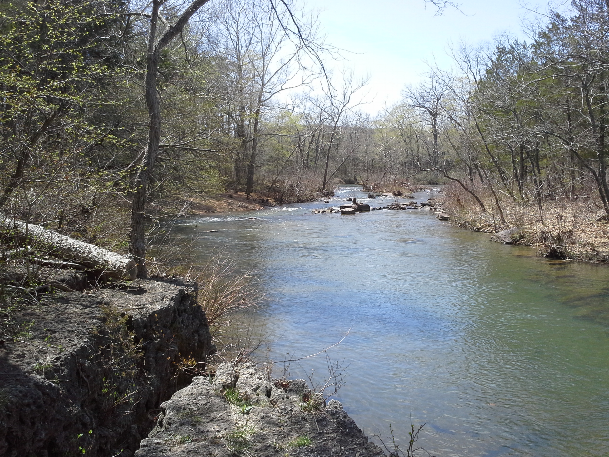
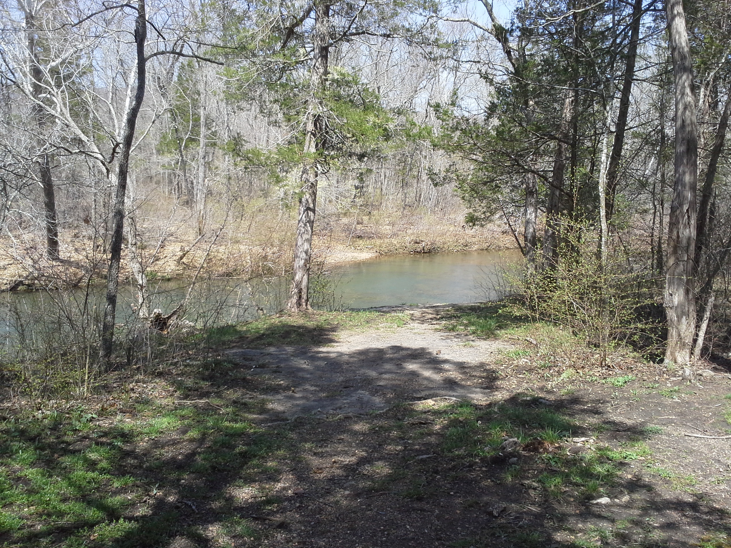
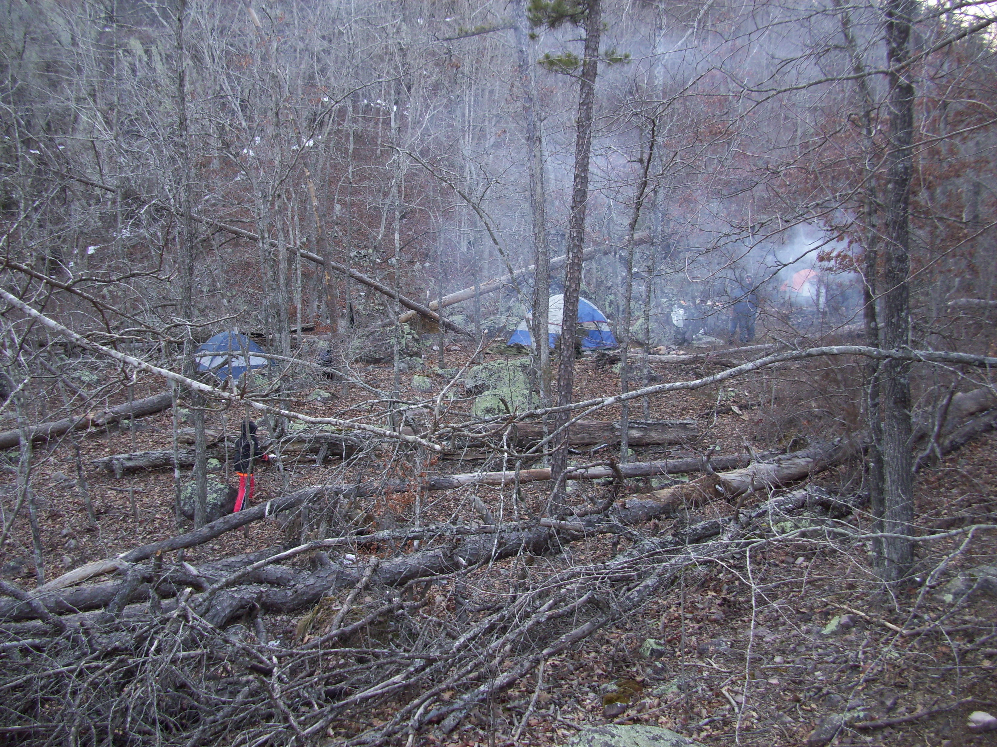
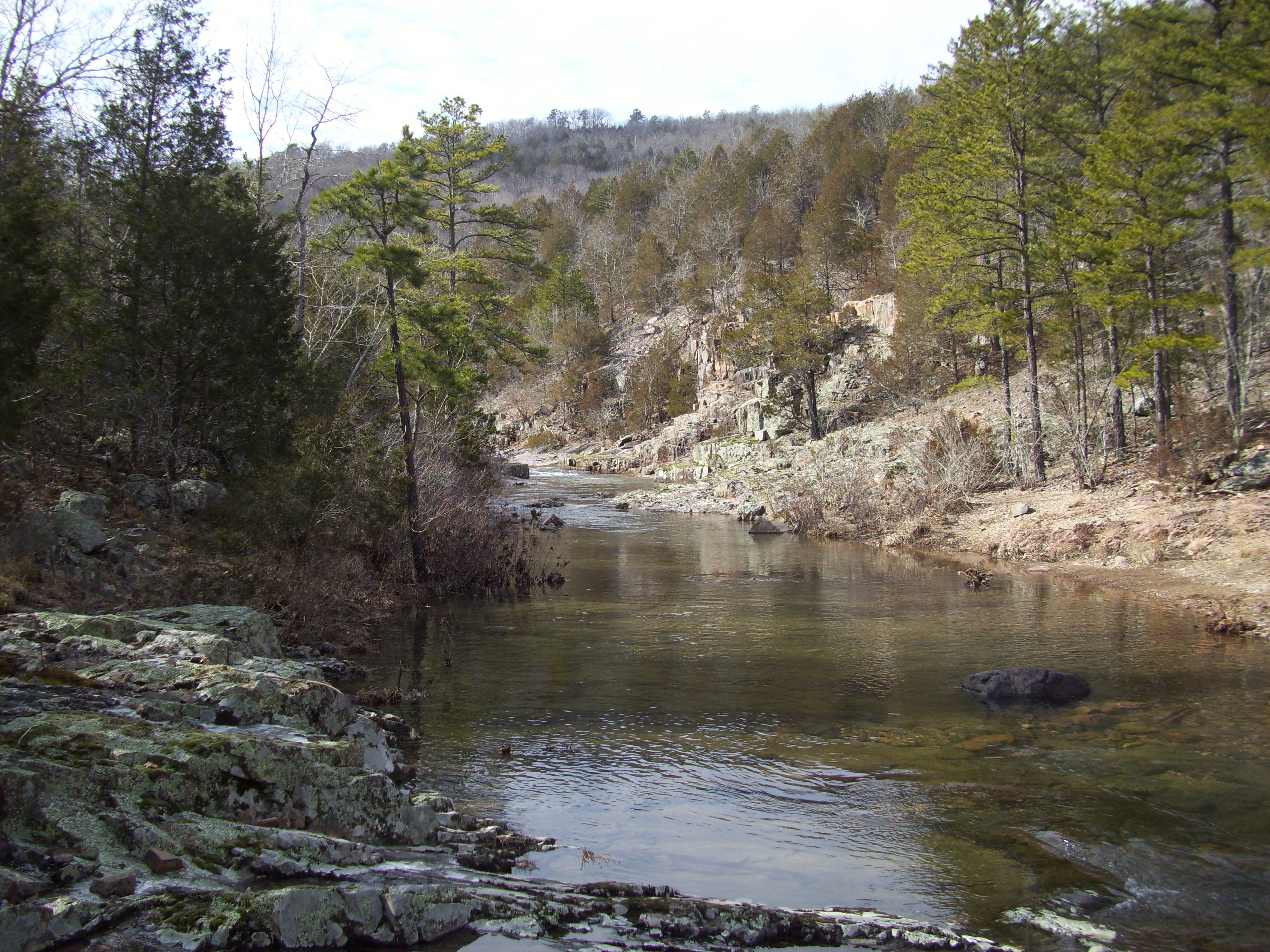
Lower Rock Creek
Lower Rock Creek is a wilderness area about 8 miles or so west of Fredericktown, MO. There are no signs that point the way like any typical natural area. From St. Louis you get on 55 south to 67 south. Take that all the way through Fredericktown until you get to MO E. Go west (right) on E for about 8 miles, and pretty soon after you cross the bridge over the St. Francois River, you will come to County Road 511, on your right hand side. Turn right on CR 511 and take that past the fields on either side about half a mile. The road will incline down and there is a little concrete bridge that goes over a creek. Almost immediately past the bridge on the left is a gravel jeep trail. That is the road to the parking area and trailhead. Take that for almost half a mile until you get to an old gate, with the same stream you crossed over just beyond it. This is where you park. Beyond the gate and across the creek is the trail. I believe there is another trail that heads out from the parking area parallel with the creek, but I have no idea where that one goes, yet. If you don’t feel that your vehicle can make it all the way down the jeep path, there are a couple spots on the way that you can park at.
Soon after you get past the gate and across the creek the trail breaks off at a fork. Follow the fork to the left. I don’t know where the right fork goes, yet.
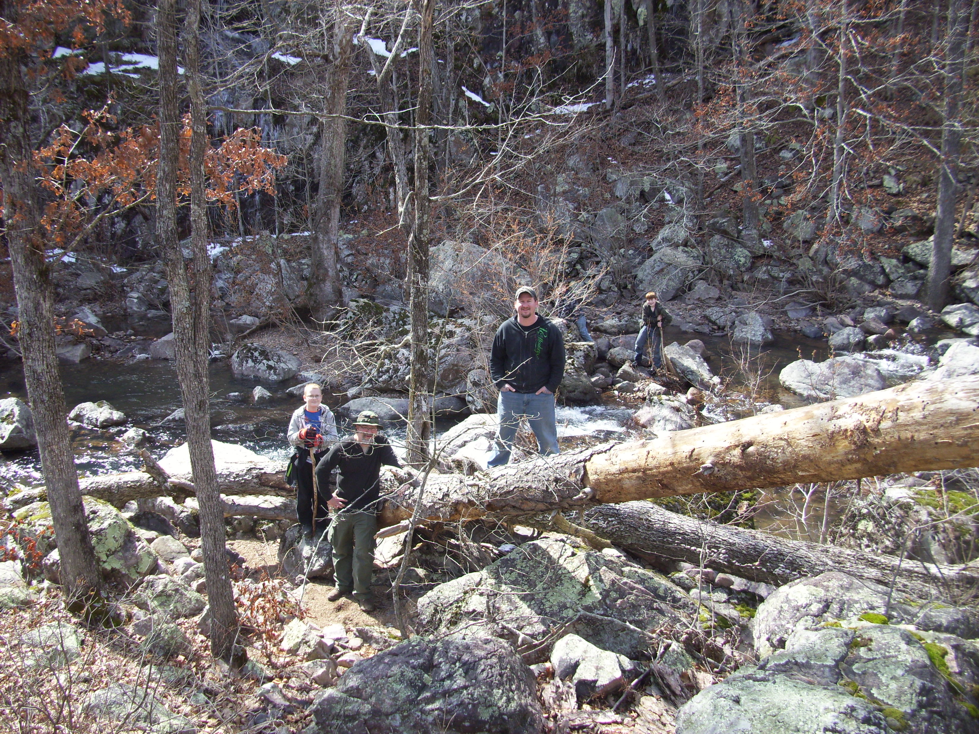
So it was the beginning of March and it was going to be a cold weekend. Between 15 and 20 for the low overnight. But we weren’t scared, we were men!

Me and Eli
Dave and Gauge

Brent and Owen
We got to the end of the jeep path around noon on a cloudy Saturday. It was probably just at freezing, with snow falling intermittently throughout the hike to the creek. It’s about a mile and a half, after you cross the stream just beyond the gate at the parking area. Good spot to take a break!
Eli
Owen
Dave, on break

Brent, on break
Gauge, glad to have that pack on the ground.
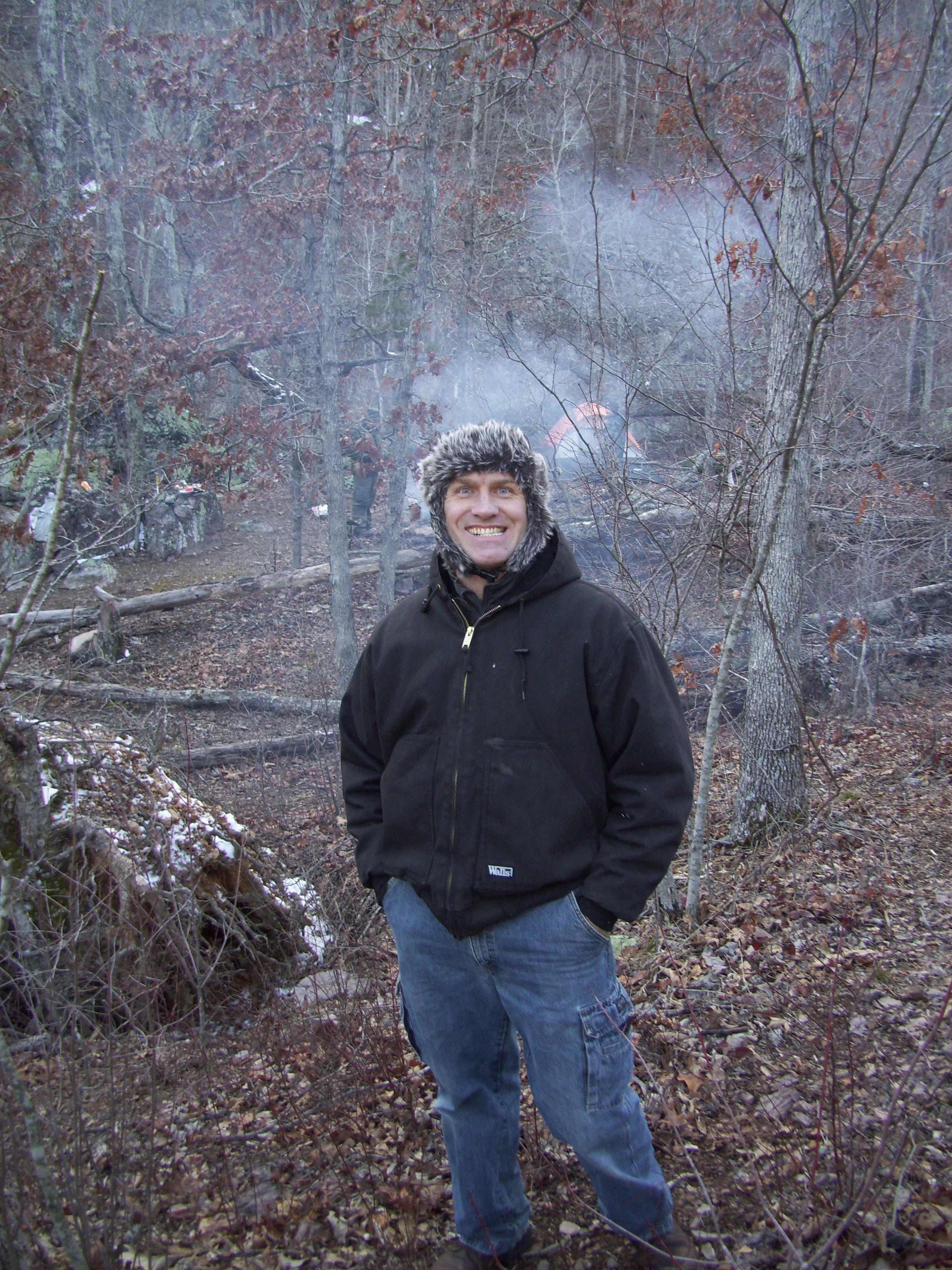
Temperature dropped so I had to put the jacket on.

Owen and Eli, downriver
After a snack and a rest, it was time to head to the campsite. You hike along the creek the rest of the way, but it tends to get pretty challenging as the trail meanders up and down the hill, sends you through areas of rock piles and low tree branches, and the ever present hip-breaking slippery bedrock. This is not an easy, straightforward, along-the-established-trail hike. You have to take your time through all of the obstacles, and everybody did a great job!
Up the hill

Back on the trail
Where’s the trail?!?

Lower Rock Creek
Dave, Owen, Gauge, Eli, Me
Brent, looking for the trail
Gauge, appreciating nature’s bench
Dave, enjoying the challenge!
Brent, looking like he always does
You finally get to the campsite after probably only a couple total miles of challenging hiking, and it is totally worth is for the beauty and isolation offered. It really is a back-country wilderness area.
The campsite from the trail

Eli and my tent
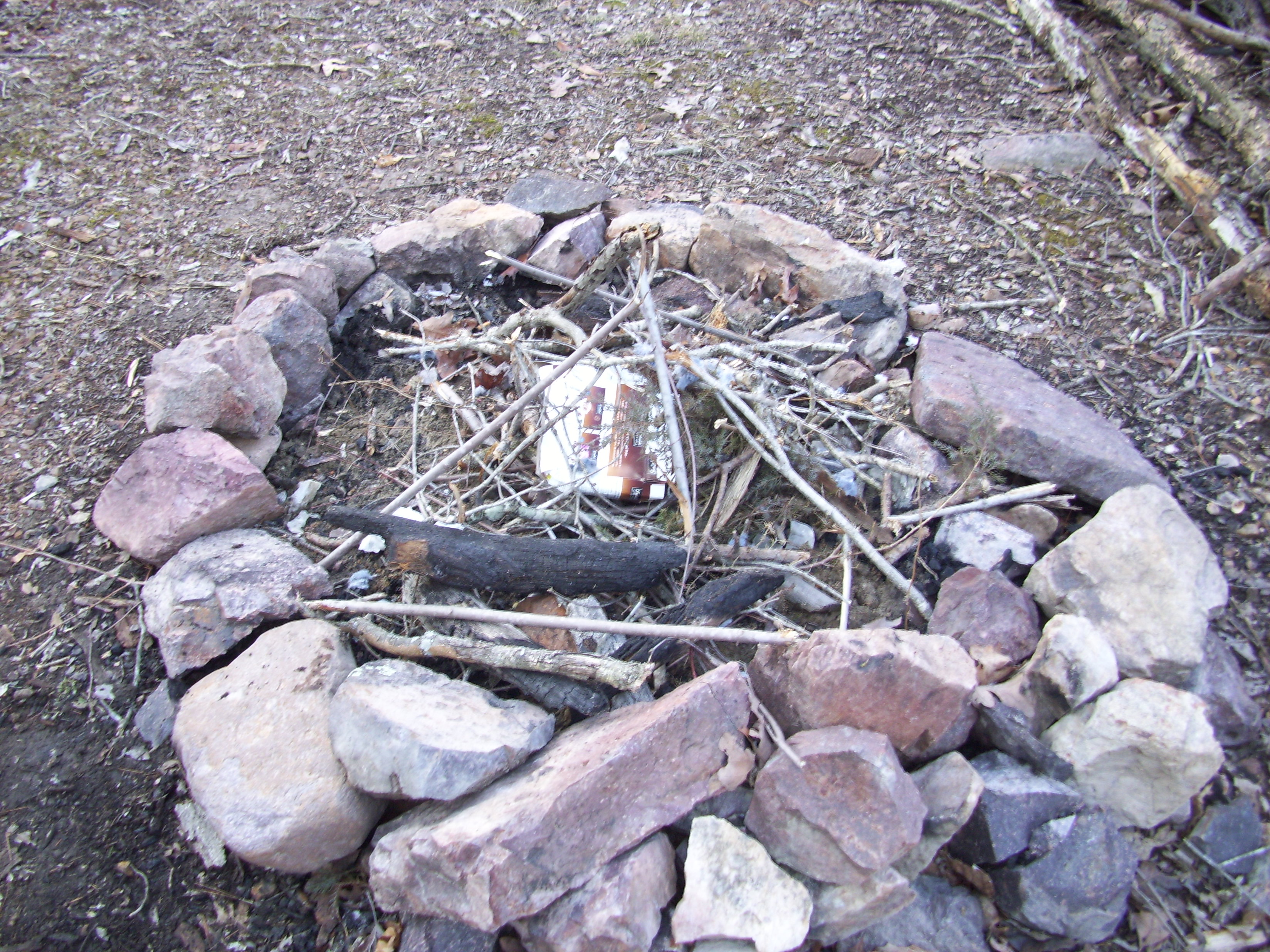
One of the THREE fire rings at the campsite
After another break, we gathered some wood and set up our tents.

We found a few sticks

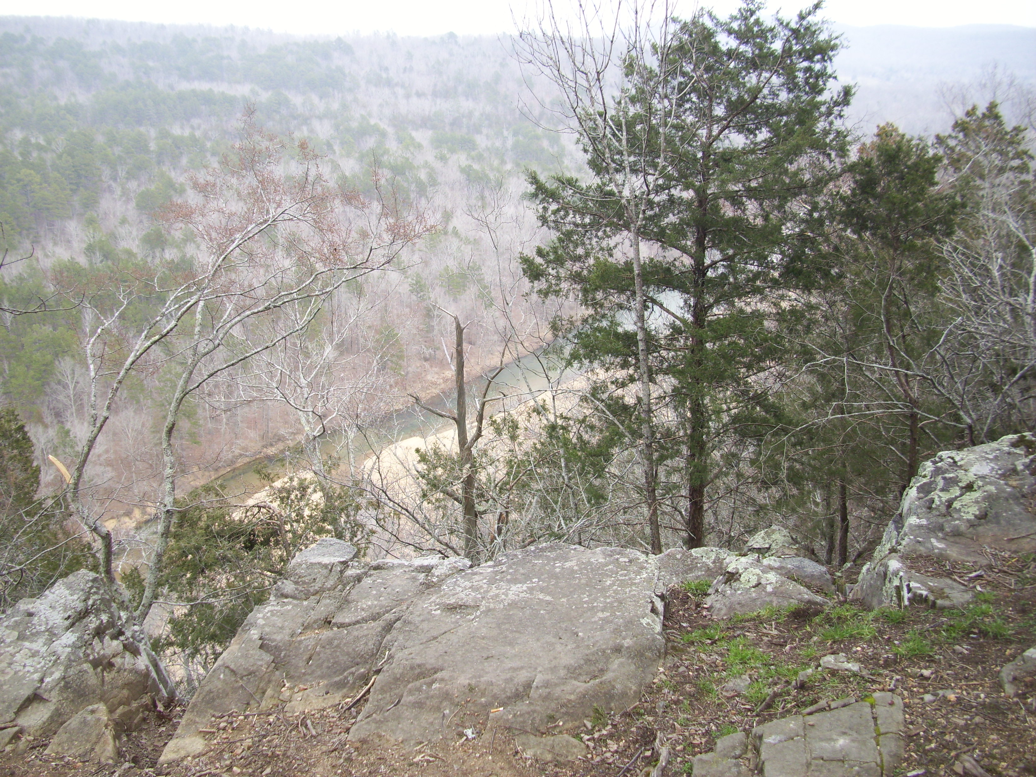
Cathedral Canyon, the opposite side of the creek from us.

Cathedral Canyon, the opposite side of the creek from us.

The creek, below the campsite

“You look like a LumberJack!”
“You look like a Russian!”

Gauge
Campsite shenanigans
One thing that is pretty neat about this site is that somebody carried a storage tote out to it that is full of all sorts of kitchen equipment. It has a grill for the fire, pots and pans, and utensils among other things. If you wanted to bring all sorts of food with you, you would be able to reasonably cook it without packing any kitchen equipment.
Also, being in the canyon, it will get darker faster than the surrounding hills, so get your tent set up and your fire going early. We spent a good amount of time collecting firewood and cutting off chunks of a pine to use as seats, but they may be ashes by the next trip out there. A good little backpacking chair is a luxury worth carrying.

Around the fire
Around the fire
Around the fire
The next morning brought us frost from our breath on the inside of the tent, and Dave said when he got up at one point the thermometer I brought said 17 degrees. Other than the end of my sleeping bag getting damp from being against the side of the tent and transferring the cold to my toes, it was a pretty toasty night. Make sure you have the right gear for the conditions you will be in, and could unexpectedly be in!
The morning was spent preparing breakfast and exploring and packing up. A good little backpacking stove is useful to get breakfast going quickly without having to wait on a fire, and a water filter is helpful so that you don’t have to carry all your water in.
The creek below the campsite in the morning

Owen

Gauge and Eli
Opposite side of the creek from the campsite
Eli across the creek from the campsite

Lower Rock Creek
Owen and Eli

Owen and Eli and the icicles they found.

Eli

Owen and Brent
Eli

Me

Lower Rock Creek

Up the trail past the campsite, looking upstream
After packing up we headed out, took a break before the trail leaves the creek, and enjoyed at least a sunnier hike than the day before.

Brent and Dave

I love this place

Taking a break on the way back
Lower Rock Creek is probably one of the prettiest places to hike and camp in Missouri, and you pay for it in the ruggedness of the trail. But it is totally worth it. I can’t wait to get back!
Why would a person head to the woods? What is the point of hiking and camping? We have all we need surrounding us in these cities and municipalities, so why do we need to spend time out of our regular environment?
For each person, I know that there could be a variety of reasons to spend time in nature. In just myself, I have many simple AND complex motivations for doing such a thing. Some easy to explain and others difficult to articulate. I can say that I know for sure deep down within me that the desire to spend time in the forest springs from a real and indescribable need. It is like a craving. A voice in the distance calling me. I can hear it in my head and feel it in my body. I have an undeniable physical, emotional, cognitive, and spiritual connection to nature and I am drawn to it in a very powerful way.
So is that the SIMPLE motivation? That I just feel it? I have spent time considering why and breaking it down to easier to explain reasons. Maybe a few more realistic reasons, for those that have difficulty with the unexplainable.
I enjoy the exercise. Most times when you are going to be out in the woods, it tends to involve physical activity. You are probably hiking somewhere. Or maybe you are paddling down a river. Probably setting up some equipment and walking around a campground. Whatever you are doing, when you are out of your house surrounded by trees, at some point you are probably moving around. Maybe even sweating. As much as I hate the gym and loathe working out, I feel very satisfied after a good hike. It’s the feeling that the work done by the muscles and bones is one of vitality and life, and ensures the furthering of one’s own history. It just makes you feel good.
Something else that has occurred to me is that when I am spending time away from the city and my home, I am also spending time away from the stresses of my life. Sure, they are all still there, but I am distracted and distanced, both mentally and physically from them. The lack of compounding stress would be enough to cause anyone to flee to nature. It is a good recharge of my emotional fortitude, and it helps to clear the storm clouds in my head.

An aspect of camping that I cannot deny also, is that I really like sitting around a campfire, drinking a few beers, and enjoying the varying peace and stimulating conversation. It is an appreciated event, spending time with those close to me in such a relaxed ritualistic setting. I think that it is proves a deep connection to our primitive past, the occasion of gathering around a fire and sharing food and life.
Ultimately however, my connection to the forest is more spiritual for me than anything. This I know to be true. I have known my clearest thoughts, walking through the woods. I have understood glimpses of our role on this planet and in this existence, as I have spent time among the trees. And there are times that I can recall when I have been at the base of a mountain or camped beside a flowing river, with a fire before me, that I have communed with God. If there is anywhere that I would truly consider to be my temple, it would be in nature. Creation is my holy place. The trees are its elders, and the animals along with us, its congregation. The air carries with it a quiet hymn, and the soil and water are the dwelling of life’s most blessed sacraments. This is the strongest draw for me.
I’m sure that more self analysis is down the road, as it always is. But these are my reasons so far. Why do you spend time in the woods?
