
Whispering Pines Trail, Hawn State Park 4/6/2013
 It was supposed to be a nice weekend, this first one of April, and I knew that I had to get out onto a more substantial trail. The Whispering Pines Trail was the perfect choice!
How to get there: Hawn State Park is to the west of St. Genevieve, MO and east of Farmington, MO, off of highway 32 that runs between them. About an hour south of St. Louis, you take interstate 55 to MO 32. Head west (right) on 32 and after 8 to 10 miles, you will make a left on MO 144. You will be on 144 for about 4 miles, and it will take you right into the park.
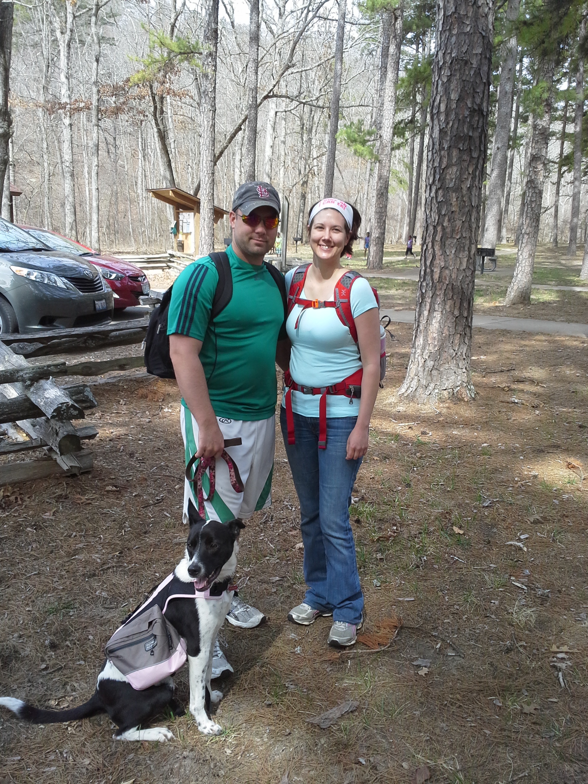
Tony, Mindy, and Billie the hiking dog.
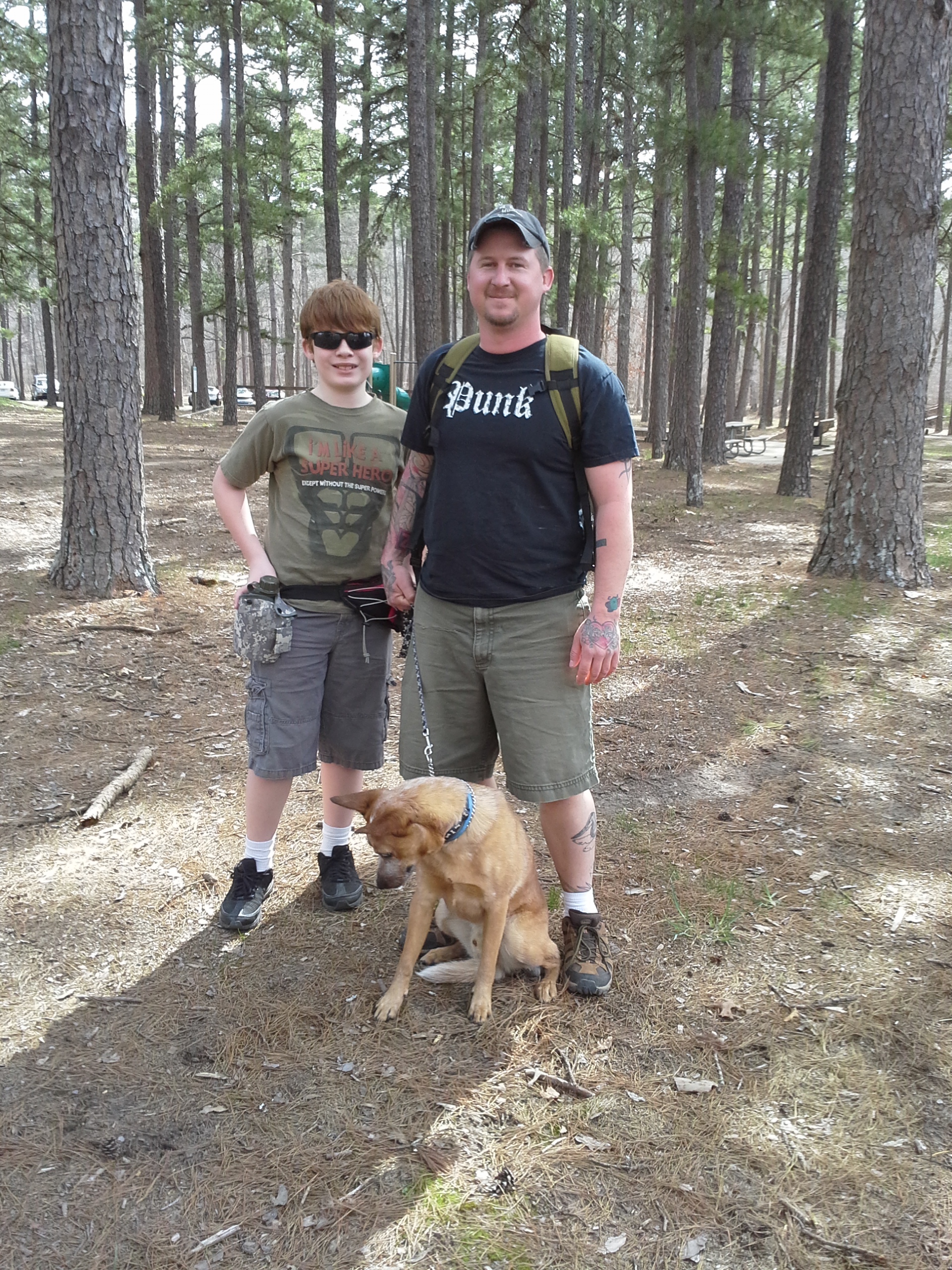
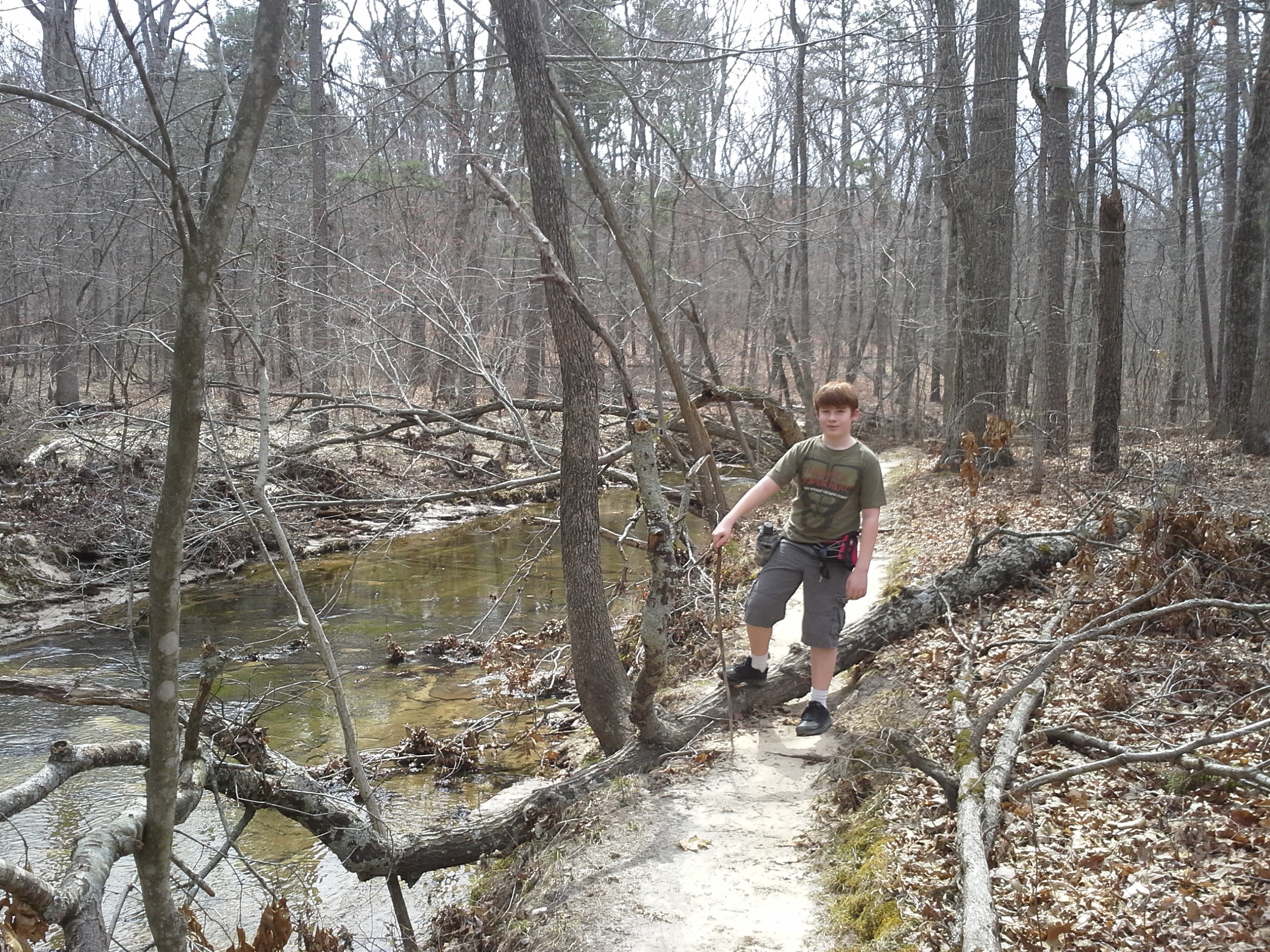
Eli, myself, and Max the hiking dog.
Filled with some of the prettiest forest in the state, the Whispering Pines Trail shows off a lot of the natural beauty, and it draws day hikers and backpackers to this area all year round. It is the longest trail at Hawn, and can be hiked in a myriad of lengths, depending on what you feel up to doing. Geographically it has a northern loop that is about 6 miles long, where the parking and trail head are, and an attached southern loop around the halfway point that is an additional 4 miles. There is also a cutoff trail that runs from a midway point on the northern loop that heads back to the parking lot for those who forgot their lunch and want to get back to the car. Along with that, there are other trails scattered throughout the area that are worth hiking too.
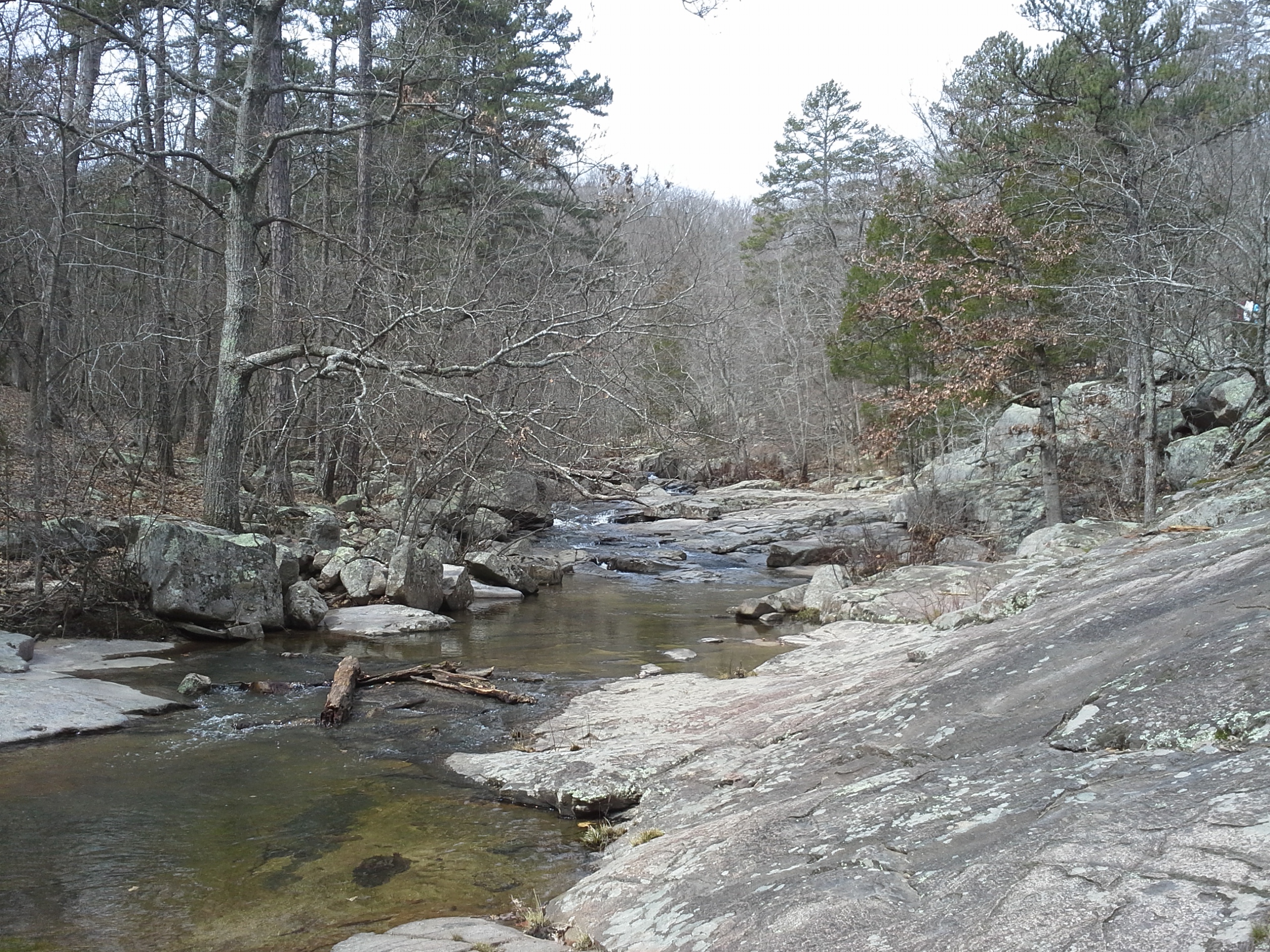
With that in mind, I like to start the hike through the woods by taking the Pickle Creek Trail. This is a trail that is less than a mile long and goes from the parking lot and ends right on the Whispering Pines Trail. It is a bit rugged and rocky at times, but you get to hike right next to Pickle Creek for most of it.
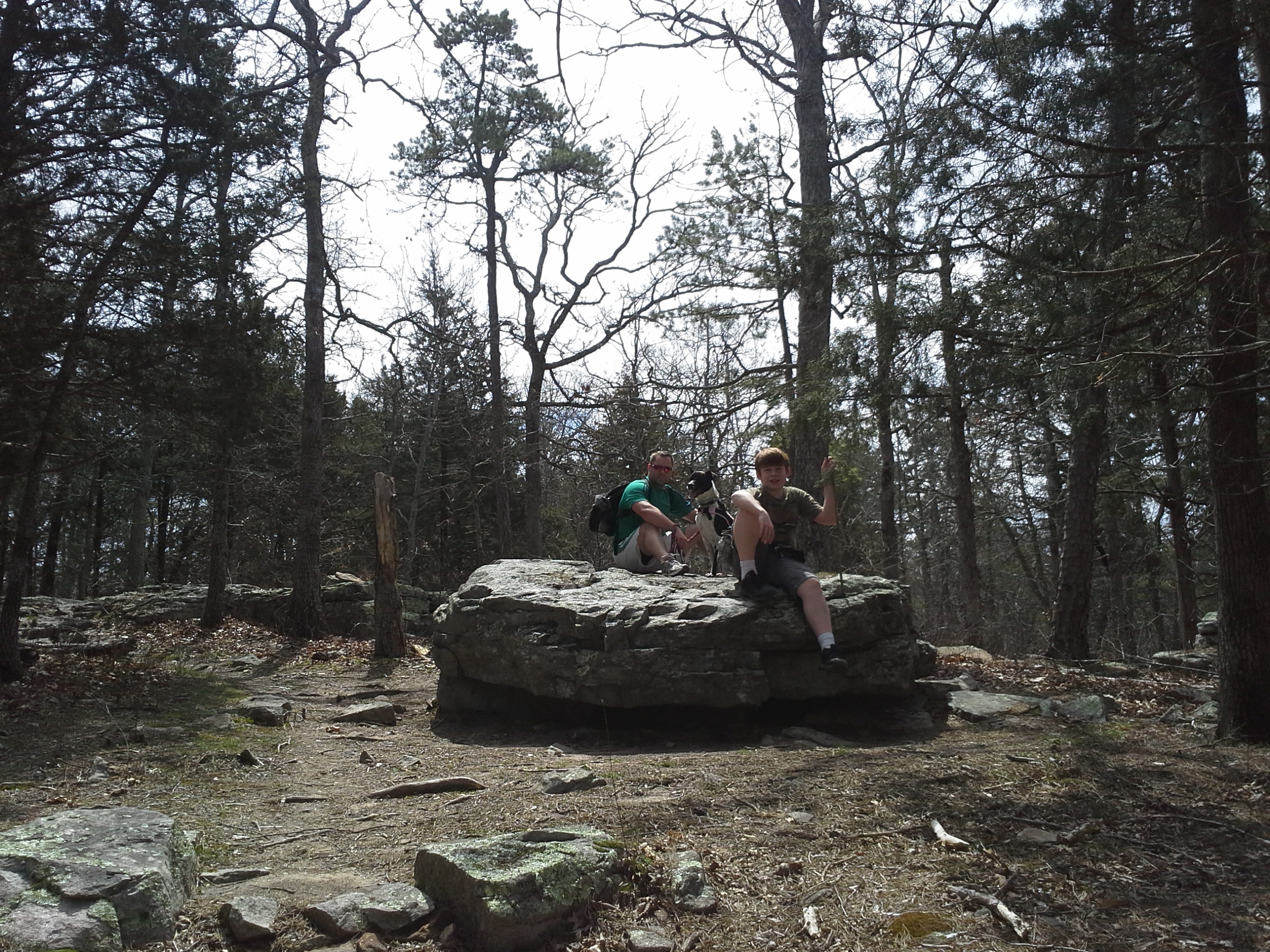
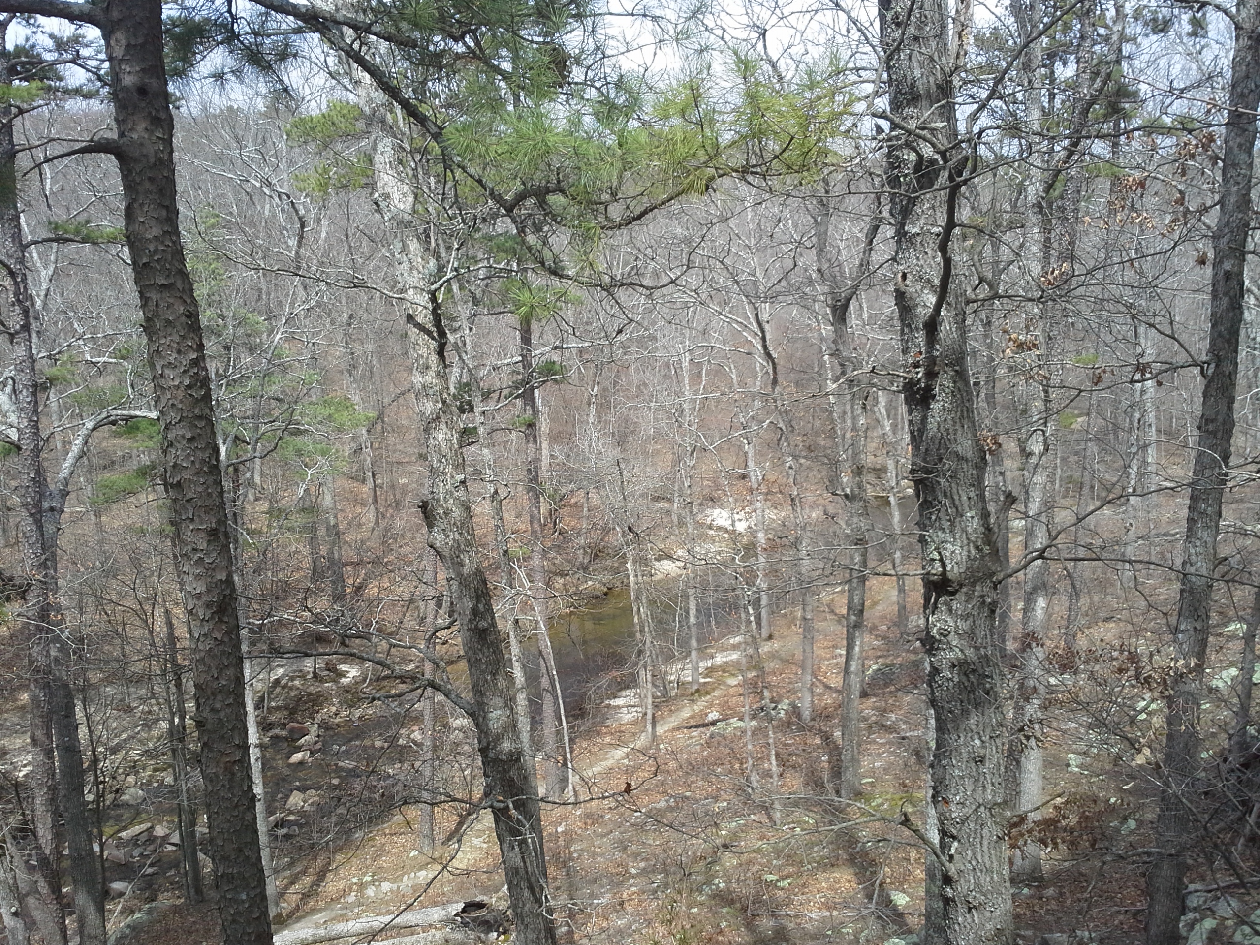
So where it ends, you continue on Whispering Pines, and continue to follow the creek for a ways past some of the taller and more quiet pine areas in Missouri. There is also an established backpacking campsite along this creek bottom section that we discovered. Eventually the trail turns a bit to the left, crosses the creek, and switchbacks up the hill. At the top of the hill is a big rock and we found it to be a great place to eat our lunch.
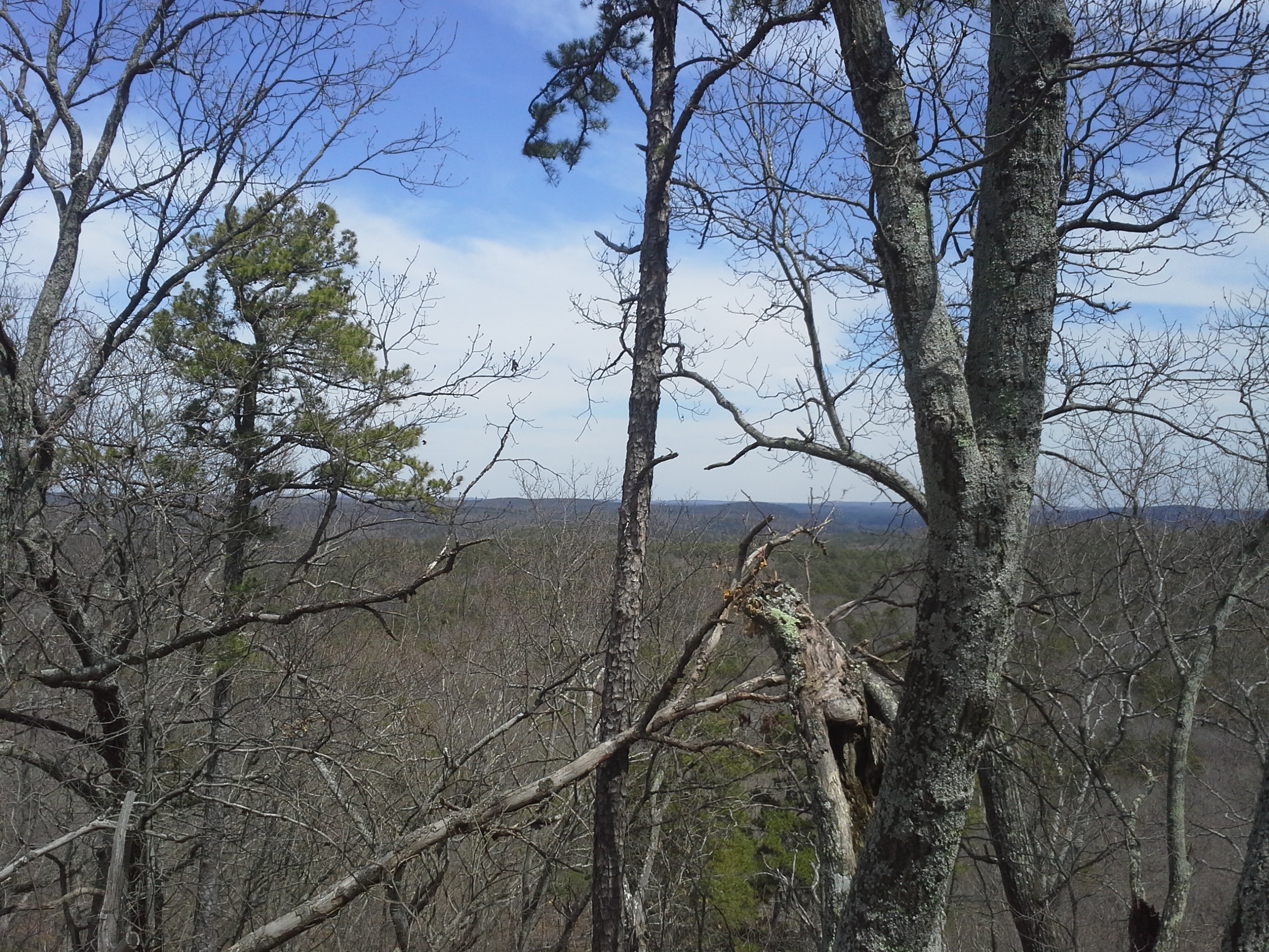
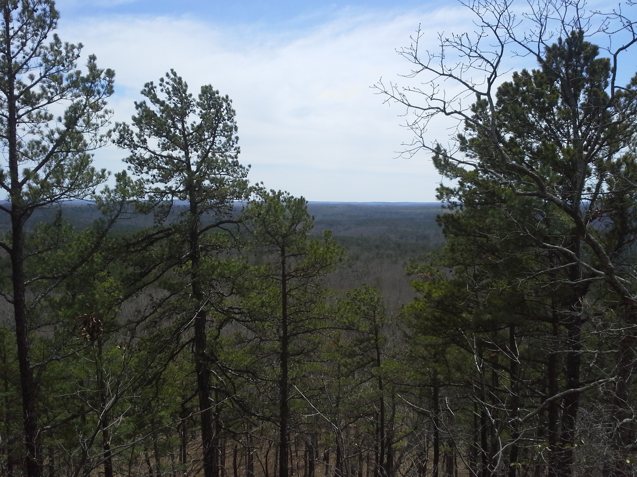
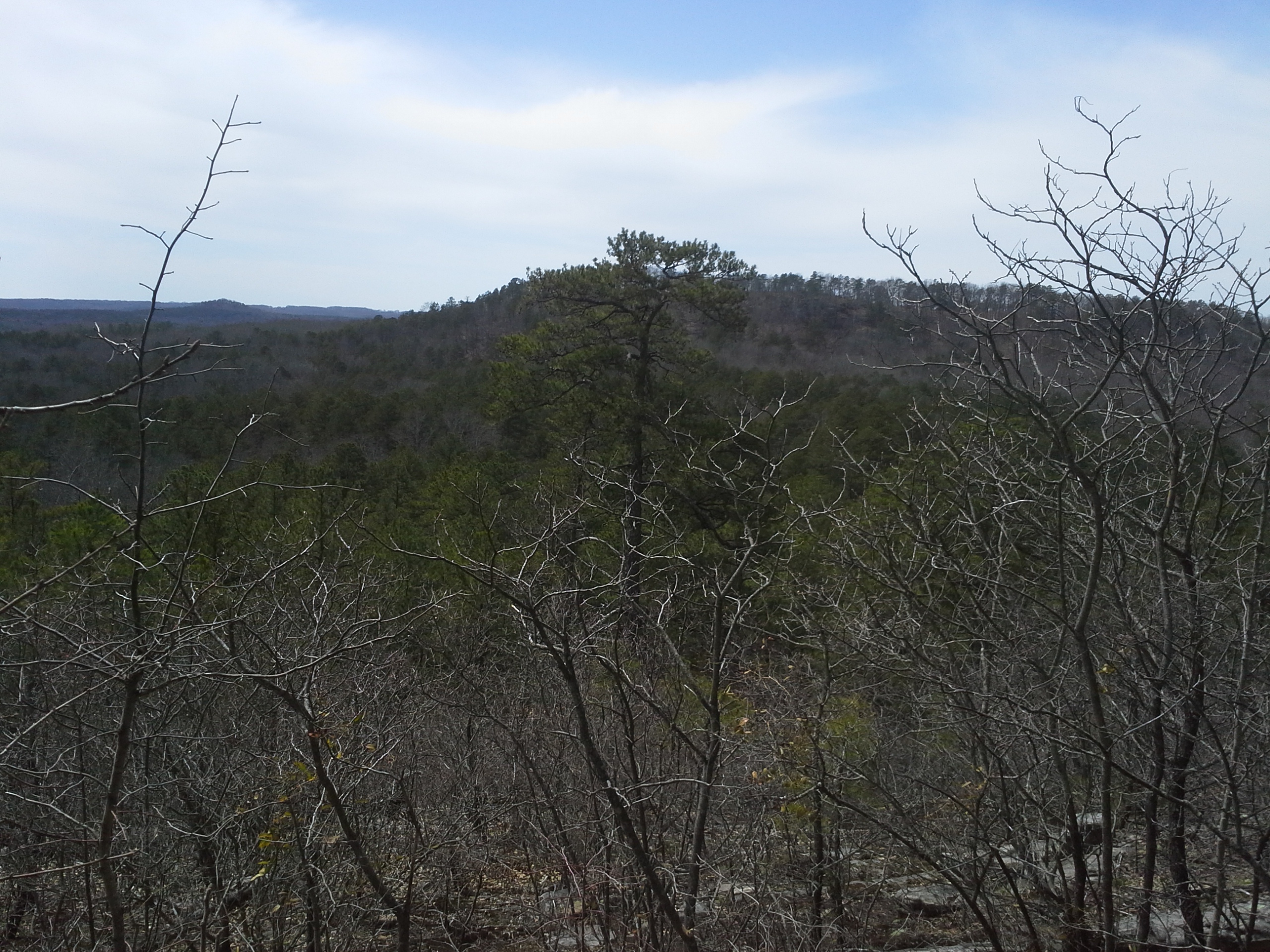
The trail then meanders a bit up and a bit down as it moves along through the wide upper forest of the mountain. Eventually you come to the cutoff trail back to the parking lot, on your left. Along this trail back, there is another campsite for those making an overnight out of it. If you continue on the northern loop, the trail follows the ridge as it narrows to the highest point of the trail. This would also be a good place to take a break due to the ability to see the treetops all around and the hills reaching out for miles. Very scenic.
You then follow the ridge back down the other side and it makes it’s way in a steeper, rocky descent. There is a healthy amount of up and down on this trail, and this is probably the most challenging part. As you get to the valley below, the trail turns to the left and you walk past the junctions for the southern loop. Seeing as we were just day hiking, we opted to stay on the northern loop instead of going the whole ten miles. As far as I know, there are at least two backpacking campsites on the southern loop, and you walk alongside the River Aux Vases for some of it. One of these days I will load up the external frame backpack and head down there to see it all.
Buuuuuuuuut, we were just going for the 6 miles this time.
So the trail moves through some rolling up and down areas, and curves back around to meet up with Pickle Creek, right behind the campground where we usually stay. It then heads back into the forest, up a taller hill, turns to the right, and follows a watershed stream down to the creek and back to the parking lot.
Why I like this trail:
Who doesn’t like the ambiance of a pine forest? Most Missouri forests that I have spent time in are a mix of cedar and hardwoods. Maybe if you’re from the southeast, pine forests are old hat. I think they have a distinctively calm and mystical feel to them. With the canopy creating a roof way up above you, and a lack of thick underbrush on the ground around you, it feels like almost a natural cathedral at times. And the scent of the pines on a warm day is always a nice olfactory reminder of where you are on the map.
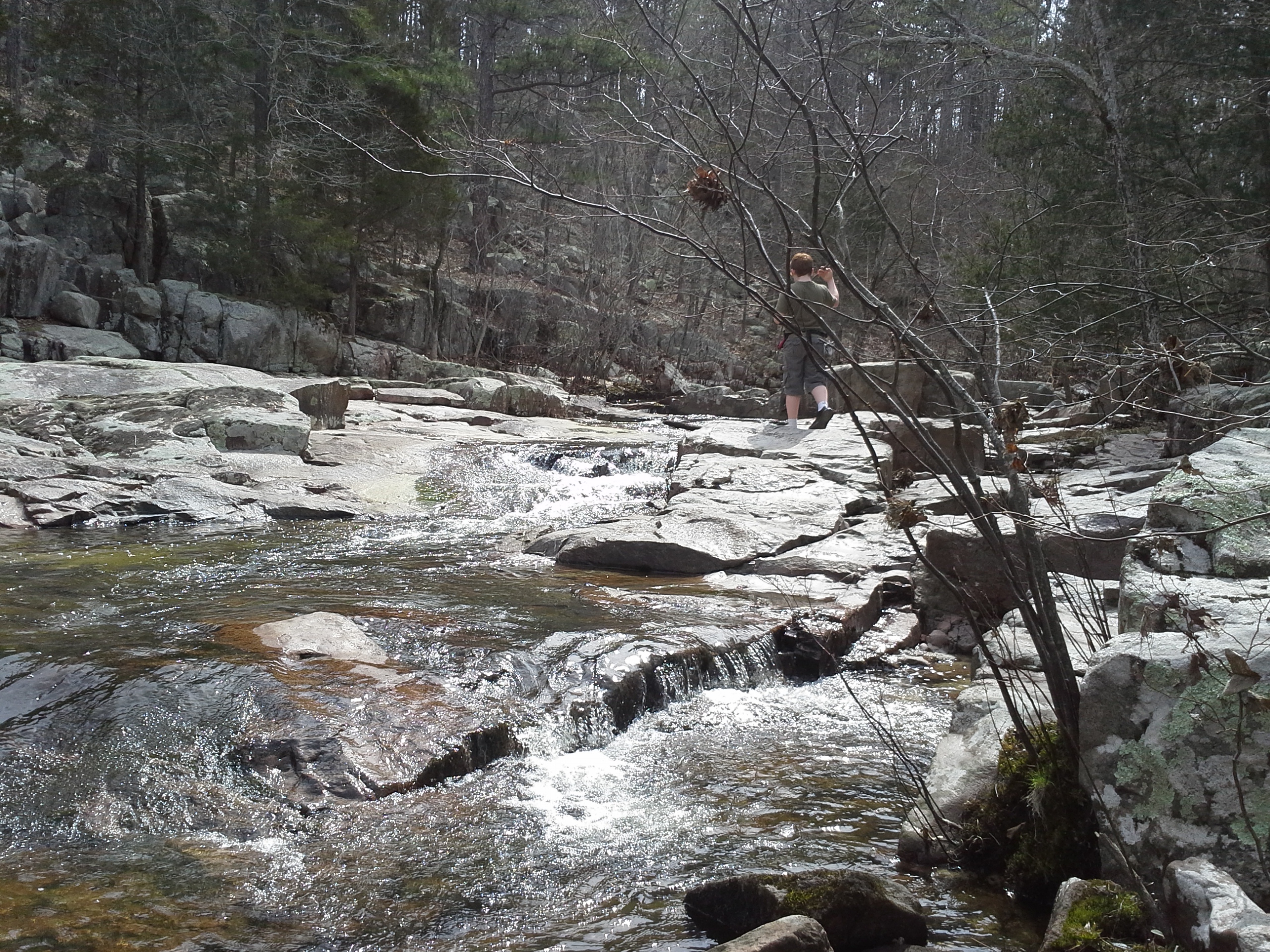
Pickle Creek is gorgeous. Clear water flowing over the exposed rocks. Little water falls and movement all over the place. I like to say that the best trails have a water feature, and this is one of the most picturesque. After you hike this one, go check out the Pickle Springs Natural Area nearby.
There is a lot of diversity to the makeup of the forests on this trail. From pine to hardwood, bottoms to scenic hilltops, rocky sections to soft loamy paths, this trail has a lot going on and a lot to see.
What you need to know:
As happy as I am to see other people out there enjoying our Missouri forests, there were a LOT of people on the trail. I can definitely attribute it to the beauty of the area, but if you are looking for some isolation, hike this one in the winter.
The parking lot is too small and it can be a challenge to find a spot near the trail head. It is certainly a popular park. Don’t let any of this deter you from checking it out though. This is a great park to visit.
I would say this is a “Moderate” trail, mostly due to it’s length and some of the up and down. Totally worth seeing however, and you don’t have to hike the whole thing.
So it turned out to be a great hike and we got some good time in the forest, surrounded by nature. Next time I visit this trail it will most likely be a trip where we’re staying in the campground, or overnight backpacking to the river. Can’t wait!

I lived in the Farmington Mo. area for the first 38 yrs. of my life, and I can attest tot he beauty of Hawn State Park trails! I now live in Northeast Mo, but still have fond memories of our hikes at HSP. Thanks for sharing.
You are very welcome, thanks for checking it out! I love the forests around Farmington, and that whole area, the St. Francois Mountains and the Arcadia Valley. Beautiful countryside and wilderness, or as a former coworker of mine who lives in Bonne Terre used to say, “Good earth, good people!”. And Hawn really is a gorgeous place, and so close to so many people. Again, thanks for checking it out!
I really enjoyed your description of the trail and wish I was on it right now. Another trail nearby I would recommend is the Pickle Springs. It is about a three-mile loop and offers such features as a double arch and a great scenic overlook. it has been a while since I have been there, so would like to see some current photos and descriptions. It should be nice right now with the redbuds blossoming and dogwoods too. Stay on 32 until you get to AA and turn left if you are coming from the east, right if you are coming from west and look for the signs.
Thank you! I am very familiar with Pickle Springs, the last visit being just this past September. I t is a cool area, but I haven’t yet taken any really good pictures of it since I started this site. I have been trying to get pictures of places and then post about it, taking the pictures with a more aesthetic frame of mind so that they can be used more effectively. Thanks for the suggestion, that is a great one!