
The Edge over Establishment Creek. Magnolia Hollow Conservation Area 5/24/2015
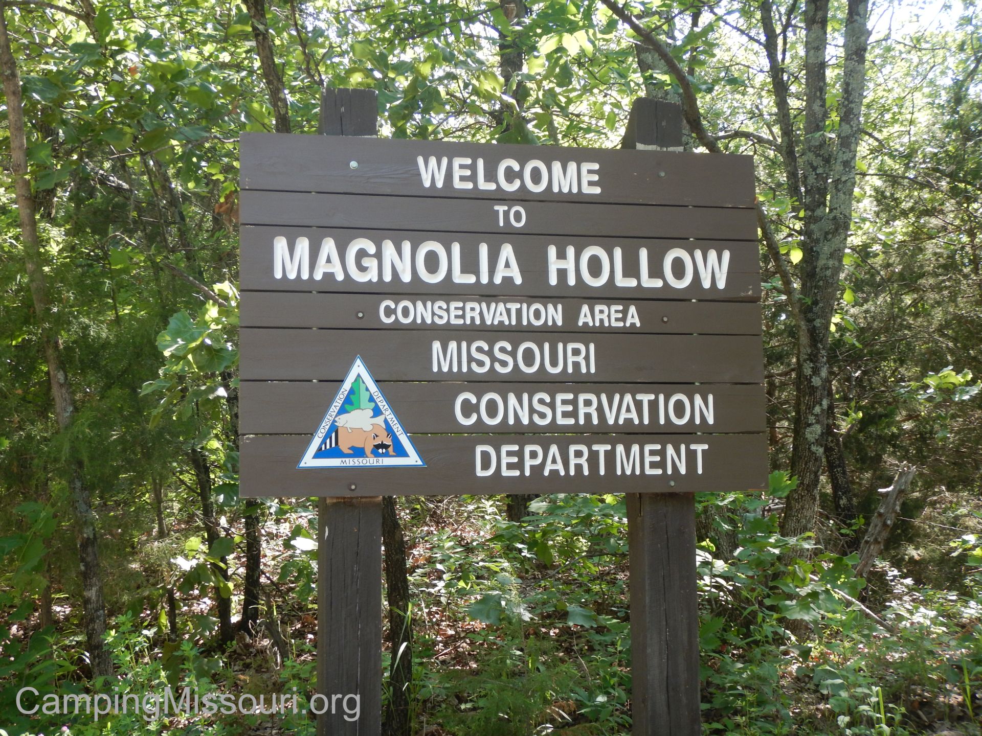
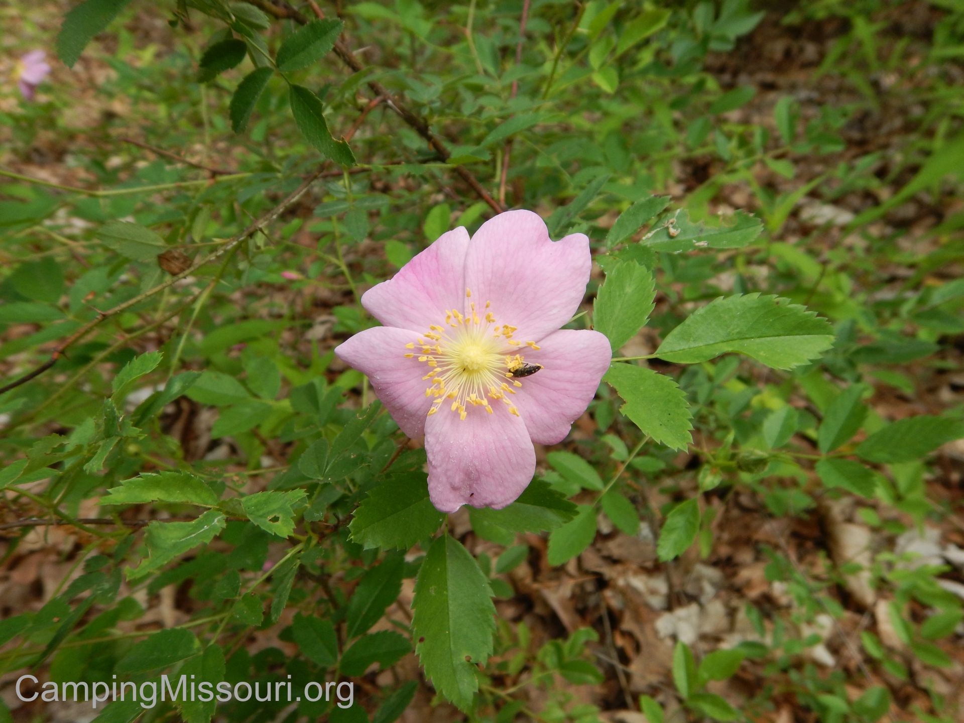
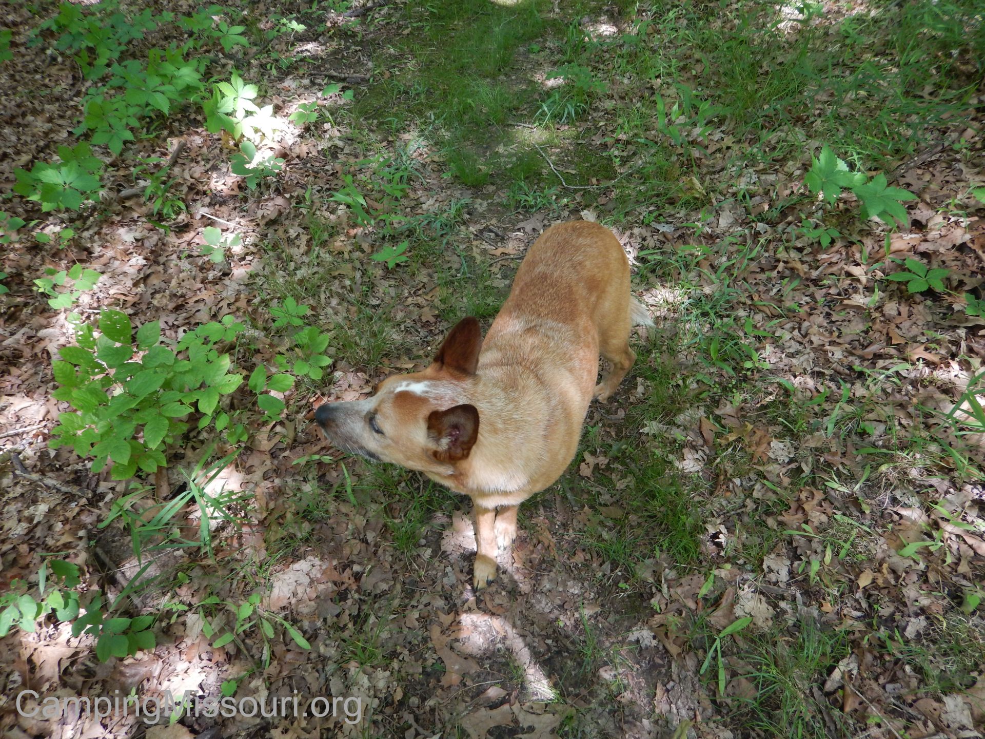
 On a breezy Spring morning, Max and I were looking for a place to go hike at that we had never been to before. A coworker of mine had mentioned a place just north of St. Genevieve, MO near the Mississippi River that he is familiar with called Magnolia Hollow Conservation Area. It has over 1700 acres bordered on its north edge by Establishment Creek, and is home to the Brickey Hills Natural Area, a great example of the hardy timber species that can make their home in the sharp hills along the Mississippi River. I grabbed my hiking pack, and Max and I headed down the road to check out the view.
 How to get there:
From the interchange of 270 and 55 in south St. Louis County, take Interstate 55 south about 40 miles to Bloomsdale, MO. At Bloomsdale, take exit 157 and make a left (east) onto Route Y, crossing the bridge over the interstate. After just half a mile, make a right (south) onto US-61, and take that for about a mile and a half to Bodine Rd/Route V. Make a left (east) on Bodine Rd/Route V and go down across the valley about a mile to North White Sands Rd. Make a left (north) onto N. White Sands Rd., and take it about 6 miles through the valley, winding around the hills and up into Magnolia Hollow Conservation Area.
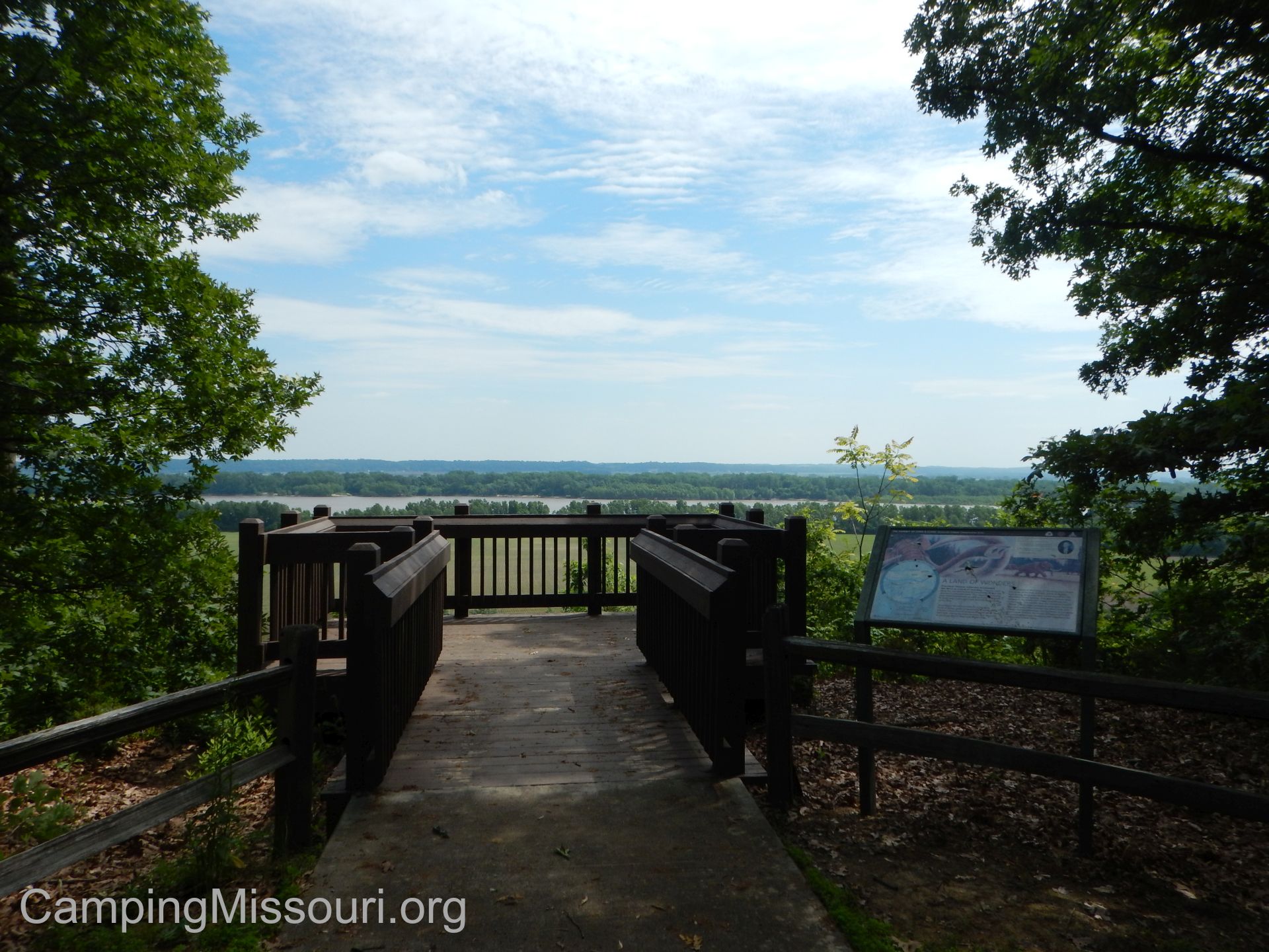
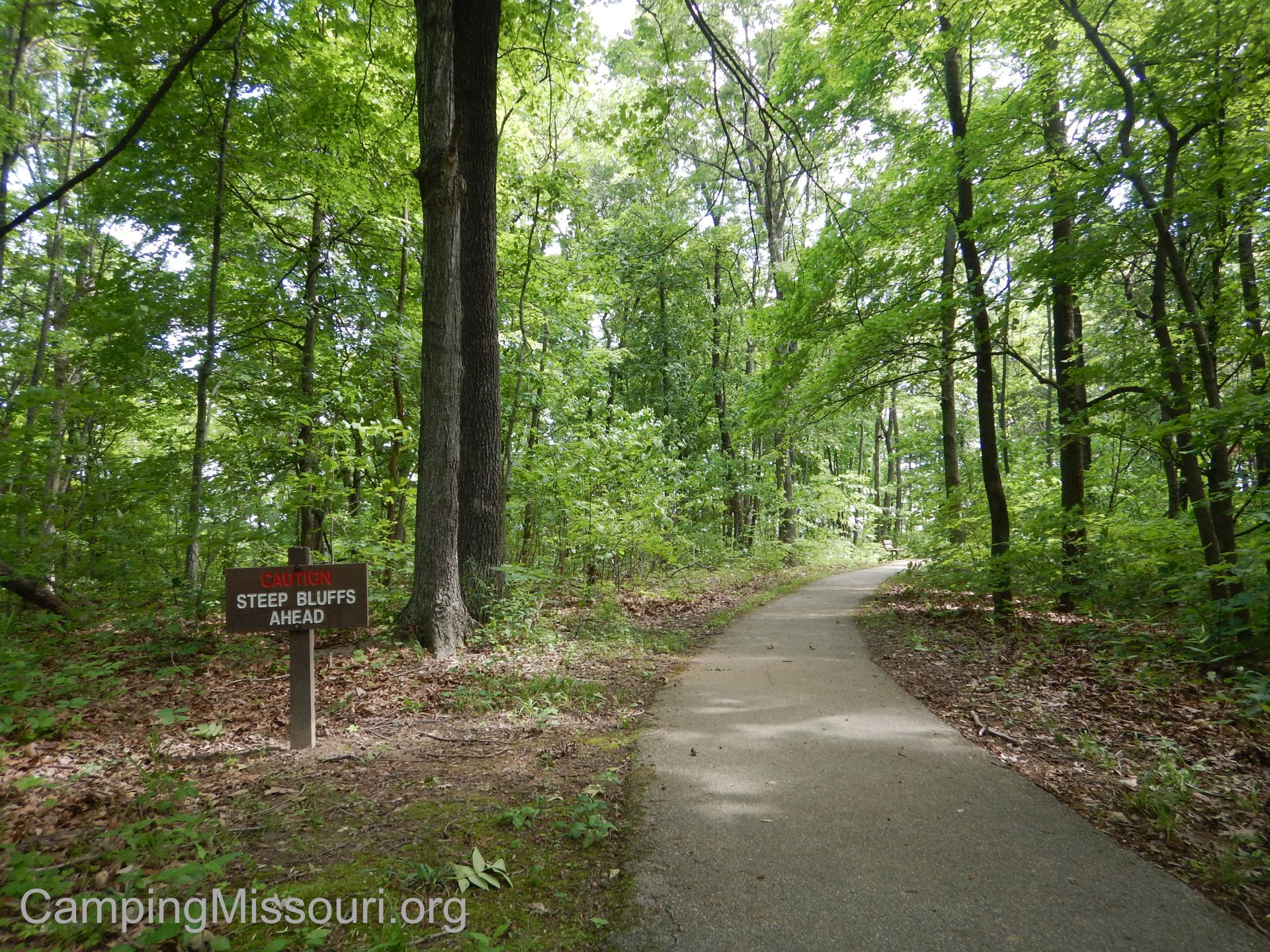
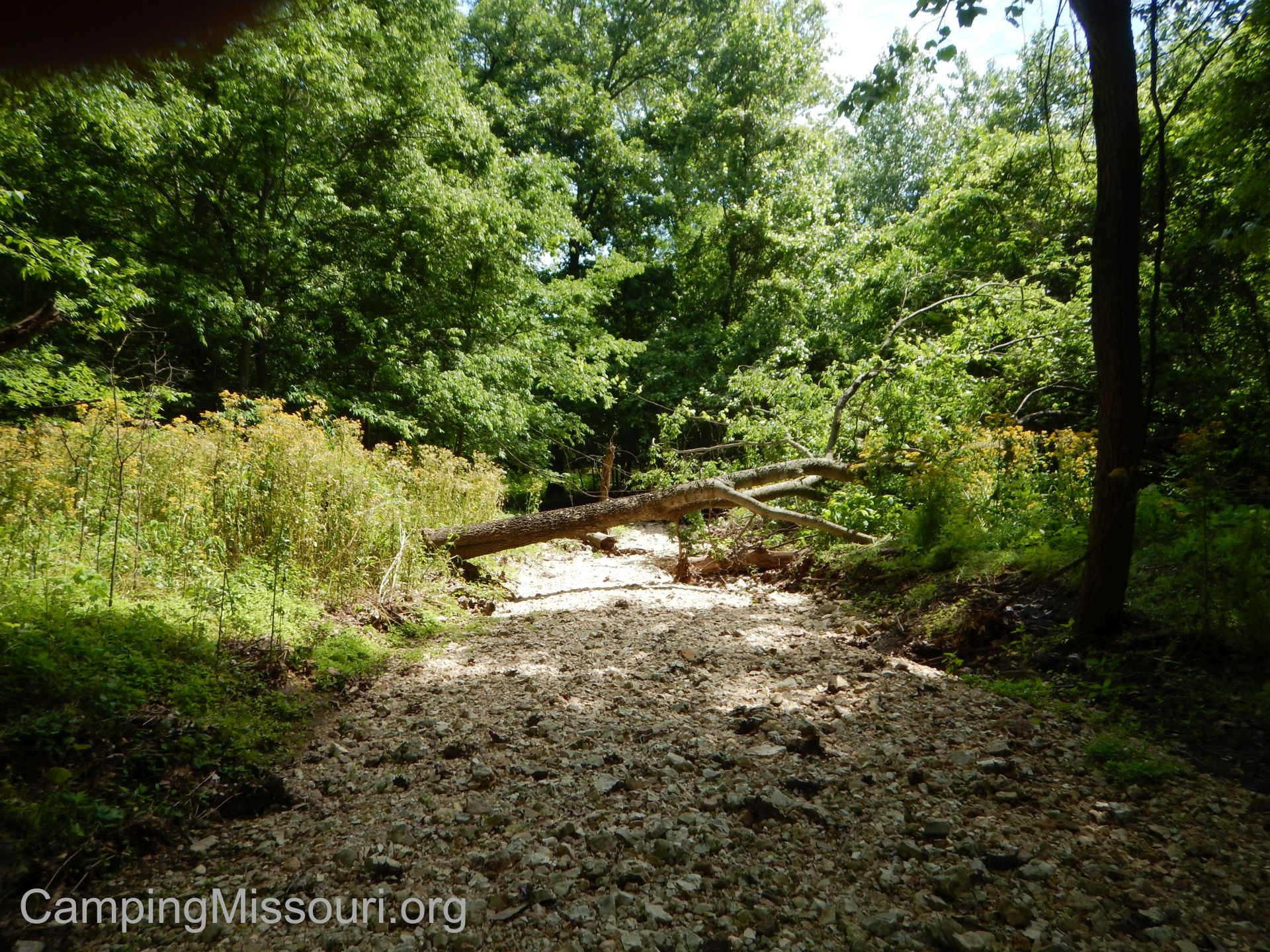
 Stay on the gravel road all the way to the parking lot at the end, and that is where the trail to the overlook is. It is paved and probably just over an eighth of a mile to the deck on the edge of the bluff. From the overlook is the trailhead of a 1 mile hiking loop. The hiking loop heads southeast along the bluffs toward the Mississippi, eventually turning a bit to the right and heading down into the hollow. Near the bottom, a trail heads to the left toward Establishment Creek, but the main trail continues to the right and down to the wet weather creek bottom. For a very short stretch it follows the creek bottom, and then quickly starts to climb back up the hill. There is a steep section, transitioning quickly to a more subtle ascent, which eventually takes you back up to the overlook trail and out to the parking lot.
 What I like about this area:
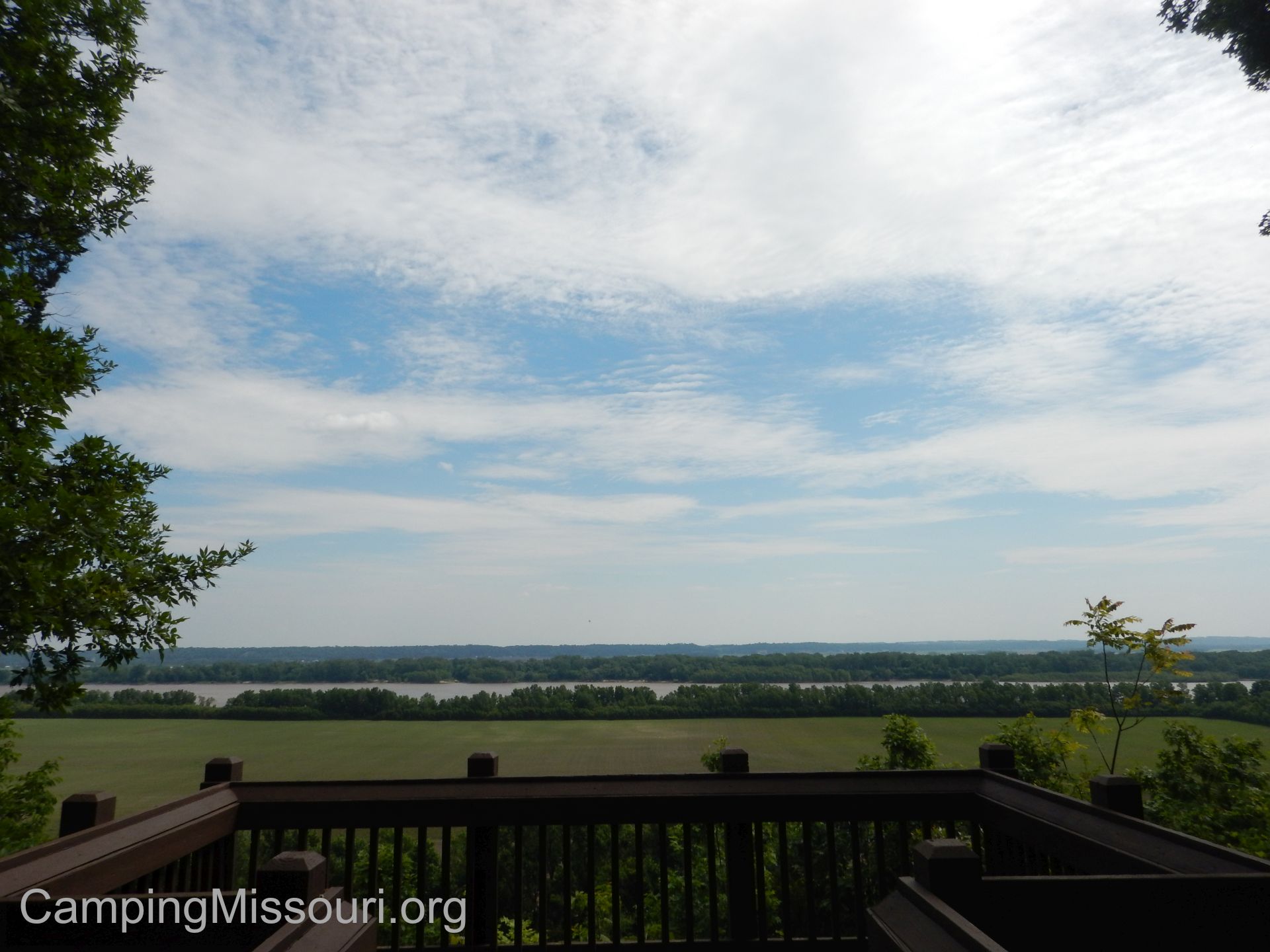
Living within a short car ride from the mighty Mississippi for years now, I always appreciate a new bluff overlook to check out. This one is set back a bit, but still offers a wide view of the great river and the landscape it has spent millennia smoothing over. Below the bluff is Establishment Creek, which is deep and green, and I would imagine that in the winter the view is even more spectacular, once the leaves and brush have fallen and the bluff is opened up a bit more.
 The overlook is handicap accessible from the parking lot to the guardrail on the deck itself, including the park bench at the overlook, which makes this a great spot for anyone to bring a picnic lunch to enjoy on top of the bluff. Thank you to the Missouri Department of Conservation and their willingness to accommodate nature enthusiasts and hikers of all stripes.
Something that I really enjoyed was the drive in along White Sands Rd. It follows the base of the hills on the southern edge of this creek valley, dipping in and out of the forest as it parallels Establishment Creek here and there, passing along expansive farm fields as it makes its way out to join the Mississippi River. A journey that is really picturesque, where I find myself asking how these people got so lucky that they get to live in such a beautiful place. The sort of road that you feel some disappointment when you reach the end, wishing that it would cut around another curve and you could continue further on this gorgeous little country trip.
 What you need to know:
This seems like the area that gets busier during deer season. With trails that access the acreage beyond just the overlook trail, it has a lot to explore. Please be mindful of when popular hunting seasons are so that those who partake may be able to do so without hikers walking through, spooking the game.
 I was really hoping for a chance to get near Establishment Creek, but there wasn’t any reasonable access to it. At the bottom of the trail there was a spur trail that had been cut through, but it was inundated with Poison Ivy, so I wasn’t about to go tromping through.
The loop trail coming off of the overlook that we hiked is an established trail, but it wasn’t very well marked in a couple spots. Most notably toward the creek bottom, I could see someone going over to the dry gravel waterway to explore a bit, and then having a hard time finding the path back up the hill. Keep your eyes peeled and don’t stray too far.
 All in all, this was a nice little excursion, introducing us to a tributary of the Mississippi River that we hadn’t known already, and giving us another view of the massive waterway, after a very pleasant drive to it. There is surely much more to explore there, and I know that Max and I will return to see what other adventures live within the depths between the river hills of the Magnolia Hollow Conservation Area.

Trackbacks & Pingbacks