
Where Hiking Trails Come From, Part One. The Ozark Trail Association 2015 Spring Mega-Event
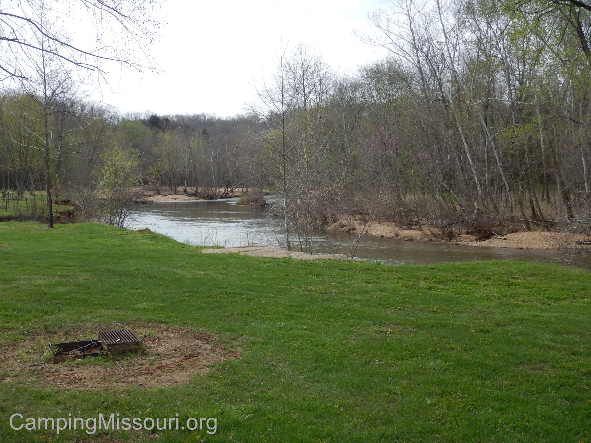 Well Spring is upon us, and many weekends are starting to become filled with adventures into the woods and out on the rivers as nature wakes up from its Winter nap. I have been getting out as much as I can, with my past few excursions being either walks in the park with Max and our new dog Norton, or Missouri Stream Team cleanups with a bunch of great people. It has been a little while since I’ve spent time on a proper trail, so on a recent weekend I did something that every hiker and outdoor enthusiast really ought to get involved in. I went camping out at Bass River Resort with the dedicated volunteers and staff of the Ozark Trail Association for their Spring “Mega Event”!
 What is the “Ozark Trail”?
On the history page of their website, it states: “In 1977 a group of public land managers, trail users, and private landowners met to discuss the concept of a long-distance trail that would traverse the Missouri Ozarks.” Turns out that (the year before I was born), a bunch of Missourians got together to plant the seed to start growing the hiking trails in our state, focusing on a long distance route that would go through some of the prettiest and wildest areas in Missouri. Working independently on their agreed sections, these hiking advocates built and maintained their designated paths in the hopes that they would be joined over the course of time to create a thru-hiking trail (possibly from St. Louis all the way to Arkansas) that could also be visited and accessed by people just wanting to day hike, backpack a night out in the woods, or spend a few weeks on a path. The Ozark Trail was born through the shared vision and partnerships between people interested in creating opportunities for anyone who wanted to, to spend more time in the Missouri wilderness. But it still had some growing to do.
 So in 2002, the Ozark Trail Association came into being. It is a “non-profit volunteer group dedicated to the construction, maintenance and promotion of the Ozark Trail“. Through their coordination and efforts, a completed Ozark Trail is steadily been becoming a reality. Over the years of trail building events and advocacy, as well as public relations and educational programming, the Ozark Trail is currently at almost 400 miles through Missouri, creating many opportunities to get out and on a trail near and through some of the prettiest forests our Ozarks have to offer.
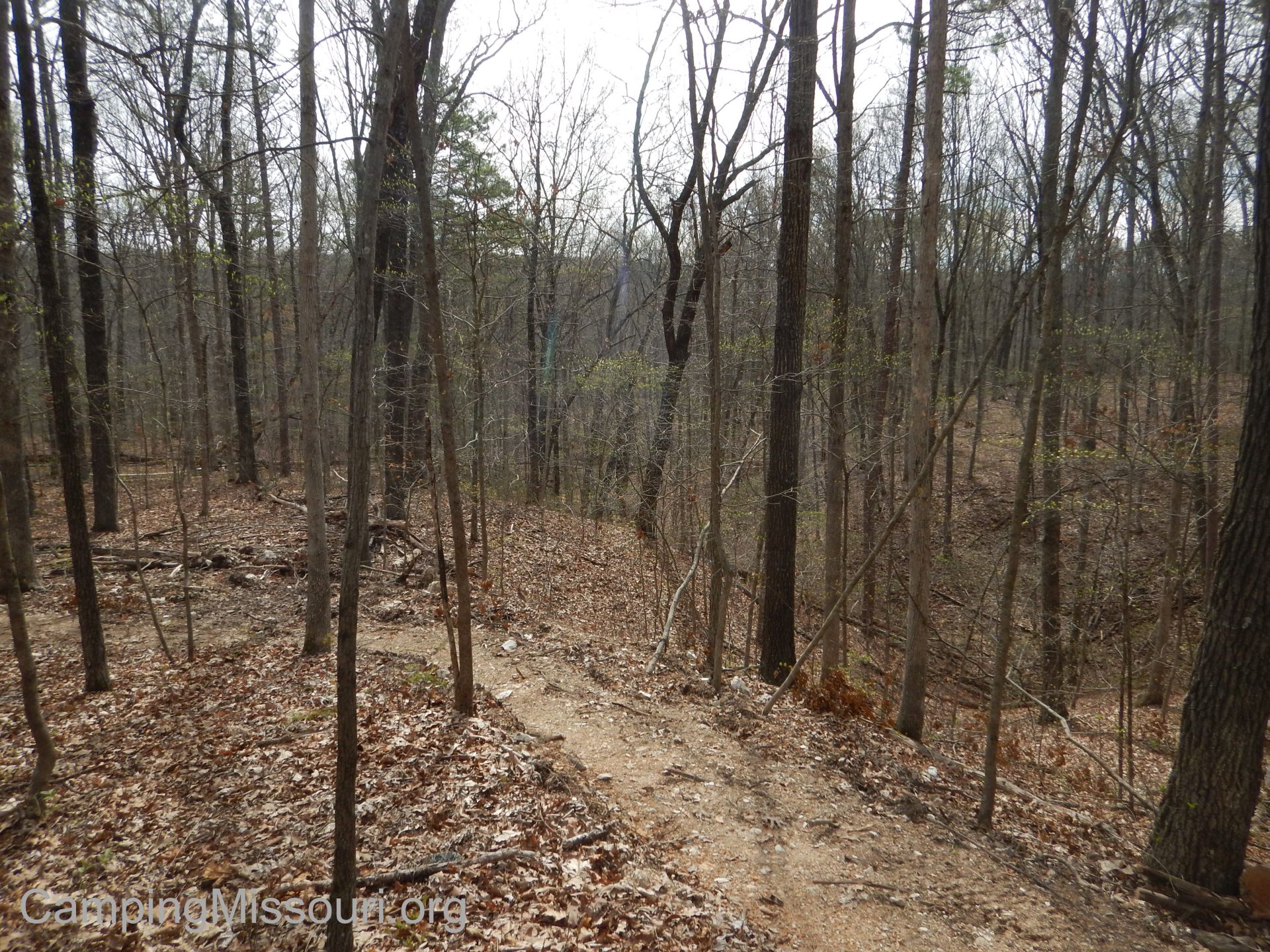
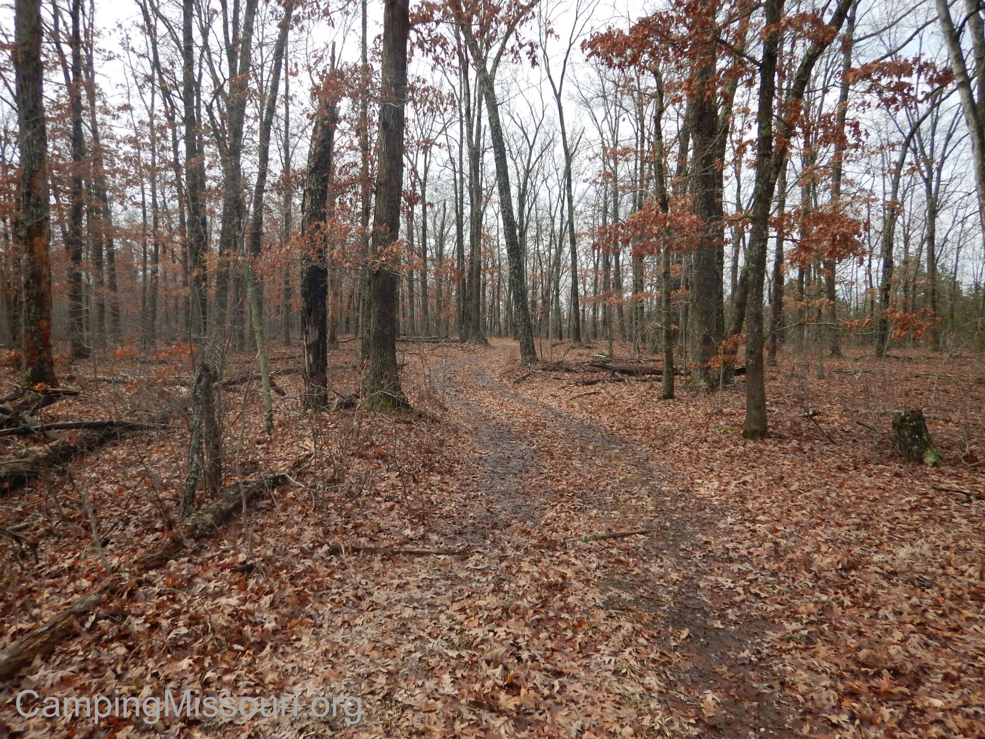
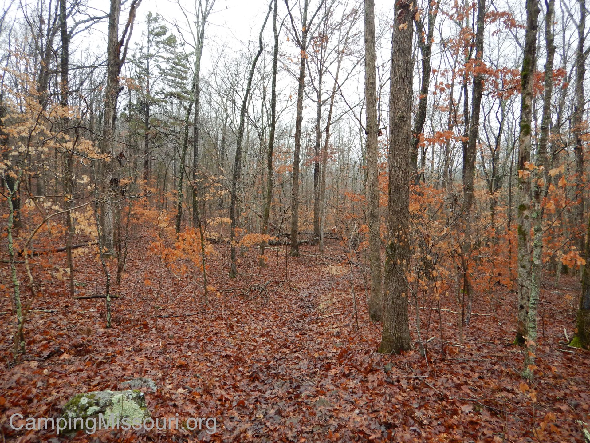
Now the OTA has trail building and maintenance events all the time, but they only have Mega Events twice a year. The weekend of THIS Mega Event, we were going to be working on a mile of reroute on the Berryman Trail. The Berryman Trail was constructed in the 1930s by the Civilian Conservation Corps, and is a 24 mile loop in the Mark Twain National Forest between Potosi and Steelville, MO. It is a favorite of hikers, mountain-bikers, and equestrians, and it shares about 12 miles on its western side with the Ozark Trail. As the OTA has done a lot to maintain THAT part of the Berryman Trail, as the advocates and professionals that they are, they had taken it upon themselves to work to improve the eastern leg as well.
 As I am sure when every Mega Event gets closer, the efforts of staff and volunteers and sponsors starts to really gear up, but the entire process had actually begun more than a year and a half before and involves quite a bit of time and energy put in by the people at the OTA and their partners, including the National Forest Service and The Alpine Shop, among others. For a deeper look into what it takes, Matt Atnip of the OTA was kind enough to share the story, the part that a lot of us don’t even know about, which is what the OTA is all about.
Matt Atnip, Executive Director of the Ozark Trail Association:
“The story of this weekend’s build starts in August of 2013. After beginning work to rehab the East Berryman loop earlier in 2013, it became obvious that some stretches we hoped to correct by adding drainage features were too badly damaged to be saved. Erosion is a trail’s greatest enemy. These segments had been built using old specs that are not as sustainable as modern methods. Between that and a lack of maintenance over six decades, the trail was beyond rehab in areas.
 So in August of 2013, I had some discussions with the Forest Service (FS) about possible re-routes on the east side of the loop like the OTA had completed on the western side in 2012. They encouraged our input so I sat down on Google Earth and started laying down a route based on the intel from our rehab workers and some old scouting reports done by Wilmer Scott of the Forest Service back in 2010. I laid down four miles of re-routes between the Berryman Campground and Floyd Tower Rd. A friend of mine and an OTA Crew Leader and Sawyer, Duan Reese, downloaded the line to GPS units and headed out to flag in the re-route. As usually happens, we ran into a lot of 19 foot canyons that don’t appear on 20 foot graded topo maps. We had to shift the line quite a bit to meet the 10% sustained spec for grade just to get down the first hillside. It was hot, sticky, buggy and then it rained on us. Pretty good day in the woods!
We let the FS know we had flagged the route. Over the next 3 months we flagged in the other 3 miles of re-routes with help from other OTA volunteers. The FS then began their NEPA (National Environmental Policy Act) surveys for possible biological and cultural issues along our route. These are completed by biologists and archeologists working for the FS or under contract with the FS. We were able to get four miles surveyed as the FS is planning a large forest rehab project in the area over the next 10 – 20 years (Floyd Natural Communities Restoration Project). Approvals went through as we were just finishing a 1.2 mile re-route on the Trace Creek section. Great timing!
 Now we could really begin to plan on the ground construction!! But wait…we needed funding. We were fortunate to once again get help from our partners at the Alpine Shop and Patagonia to put with a Recreation Trails Program (RTP) grant issued by the Federal Highway Department and administered by the Missouri Dept. of Natural Resources (kind of a mouthful – stay with me!). The previously mentioned rehab work was funded by a 2012 RTP grant and we used a portion of that to punch in the bench late last fall using a Ditch Witch mini skid-steer.
Aaron Browning from Kansas City did the machine work with the eye of a true trail designer. He is a horticulturist, member of the Professional Trailbuilders Association and runs his own landscaping business in KC. He tweaked the flag line and put in a really spectacular bench. It took about three and a half days to punch in the bench. This design follows modern contour trail specifications – 10% sustained grade – 15% maximum, 30 inch full bench tread outsloped 3% – 8%, corridor 8 foot by 12 foot tall. It eliminates switchbacks and puts the trail experience above the need to get from point A to point B. It flows through the woods and keeps the hiker or rider wondering what is coming up around the next bend in the trail! It reveals itself as you move along.
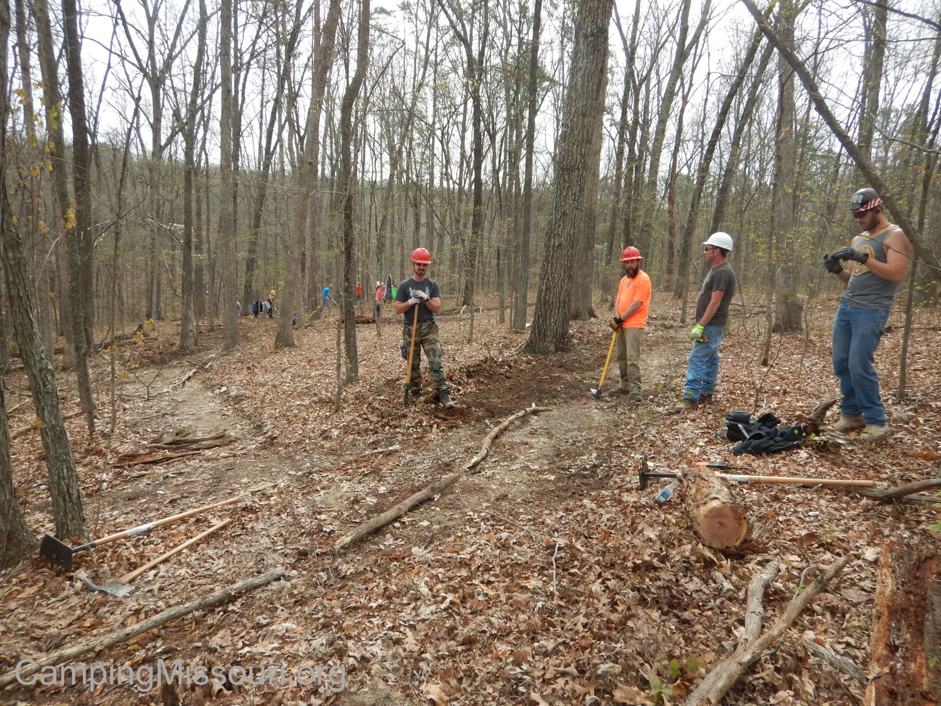 A couple weeks before the outing, a group of Crew Leaders gathered to familiarize themselves with the worksite. The crew sections were measured, final adjustments were made to the line and parking areas were designated. Friday before the Mega, another group came back to put up the crew section signing and lay out the tool caches. Lots of work was done behind the scenes to complete crew rosters and prep registration, gather raffle items, obtain a band, get OTA merchandise on site, prepare a membership and Help Wanted booth, make lunch and dinner arrangements, tool sharpening and arrange camping. I know I am missing something! It takes a lot of folks and coordination to pull off a Mega!”
 A ton of work by a lot of people behind the scenes, leading up to the morning of the Mega-Event. I want to thank Matt personally for taking the time to share so much information about what it takes.
So there we were, pulling into Bass River Resort early Friday evening to sign up for the next day’s trail build. I had a feeling that it was going to be an exciting and very eye-opening experience.
Continued in Part Two…

Trackbacks & Pingbacks