
A Hill To Remember. Beulah Trail, Greensfelder County Park 1/11/2015
 It has been a roller coaster winter already when it comes to the temperatures. Some really sub-freezing days followed by a weekend of unseasonably warm weather. Doesn’t mean a person has to stay inside at all, and on a chilly Sunday morning I drove out to Greensfelder Park to hike with some of the enthusiastic members of “Let’s Hike”, a local hiking group through Meetup.com. It was a group that I had been a member of for a while, but hadn’t really gotten involved with yet. After going on a few group hikes, and messaging back and forth with Kim, the lead organizer, I have started to list on there when I am planning on hitting a trail so that other people are welcome to join me if they want. Today we were going to hit the Beulah Trail, on the eastern edge of the park.
 How to get there:
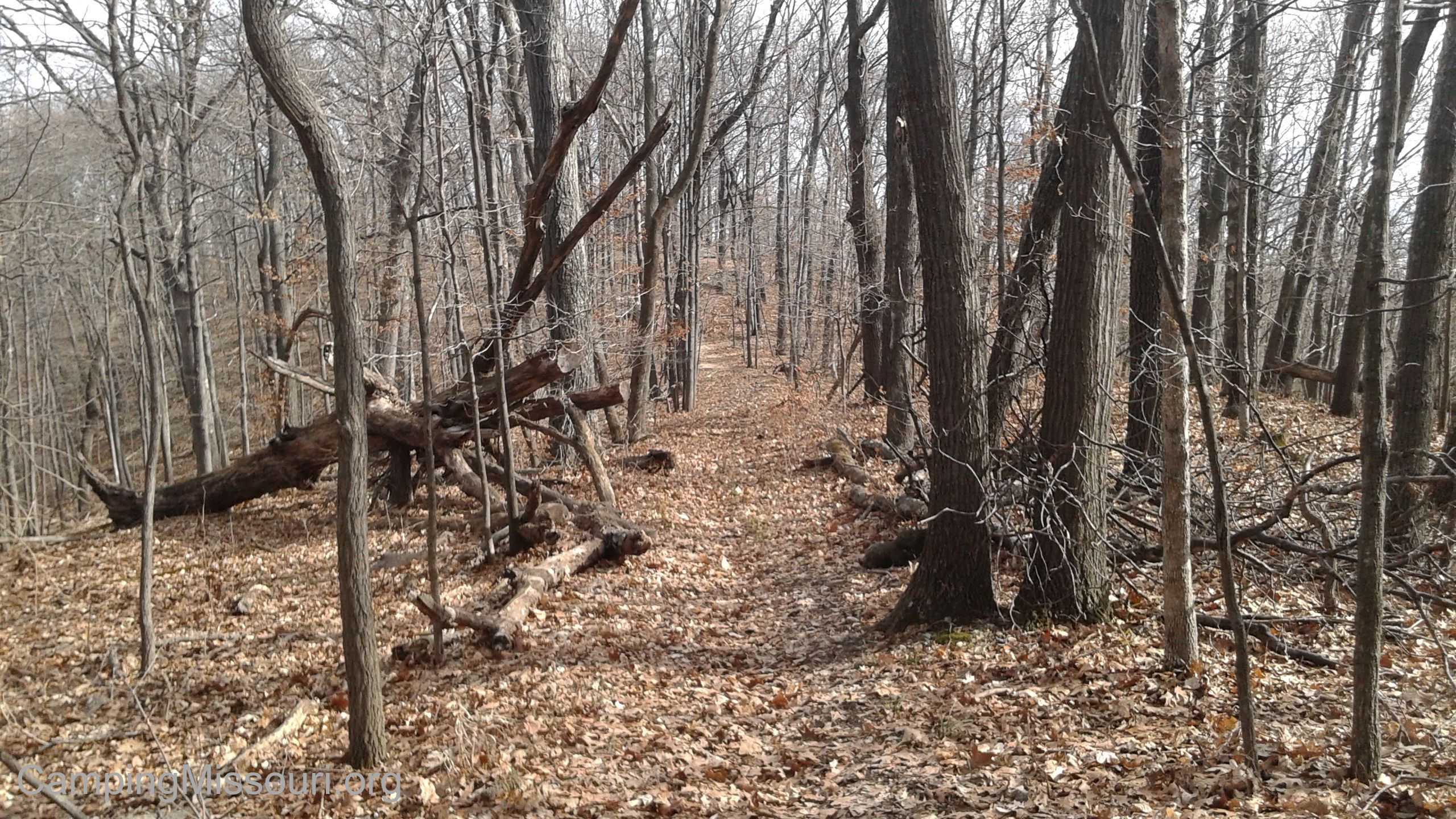
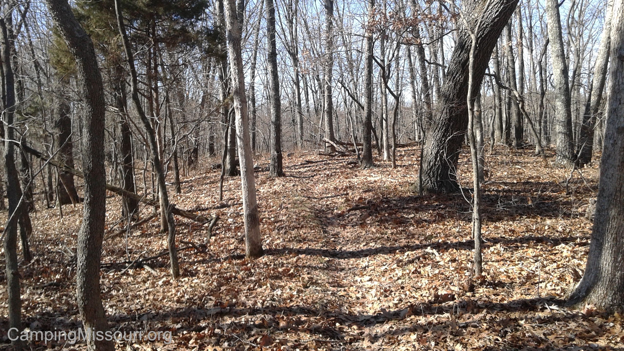
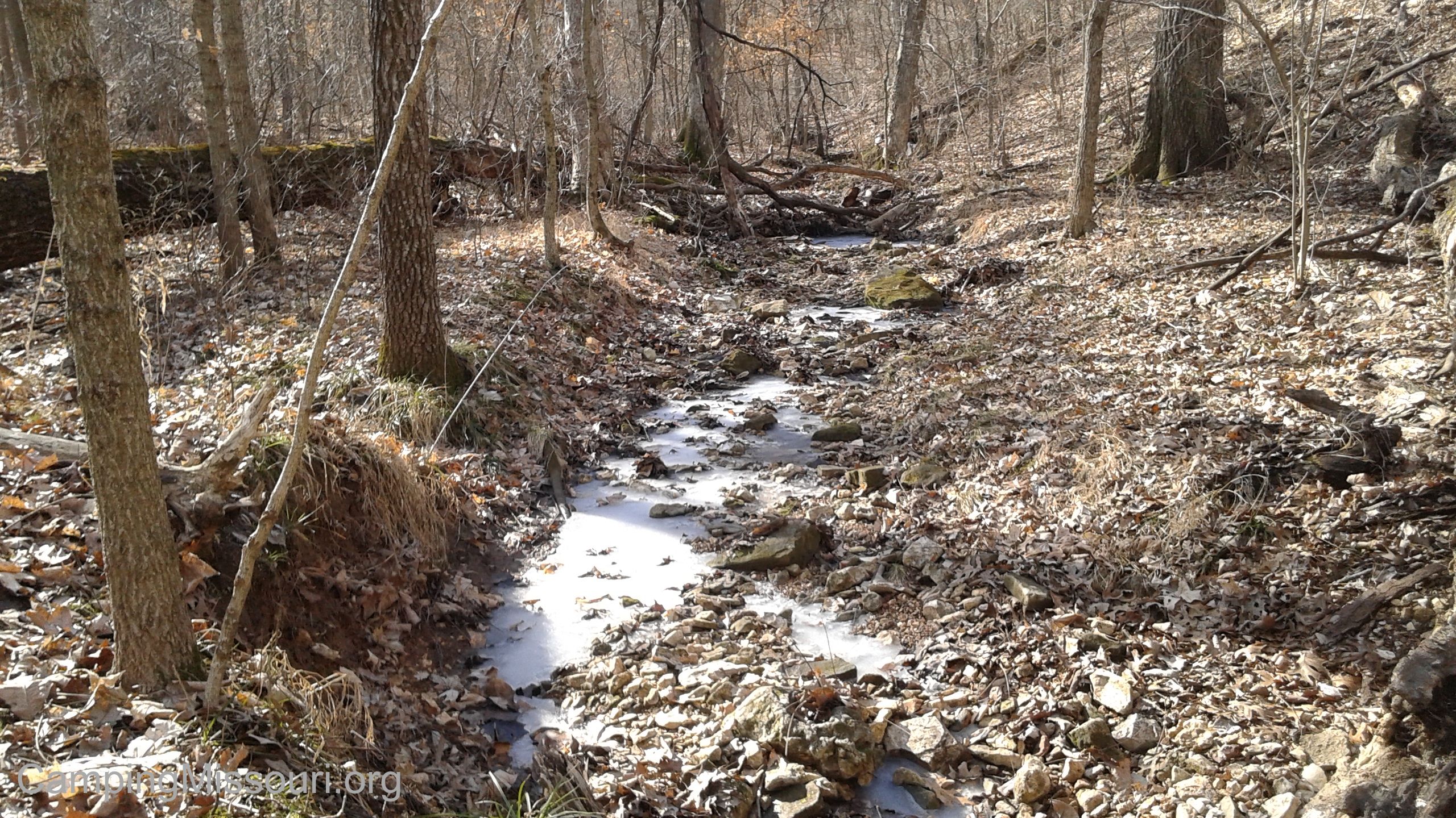
From the interchange of Interstate 44 and 270, take 44 west for about 14 miles, to exit 261 (Allenton Road/Six Flags). Make a right onto Allenton Road, and follow it past Six Flags and into Greensfelder Park. As you near the top of the first hill, there will be a parking lot on the right followed by a road also on the right. This road is the Scenic Loop Rd through the park, and you want to make a right on it. About 3/4 of a mile down the road, there will be a parking lot and shelter on the right, with a sign for the Beulah Trail and Overlook Trail. This is where you park. Taking the trail clockwise, you follow a ridge top for about half a mile, and then start to descend into the valley to your right. It gets a bit steep and rocky, crossing a muddy spot and then coming over a rise before finally landing down in the creek bottom. It then stays in the bottoms for just a bit, winding back and forth across the wet weather creek, before beginning the sustained and impressive ascent back up to the top of the hill. When you FINALLY make it to the top, the trail turns to the right and stays along the ridge top and back out to the parking lot just past the Beulah Shelter.
 What I like about this trail:
Beulah was a mule that was born in the early sixties, and purchased by Ed Bright in Eminence, MO in 1967. Just four years later in 1971, she won the title of “World’s Champion Riding Mule” by the American Donkey and Mule Society. With such a prestigious new designation, she became something of an ambassador for the state, riding in parades and Bicentennial events throughout the midwest. When Ed Bright, whose donations to St. Louis County Parks contributed to the building of equestrian facilities at Greensfelder Park, died in 1979, Beulah was given a home at Suson Park. She lived out the rest of her life there until she passed away in 1998.
 At just 2.1 miles long, it is one of the shorter trails in the park, so this may be the perfect one for you if you want a challenging hike but don’t have all day to do it.
The trailhead for the Overlook Trail is also at this parking lot, so you have options if you want to hike longer and see more of the park.
This is one of the lesser hiked trails in Greensfelder, so sometimes you can enjoy a sense of solitude as you hike, especially when you get down into the creek bottom between two of the more impressive hills in the area. Being somewhat out of the way down the Scenic Loop Rd, it is just on the eastern edge of the park.
 What you need to know:
This trail is home to some of the steeper and taller hills in Greensfelder. Taking the trail in either direction gives you one heck of a climb on the way out, but I tend to think that counterclockwise is just a bit more severe. Certainly a welcome challenge if you are looking to get out and get your blood pumping and your chest heaving, but not so great if you are looking for a leisurely stroll in the woods.
 There has recently been some trail construction going on in the area, and some of it crosses the Beulah Trail. One of the results of this is the potential for heading off on the wrong trail, up on top of the hill, and finding yourself a mile away from your car before you realize the error. This is one trail with which to familiarize yourself with the map. Note which direction you ought to be heading in at different points, and approach your hike with a knowledge and awareness that will get you back to the parking lot.
This trail does have some muddy spots, especially down in the creek bottoms. Unless we have had a long dry spell, expect it. Watch your step and take your time.
 I have hiked this trail before with my kids, so it isn’t the most challenging trail…but that hill is one that doesn’t soon leave your mind, as well as the ache in your legs and the emptiness in your lungs. A truly noteworthy angle, traveling both up and down it, and overall a life-affirming and worthy hike through the steep eastern hills of Greensfelder Park.

Hi, I’m Annemarie and me and my son just hiked Beulah after missing it for a few years….I didn’t see the descending hill into the valley and creek and steep climb back up as I remembered. I’m wondering did they reroute Beulah or did I go the wrong way? Appreciate a reply, thanks.