
The Depth of the Hills. LaBarque Hills Trail, Young Conservation Area 12/24/2014
How to get there:
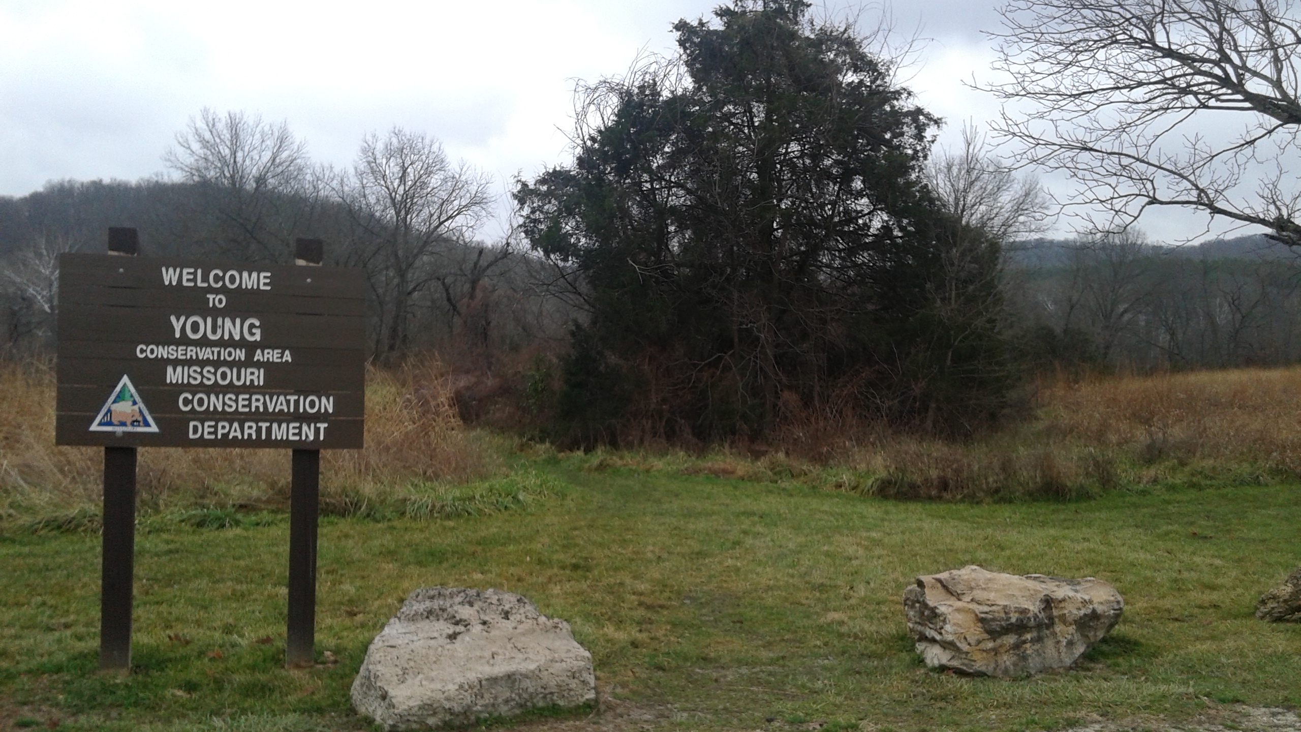 From the interchange of Interstate 44 and 270, take 44 west toward Eureka for about 11 miles. Exit at Route 109 (Exit 264), and make a left to go under the highway and head south on 109. After just about 2 miles on 109, make a right at the “T” intersection and head west on Highway FF. After about 3 miles on FF, the main parking lot for Young Conservation Area will be on your left.
 From this parking lot, there are a couple of trail options. One trail heads down the hill from the parking lot past a little fishing pond to LaBarque Creek and then loops around and meets up with the main trail. That main trail leaves from the northwest end of the parking lot and parallels FF back the way you came for about a quarter of a mile. It then turns left, dips, and comes up a slight rise. It then meets up with an access road that goes down the hill toward LaBarque Creek where it crosses the only bridge in the area. It passes through a field on the other side of the bridge, and then curves toward the creek. It takes you up along the side of a hill, passing next to a forest restoration area while moving away from LaBarque Creek. Then down the hill into a bottomland forest where you follow a little tributary that feeds out of the hills.
 You will pass the Taconic Loop Trail on your right, and it eventually forks where the LaBarque Hills Trail begins. Max and I took the left fork, turning to the east. The trail meanders along one of the wet weather tributaries, darting away and back again as it makes its way through these foothills. After about a mile on this loop, it crosses the stream one last time and then takes a serious turn upward. Climbing the hill, you eventually rise just next to an area that has seen a bit of wind damage recently. It heads downhill for a moment, and then takes a healthy turn upward again. It is an impressive climb, overall. When you eventually get to the top, at stays along the ridge, curving slightly to the west. When it turns sharply to the north, that is when you begin a descent that is steep and direct. After the main downhill part, it curves a bit, and puts you down in the ravine next to the other wet weather tributary which leads to where the LaBarque Hills Trail split at the beginning. You stay with this stream, crossing here and there, before finally coming back to the start. Then it is just about a mile back to the parking lot.
 What I like about this trail:
When you finally get back in there to the southernmost point on the trail, waaaaay up the hill along the ridge, no pictures or descriptions adequately convey the immensity of these woods. Couple that with the openness of the forest in wintertime, and you feel small, like a dot on the map. It isn’t the grandeur of the peaks in the Rockies, but it is what we have here in Missouri and it is pretty cool to experience. To look out through the trees across the breadth of hillside reaching down from where you stand, it isn’t a feeling that you get from a lot of trails around. Take your time and let it soak in a bit. And then to get down the mountain and hike along the stream across from the broad hillside where there has been some (prescribed?) burning this past year, it really invokes a striking sense of depth and perspective that we don’t have that often in our daily lives, which I think we need on a regular basis. Let go as much as you can from the distractions in your life and allow yourself to connect to this, dynamically. The next steps you take will be to walk away, and it would do you good to carry some of this back with you.
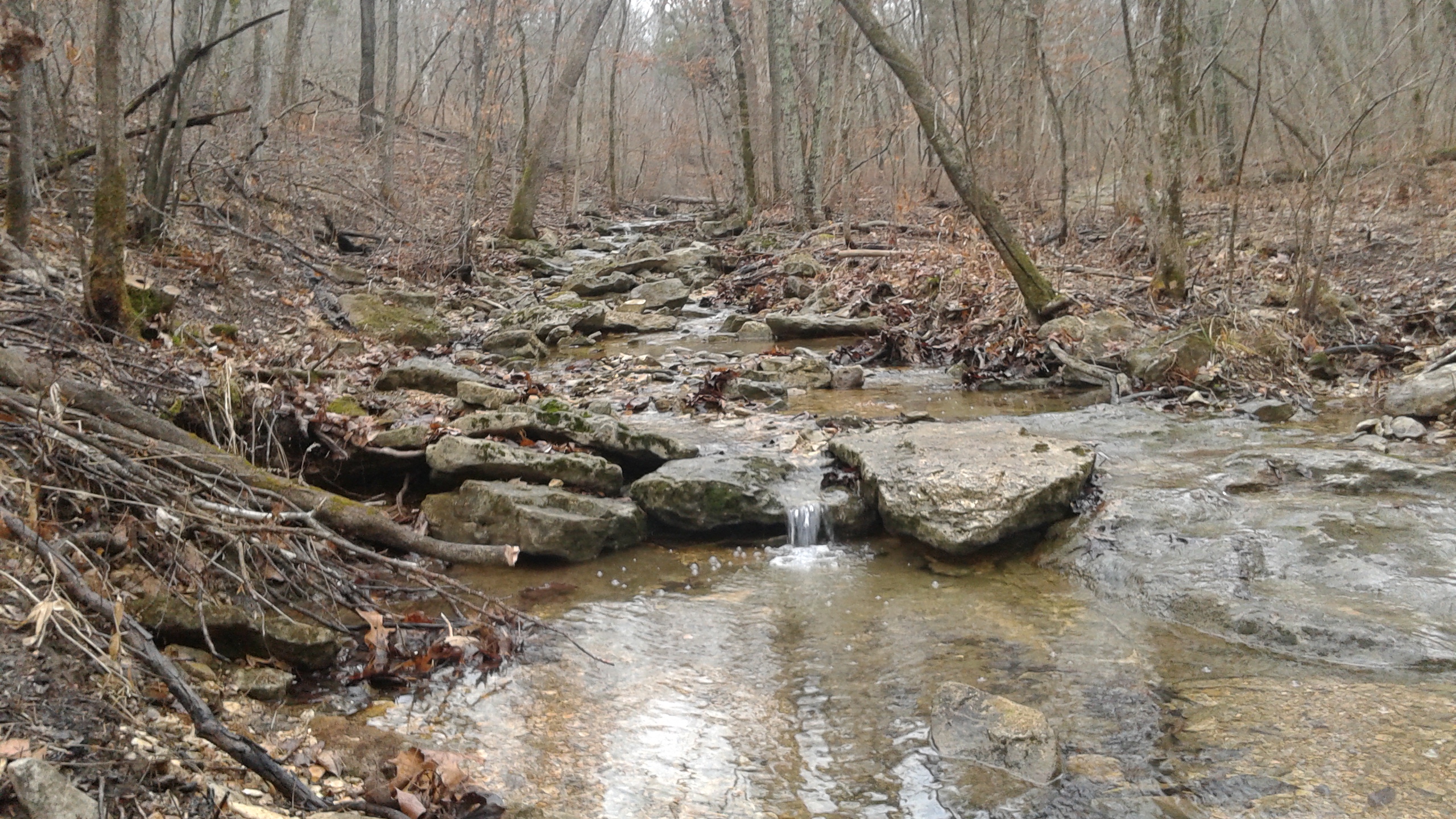
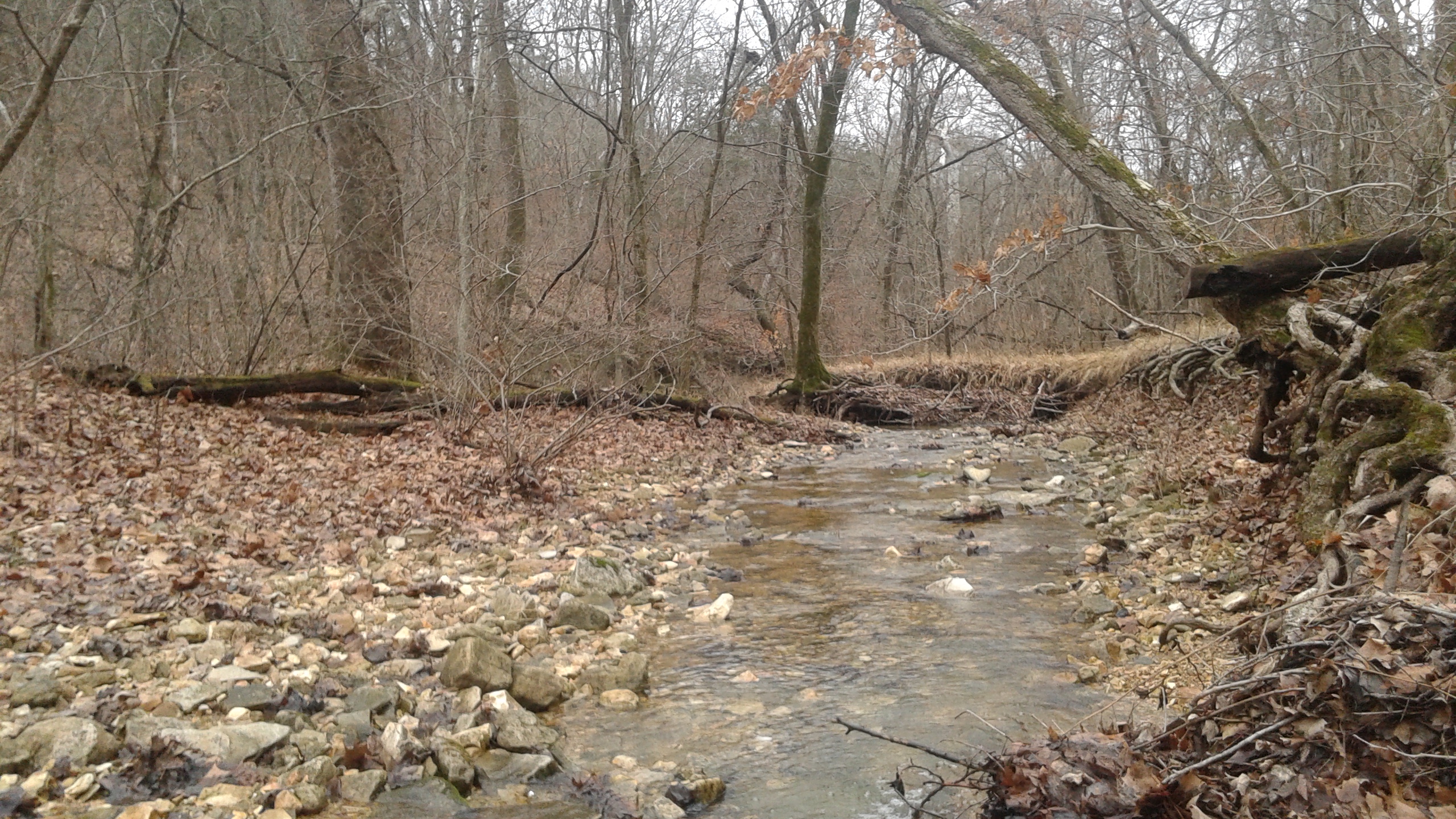
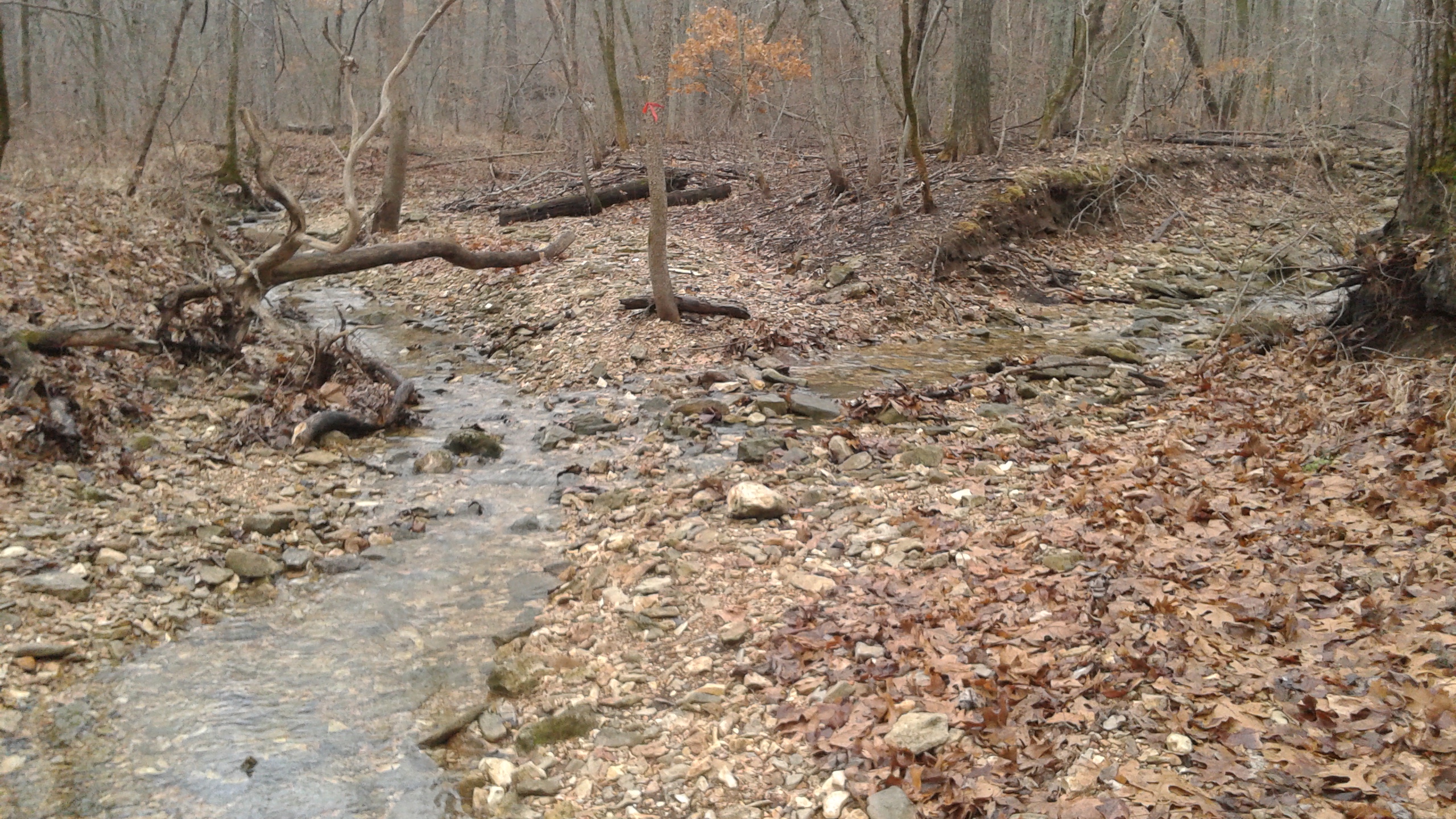
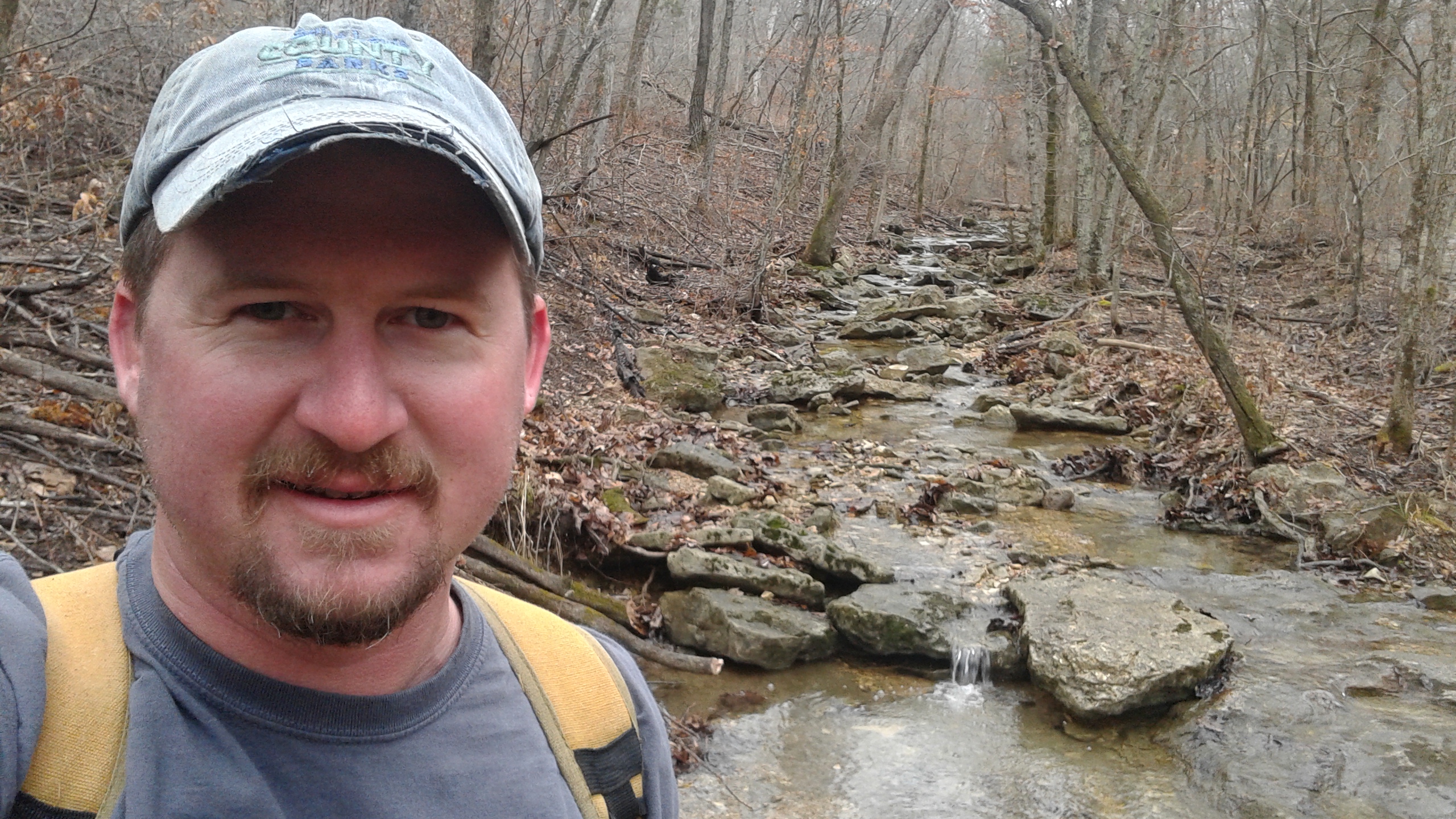
 I always say that a good trail needs a water feature, and when you aren’t breathing hard while climbing a hill, you are following a stream. There are just about as many miles of trickling water as there is trail to hike, and that adds a playful and warm ambiance to the journey. The sound of splashing and splattering, as the liveliness of the collected rain makes its way down the rocky trenches it has cut into the hillside next to you is always a welcome companion in the woods.
 There is a section of the trail where it looks as though there has been some pretty severe wind damage. According to one weather site, in May of 2013 a tornado did pass to the south of this area, but I don’t know for sure if that is the cause. A hillside scattered with snapped off trees, still pointing to the sky, headless. It is a terrifying thing to see, if you really think about it, but it is fascinating as well. Nature has a strength that we really fail to see used to its full potential, and this area is a strong example of what it can do when the elements are there for it.
What you need to know:
 The MDC page and brochure for this area states that the length of the LaBarque Hills Trail is 3.5 miles. Something that is not stated is that it is just over a mile or so to the beginning of the loop, so a round trip is going to be somewhere between 5 and 6 miles. If you don’t feel like going that far, hike the Taconic Loop Trail instead, which according to my calculations is actually 2.5 miles from the parking lot and back.
 Young Conservation Area is a popular place for hunting, so be aware when you venture into any part of it as to which hunting seasons may be going on currently. Just as we wouldn’t want someone disrupting an afternoon hike by filling the air with the sound of gunfire, we should be mindful and accommodating to those that want to practice their hobby of harvesting game when the state allows. If the parking lot is full, maybe find another trail to hike that day, like the LaBarque Creek Trail or the trail in the Glassberg Conservation Area, so that we can all enjoy the ways in which we spend time in the forest.
 This has the potential to be a difficult trail. The hills get big toward the southern end, and as this trail has water alongside most of it, the two times I have been back in there there has been water ON the trail in spots too. A wet forest is a healthy forest, but it is also a slippery and shoe-soaking forest. Be prepared for a bit of a challenge, especially in sections down in the bottoms, as well as in the multiple water crossings. It can be fun, but after a handful of miles, some people just see it as tedious.
 This was the first time that I had hiked the entire loop and with the weather as dismal and cold as it was, along with people out buying last minute gifts, this Christmas Eve hike was very much an isolating and reflective journey through the forest. With no one to talk to except for Max and the splashing of water, the time we spent in the hills above LaBarque Creek gave me a peaceful opportunity to experience the depth and challenge that exists in the forests just nearby. One of those places that you realize you kind of don’t want to share with anybody else, but you also realize that it would do some good if everyone visited at least once. Merry Christmas!

Very cool. I tried to do it, but got lost… couldn’t find the footbridge to cross the creek… and ended up at Glassberg instead… I’ll have to revisit this another time for sure! http://mkdesignsphoto.blogspot.com
That is what happened the first time we went there. We walked the loop around the fishing pond that goes down near the creek, and then when we were on our way back we realized that there was another trail going past and around.
I need to find that OTHER trail this fall!