
The View in the Afternoon, Frenchman’s Bluff Trail, Cuivre River State Park 6/28/2013
 So we were going to camp Friday night at Cuivre (Quiver) River State Park in Troy, MO and go to the Missouri Mycological Society foray the next morning, and we had gotten up there with enough time to set up camp and go hit a trail before dinner time. We were in the mushroom hunting mode so I figured that we didn’t need to hit the longest trail, but I also didn’t want to hike some little loop that was going to put us back at the car in twenty minutes. I consulted my “Trails of Missouri State Parks” book (this thing is massive and is definitely one that every Missouri hiker needs to add to their collection!) and found out that Cuivre River has ELEVEN trails total! The 1.5 mile Frenchman’s Bluff Trail had a great description and we decided that it sounded like the perfect length.
 How to get there:
From the 44/270 interchange take 270 north to 64/40. Go west on 64/40 for about 25 miles. When you hit the interchange with interstate 70, just continue north on 61 for about 15 more miles. When you get up into Troy, MO you will come to MO-47. Get off the highway at 47 and head east (right). After about 3 miles, the entrance into Cuivre River State Park will be on your left. This is MO-147 and you will stay on this for a couple of miles, crossing a one lane bridge, passing the visitor’s center on your left, and then over another bridge, up a hill and to a parking lot/picnic area that is also the location of the Frenchman’s Bluff Trailhead.
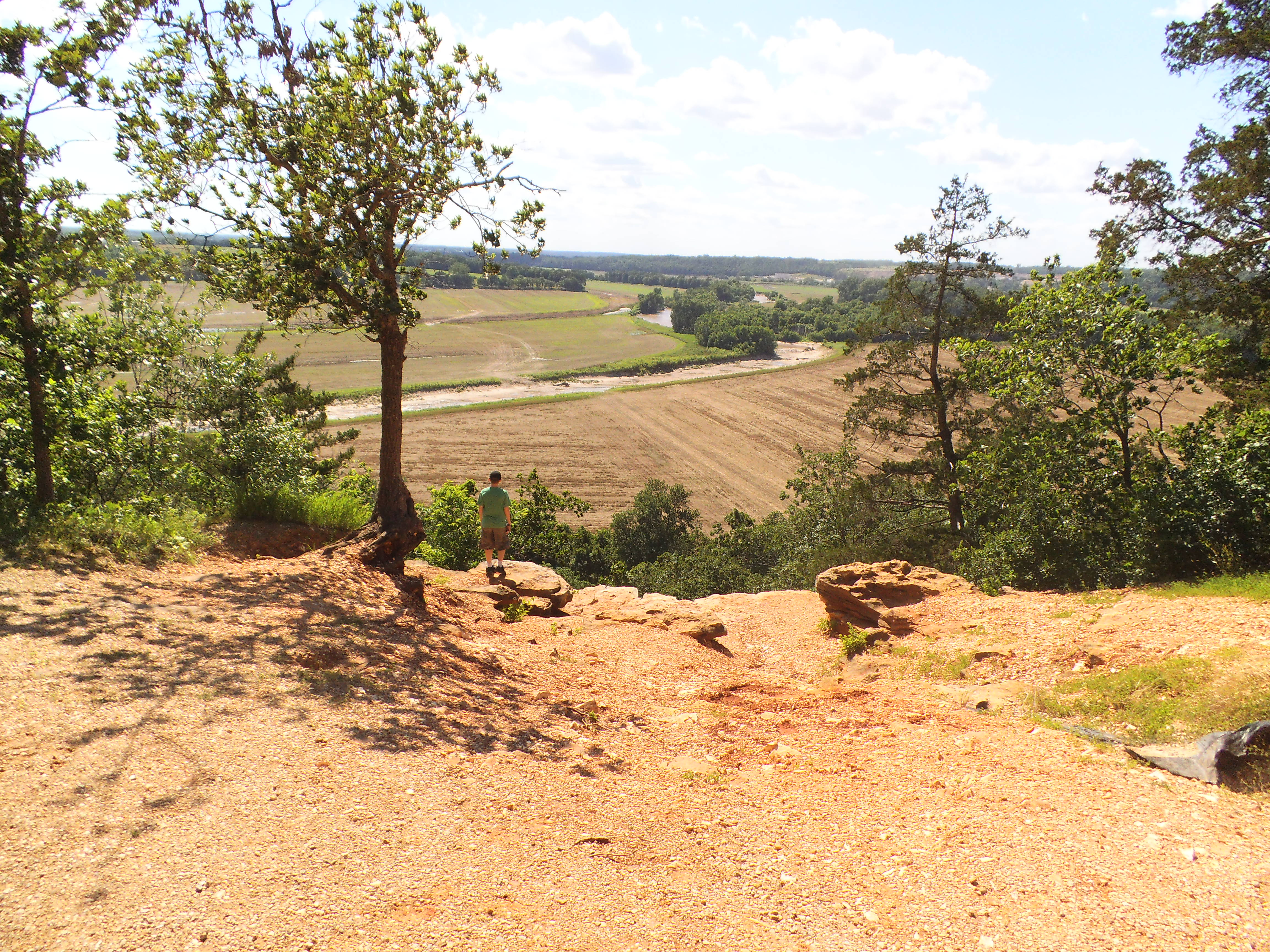
 From the trailhead, it is a steady downward incline into the Geode Creek bottoms area. After following the creek for just a bit, you cross it and start to make your way up the hill to the fork. We opted to go right (counter clockwise) and walked along the side of the hill as it led us up and to the bluff area at the top. When you get there, you step out onto the gravel parking lot along Cheatham Road, and just in front of you is Frenchman’s Bluff, with a great view of the farmland of Troy spreading out just on the other side of the Cuivre River. The trail then turns left and takes you through a series of overlooks as it descends down into the river bottom. Toward the lower area, it turns left and soon crosses back over Cheatham Road, and back toward the fork in the trail. You then cross the creek, and hike back up to the picnic area from which you started.
 What I like about this trail:
The bluffs have a great view to the west over the local farmland/flood plain. It is the centerpiece of this trail and definitely worth checking out.
It wasn’t too long and none of the inclines were that severe at all.
This would be a great trail to hike and then have a picnic lunch afterward. The picnic area also has a playground, for those kids who still have energy to run around after the hike.
 What you need to know:
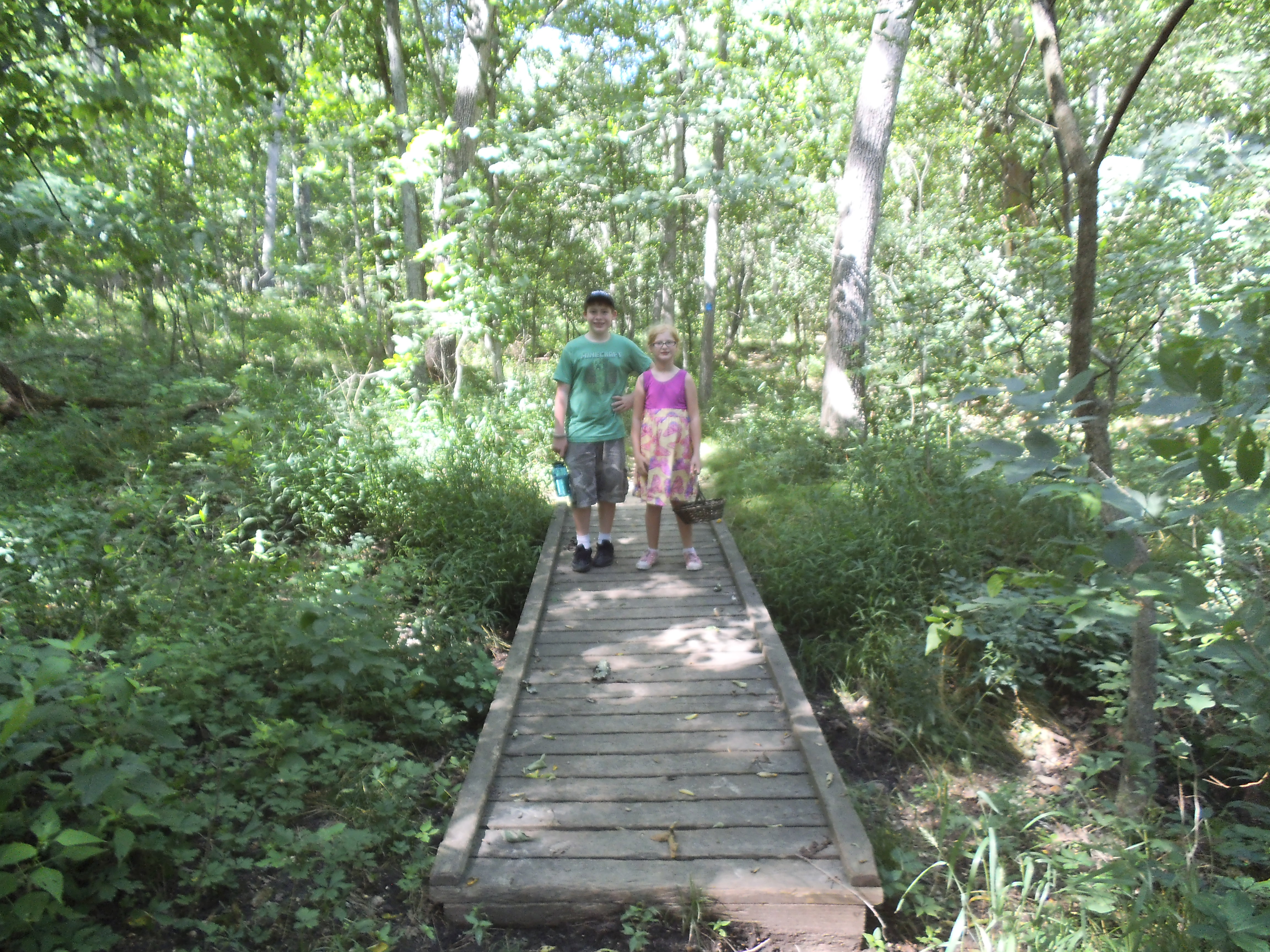
It hadn’t rained that recently, so the creek was empty and the trail was dry. The lower part of the trail gets a bit of horse traffic, as another trail shares that section, so I would imagine it could be pretty muddy after a storm.
Also, during times of flood it looks as if Cheatham Road and the lower parts of the trail get a bit of river backwater action. There was that telltale dust covering a lot of the underbrush to a very clear elevation, where the river had recently filled up to.
Pay attention to the trail “blazes”. For the Frenchman’s Bluff trail it is blue, and this trail joins up for quite a bit of its length with some of the longer trails in the area. Make sure you keep an eye on the trees ahead for that little blue plastic square to keep you on track.
 For being one of the shorter hikes I have gone on recently, the view was very impressive and it filled out the afternoon with a great chance to see the area. The kids and I found a decent amount of different mushrooms and they got to play on the playground for just a bit before we headed back to the campsite to start the fire and eventually get dinner going. A perfect afternoon hike with some great kids!
